


Rowtor Rocks, September evening.

Doll Tor stone.


Transient art. An arrangement of cones, twigs and berries in the centre.

No matter what nonsense gets thrown its way,this is still one of the finest stone circles to visit.

A sky without a god is a clear, clear sky.

Looking down on Darley Dale and the Derwent Valley. The Gorse Stone can be seen on the lip of the moor, in the middle distance (centre).

T2 looking fine in the early evening light. There seems to be a new bush of some sort growing from the centre, which is less fine.

The heather guards its secret well, but it’s there if you know where to look. Looking across the Derwent valley.

Bracken doing its best to hide the site from prying eyes, but it’s still a lovely place to come. Unbelievably, the first stone circle I visited this year.

Looking down on the Derwent Valley from the rock basin behind the Gorse Stone.

The Gorse Stone with Stanton Moor rising behind.

Towards the western end of the cross-dyke, crossing the photo from bottom right to centre left.

Looking downhill along the cross-dyke to its eastern end. The low bank can be seen heading away from the viewpoint, just left of centre, with a ditch running alongside on its right.

The northern side of the barrow.

Beneath the vegetation, the top of the barrow is level and doesn’t appear to have the usual central crater or hollow.

Sizable chunk of limestone on the top of the barrow.

The eastern side of the barrow.

Seen from the path to the south, the barrow is more obvious than I’d hoped.

Looking towards the northeastern end of the barrow.

Looking northeast along the barrow from its southwestern end.

The southwestern end of the barrow.


Looking southwest along the barrow.

The first sight of the barrow from the north.

Very scant remains of the northernmost section of rampart.

Looking southeast, Pen Hill with its summit stand of trees is right of centre across the Churn valley.

Looking west, the Churn valley dropping away below.

Beeches line the western rampart.

Exposed stonework on the southern rampart, showing the construction.

Southern end of the western rampart.

The bank at the southern corner of the fort.

Landscape context from Pen Hill to the south. The Churn Valley lies between the two hills.

The northeastern edge of the barrow, where the mound is at its best preserved.

The higher northern end of the barrow.

Looking southeast. Difficult to see in the photo, but the edge of Marlborough Downs can be seen on the distant horizon, far left.
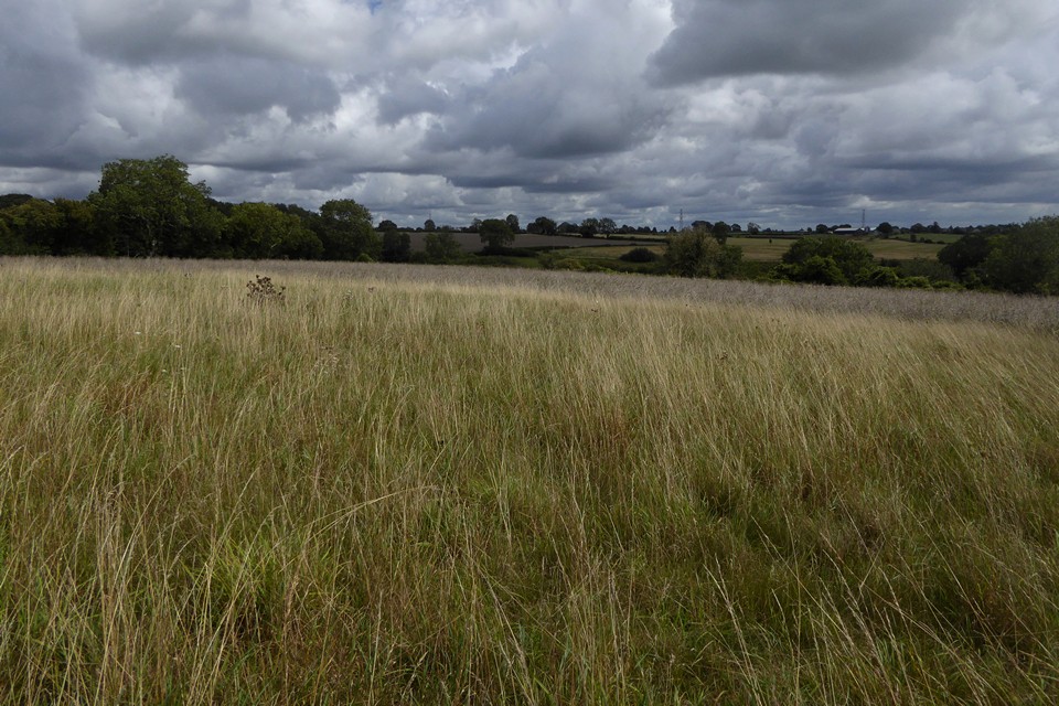
Looking east, the curve of the barrow is quite well-defined.

Looking north along the length of the barrow.

From the edge of the field to the east.


Looking northeast. The Churn Valley drops away out of sight, between here and the wooded hills on the skyline.

The mound of the barrow extends beyond the fence and trees. It’s a decent barrow under the vegetation and doesn’t appear to be under threat of the plough at present.
