
With hindsight an August visit in shorts was maybe not the ideal time to come. The barrow shelters under the trees, through the knee-high nettle barrier.
Image credit: A. Brookes (23.8.2020)

With hindsight an August visit in shorts was maybe not the ideal time to come. The barrow shelters under the trees, through the knee-high nettle barrier.


Looking south towards the long barrow (behind the row of trees) across the top of the round barrow.

The low round barrow in the field to the north of the long barrow, difficult to see under long grasses.


The northern end of the barrow, seen from the road.

Looking SE. The distant hills on the far right skyline are the Marlborough Downs across the border in Wiltshire.

Looking ENE across the low mound of the barrow, thankfully no longer being ploughed but instead left to grasses, wild flowers and insects.

More of the circular features to the northeast of the long barrow.

I came across several circular crop/parch marks just to the northeast of the long barrow. The low profile of the barrow’s northern side in the background is clear from this angle.


The long barrow from the west. Sadly the farmer has dumped a load of earth/manure and cut-down tree branches on top of the mound and set fire to them.

Looking SE over the arc of the conspicuously circular churchyard perimeter, the intervening ground only allows the top of what I took to be Worcestershire Beacon to peak over the skyline.

The 1,200 year old yew mentioned in Carl’s fieldnotes.


The stone is a good slab of local sandstone.

Nice and easy to find, right next to the gate.


Golden light of a midsummer’s evening.


On a warm midsummer evening the barrow is alive with the hum of insect life, butterflies, caterpillars, grasshoppers and ladybirds abound.

Just past midsummer, in newly mown surroundings.

The hillfort rises over the ghosts of medieval ridge and furrow in fields to the north.


Multiple circular crop/parch-marks noted in a field across Coldwell Bottom to the south of the long barrow.

Looking down on Coldwell Bottom to the left.
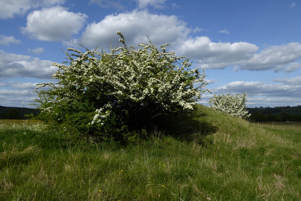
It’s safe to cast a clout, the May is out.

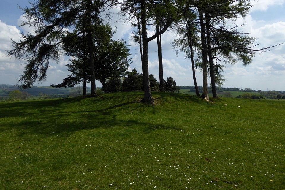
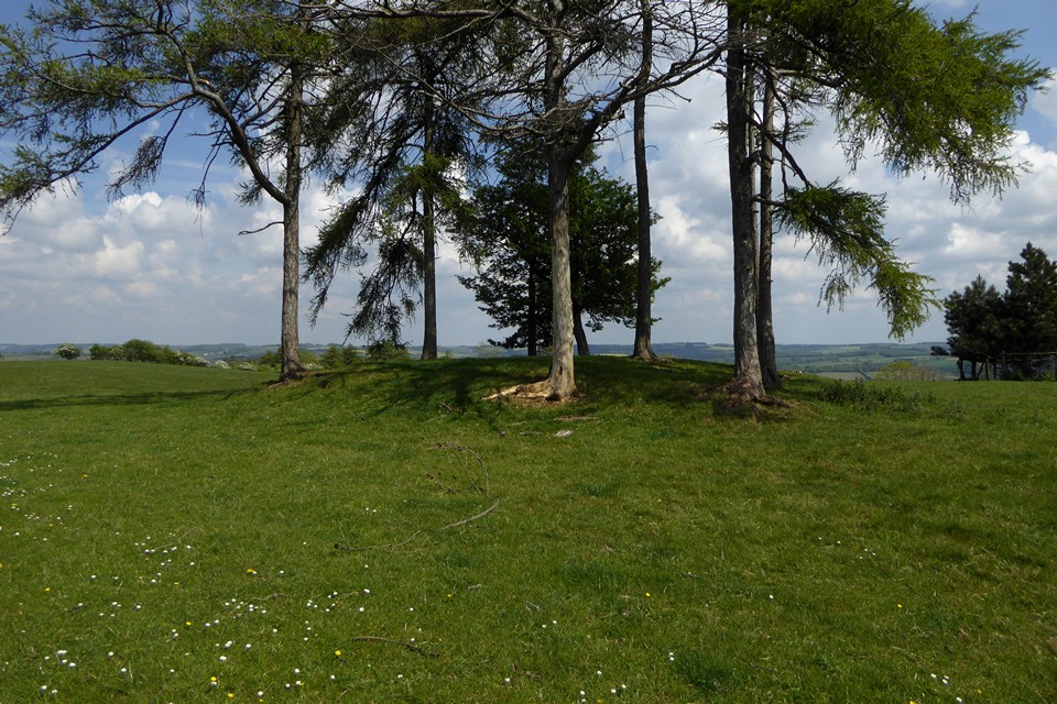
Looking from the site of the lost barrow towards the prominent St Paul’s Epistle round barrow, topped with trees on the hilltop.

Looking south along the field where the barrow was. It sadly hasn’t reappeared in the 10 years since I last came.

The prominent hilltop location seen from the south.


Part of a linear group of circular cropmarks we saw in field to the SE of the longbarrow, at approx. SO997184. They are between the long barrow and the prominent St Paul’s Epistle round barrow.

Looking towards the longbarrow from the east, in the approximate location of the “mound” shown on the OS map, which is speculatively considered to have been a round barrow. There’s nothing obvious here now.

The western end, surrounded by a splendid crop of dandelions.


Freshly ploughed around the southern rampart.


May Day round barrow, resplendent in cowslip finery.

Ephemeral messages of hope and good wishes made from the quarried rock that once formed the fort’s western flank.