
Mulfra Hill B, looking NE.
Image credit: A. Brookes (20.6.2012)

Mulfra Hill B, looking NE.

Exposed stonework in Mulfra Hill C (this is the trench mentioned in Miscellaneous post). Apologies for horribly blurry picture, it was pouring with rain by this point.


Mulfra Hill C in the rain. The March 2012 gorse fire has made access much more possible, although the bracken has soon sprung back up to cover the mound itself.
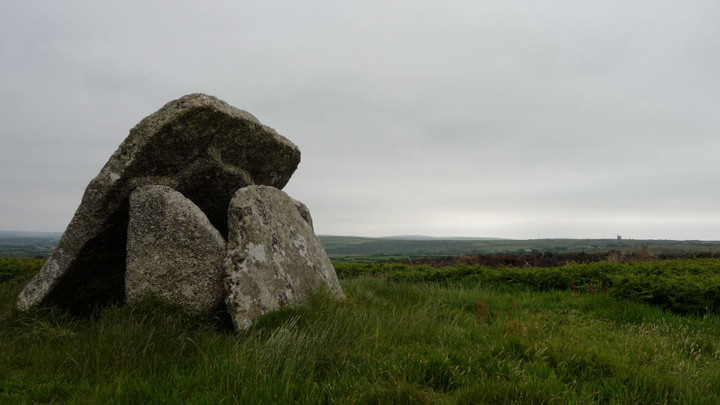
Over the moor to Ding Dong.

England’s summer up at Mulfra Quoit.
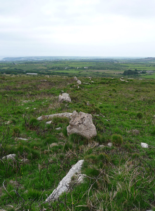
Looking along one of the ancient field boundaries revealed by the burning.

On our way up the southern slopes of Mulfra Hill we came across a rock outcrop that has been augmented, to form a small square roofless chamber with walling on one side and an upright slab blocking off the end. No idea what sort of age this has, but it’s clearly man-made.

The southern slopes of Mulfra Hill, revealed by an extensive gorse fire in March 2012. The standing stone is in the area west (left) of the path that can be seen as a lighter diagonal line across the slope. G/F is probably not far from it, as she approaches the quoit.

Across the best of the houses towards Mounts Bay.

Looking out through the front door.

Grey day, Mulfra courtyard settlement. Looking westwards towards Ding Dong.

Showing how the barrow has been practically cut into sections.

The excavation trench crossing the barrow. St Agnes Beacon can just be seen on the horizon (top left).


The “worst” aspect of the barrow, where erosion has taken its toll.

The barrow is pretty mutilated, but location counts for a lot.

The barrow on top of its headland (centre), Godrevy Island (right) and West Penwith beyond (left). Seen from The Knavocks to the east.

Anyone wanting to see this barrow should come soon, the next landslip will be the end of it. The rock crocodile at the foot of the cliffs awaits the outcome. Looking up the coast towards St Agnes Beacon (left).

The full extent of the threat to the barrow’s existence is apparent from the west. Half the mound has already gone over the cliff edge.


Approaching from the east, the barrow looks to be intact. The hills of West Penwith rise in the background.

Castle Pencaire (centre) and Godolphin Warren (right) seen from Reskajeage Downs far to the NNE.

The prominent Carn Brea, seen from Reskajeage Downs to the northwest, near the Crane Castle cliff fort.
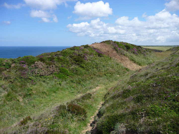

The inner rampart, now guarding nothing but thin air. Looking east – St Agnes Beacon is on the skyline (centre).

The west end of the ramparts falls away over a sheer cliff.

Crane Islands, seen from the inner rampart. The spoil at the foot of the cliff was part of the collapsed fort.

Looking westwards along the inner ditch.

The (inland) annexe is very overgrown with gorse and brambles. Looking across to the fort ramparts.

Crane Castle (what’s left of it) perches at the top of the cliff, slightly left of centre. The ramparts can be seen. The landslip at the foot of the cliff shows how precarious this site’s continued existence is.

Zoom on St Agnes Beacon from the SW. Viewpoint is the cliff-top path above the intriguingly named Ralph’s Cupboard, near Portreath.

St Agnes Beacon rises prominently (centre). The viewpoint is Western Hill above Portreath.

Beinn na Cailleach rising over the Skye Bridge. Seen from hillside above Kyle of Lochalsh.
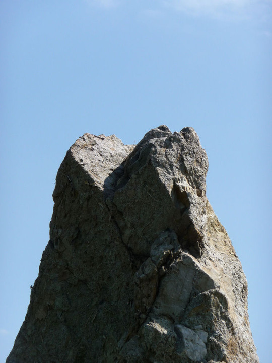

The stone (and wall) has a bit of a lean.


The narrower faces reveal an inner structure rather reminiscent of nougat.

Note how the broad slab narrows towards its foot.

No excuse for mistaking this for a tree now!


Detail of the crystalline structure.

It really is pink, but the photos don’t show off the sparkliness.


The blue skies that had accompanied the morning disappeared as we arrived at this site.
