
The western face of the stone.
Image credit: A. Brookes (1.12.2012)

The western face of the stone.

Looking northwest under a low Winter sun.


The dunes are very well established, to the point where there are permanent pools of brackish water. But what lies beneath?

Kenfig Sands from Sker Point at high tide, no footprints today! The Mumbles and Swansea Bay on the far horizon.

Looking from the dunes over the mouth of the Ogwr/Ogmore, towards Ogmore-by-Sea, Armistice Day 2012.

The dunes cover an enormous area and at their northeastern edges are about a mile from the sea.


Looking north at the mid-point of the rampart.

A winter visit is recommended, when the vegetation in the ditch is at its lowest. The horrible dumping/burning shown in Gladman’s photo is just out of view further along the rampart.
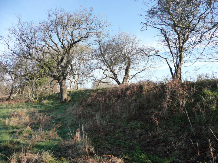

Showing detail of some of the disturbed stone used in the construction of the bank.

The single bank and ditch of the rampart, from the entrance at the south end.

Dunraven from the opposite headland, above the “Dancing Stones”.

Looking up at the imposing defences of the main fort from the northwestern annexe.

The northwestern annexe from the main ramparts.

Looking down from the inner rampart to the outer.

On the main rampart at the northern end of the fort, looking northwest. The ground drops away steeply on the right.

The sloping, seaward part of the fort, beyond the fortifications.

The fort from the seaward end of the promontory. The highest part is encircled by the main rampart (fairly slight on this side). The sloping area between the rampart and the sea, where this photo is from, was occupied by huts (and then pillow mounds in the Middle Ages).

The southern end of the northeastern rampart. Apologies for blurriness, it was pouring with rain at this point.

Dunraven seen from cliffs north of Cwm Bach. The next soaking of the day is on its way beyond.

The flat interior of the enclosure, seen from across the Cwm from the north.

The northern slopes down to the Cwm really are very steep. Looking east.

Looking down into Cwm Bach from the northern edge of the enclosure.

The northern side of the enclosure falls very steeply down to Cwm Bach itself. The headland in the distance is Dunraven, the most westerly of the chain of Glamorgan coastal forts.

Looking SE across the interior of the enclosure towards the rampart.

The ditch and bank of the single rampart cutting off the promontory.

Approaching Cwm Bach enclosure from the SW, the single rampart prominent ahead.

Whitmore Stairs enclosure. Contender for least-impressive prehistoric earthwork on TMA? The very low remains of a bank curve from the bottom right corner to centre left. Luckily the cliff-top setting makes up for the lack of visible remains. Porthcawl can be seen in the distance, top left skyline.

A stark warning as to the dangers of these cliffs. The grass-topped area in the left foreground is an enormous chunk of slipped cliff, hundreds of tons of rock that has simply detached itself from the rest of the face. Whitmore Stairs enclosure (what’s left of it) is on the headland ahead.


Four lines of ramparts protect the approach to the promontory.


The view across the remains of the fort interior.

The steep drop down from the eastern flank to Marcross Brook.

The western side of the fort has been chewed away by the sea, leaving vertical, crumbling cliffs.

Detail of the multiple lines of ramparts across the neck of the promontory.

The steep eastern flank, natural defences in need of no enhancement.

The possible long cairn, from the northwest. It does live up to its “long” billing from this angle.


A good retrospective view of the wedge-shaped fort can be had from the cliff-path on the opposite side of Cwm Col-hun.

Thick shrubby vegetation cloaks the northwestern slopes above Cwm Col-hun. Viewed from the western tip of the fort.

Looking westwards along the coast from the crumbling cliffs at the west end of the fort interior.

The single rampart at the top of the steep NW slope above Cwm Col-hun.

The overgrown inner rampart from the fort interior. The Bristol Channel, with Exmoor beyond, can be seen in the background, far right.

The vegetation-choked ditch between the middle rampart (left) and the inner rampart (right). Looking SSE.

Bronze Age shield from the River Thames, Central London. On display in the British Museum.

Fine beaker from Rudston, on display in the British Museum.

The Battersea Cauldron (dating to 800-650 BC), on display in the British Museum.
“This cauldron is a late example, dating to the beginning of the Iron Age. It was made from seven sheets of bronze, carefully shaped and riveted together. The upper sheets are sharply out-turned and corrugated for strength. A tubular binding was added to the rim and two ring-handles were attached by riveted strips.”