


Fellow visitors give some scale to the single bank and ditch. Looking north across the Loughor/Llwchwr estuary to Pembrey and Burry Port in Carmarthenshire.

The single rampart cuts across the promontory, cutting off the higher area on the left.


Across Rhossili Bay from the fort. Burry Holms promontory fort can be seen centre left, joined to the shore at low tide.

Looking NE across the fort to Rhossili Down. The rampart arcs round the right hand side of the picture.


Outer Head and Devil’s Bridge from Inner Head.

Looking back across the rocky Causeway and cliffs of SW Gower from Inner Head.

Looking across Rhossili Bay from Worm’s Head, to Rhossili Down.

Inner Head, which reminded me a little of Isandlwana.


Worm’s Head from the start of the Causeway, near Kitchen Corner.

Landscape context for three of SW Gower’s cliff forts. Seen across Fall Bay from Tears Point.

Approaching the fort from the east. The two lines of defence, although much-reduced, are visible crossing the picture (the inner rampart is marked by sheep).

Scant remains of the earthwork of Mew Slade fort crossing the field.

Sheep and lamb give scale to the middle rampart.

The outer rampart seen from outside the fort. The end of the middle rampart can be seen far left.

Looking across the interior of the fort (inner rampart visible). Rhossili Down is the hill of the left skyline.

The seaward side of the fort falls near-vertically down to an extraordinary ski-jump of a cliff below. Horse Cliff fort is visible upper left.

Horse Cliff seen across Deborah’s Hole from the neighbouring fort to the NW, The Knave. The cliffs are gradually being undercut by the sea.

Rockrose Cave is somewhere in the cliff face opposite. Seen from the headland close to neighbouring Longhole Cave.


The entrance to Longhole Cave.
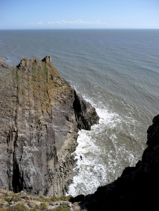
The vertiginous drop on the eastern side of the fort.

Looking NW along the single bank. Rhossili Down is the prominent hill.


The view over the cliffs of “Yellow Top”. Goat’s Hole cave is out of sight, but the sloping tongue of rock that allows access to it at low tide is visible at the very bottom of the picture.

Looking back down to Foxhole Slade from the fort after our climb up.

The sea cave below and to the east of Goat’s Hole. This would have been dry and spacious during the Paleolithic.


The Red “Lady” was found in the area on the right.

The view from the porch, sans mammoths.

Scary-looking “access” to the upper chamber.

Mineral deposits have painted the bowels of the cave with multi-coloured swirls and patches of glitter.


This is the way, step inside.

The extravagantly sculpted rocks of the shoreline below the cave provide a bit of difficult terrain to cross.

The first sight of Goat’s Hole from the shore.

The path through Foxhole Slade from the Coast Path.

Crickley Hill and neighbouring sites, seen from Cooper’s Hill Wood to the SW.

The southern end of the rampart, much reduced. Looking north.

The most substantial section of earthwork, at the northern end of the single rampart.

A very fine barrow in need of a bit of tidying.