


The rock-cut ditch, quite silted up now.

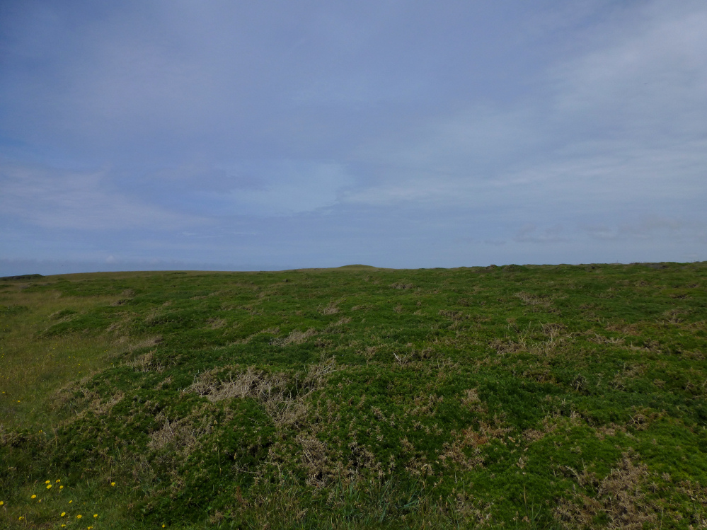
The most prominent barrow from the southeast. There is one more barrow somewhere in the gorsey wilderness in the foreground, but it’s not shown on the OS and we didn’t know it was there.

Looking eastwards across the barrow at SW 8447 7101.

The barrow at SW 8447 7101.

The barrow at SW 8447 7101, the finest in the group at the high point of the headland.

The coastally-challenged barrow at SW 8444 7120, with the better-preserved western barrow visible behind on the right.

The barrow at SW 8444 7120, which would be pretty good if half of it hadn’t fallen over the cliff.


The westernmost barrow in the group (SW 84417130).

The easternmost barrow is set back a long way from the cliff edge.

The easternmost barrow (SW 8461 7126) in the group has a huge diameter (c.30m) but is low, suggesting it’s been lowered and spread by ploughing.

The barrow at SW 8478 7150, with the northernmost barrow directly behind.

The low barrow at SW 84787150.

As well as coastal views, the northern barrow also looks up the valley towards Trevemedar.

The scooped top of the northern barrow at SW 8481 7157.

The northernmost barrow at SW 8481 7157, looking north towards Dinas Head and Trevose Head.

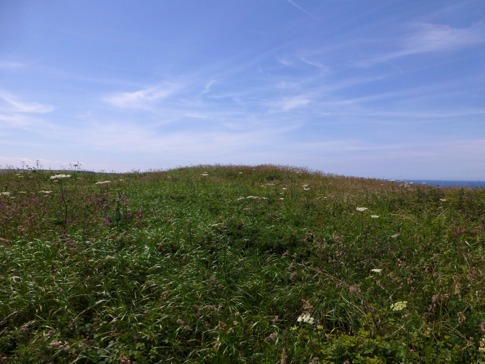
In order to save my lower legs, this was as close as I made it to the barrow. Decent size and no obvious damage, under the vegetation.

The area around the barrow is very overgrown in summer, much of the intervening vegetation is brambles and nettles.

The barrow is a prominent bump when seen from the cliffs to the north.

Looking NNW. Dinas Head, with its kerbed cairn, can be seen on the skyline, right of centre.


There’s a decent sized barrow here, in a beautiful location.

The barrow in its precarious cliff top position (centre). Erosion is bringing the edge ever closer.

The southern flank of the southern promontory, looking down on Warren Cove. St Agnes Beacon can just be made out on the distant left horizon.

Looking across the southern promontory ramparts towards Dinas Head.

The ramparts on the southern promontory.

Pepper Cove, separating the southern and central promontories.

Inner bank and ditch of the central promontory.

Outer bank and ditch of the central promontory, looking across to the northern promontory.
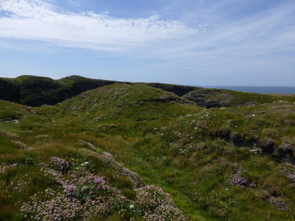
The ramparts and entrance of the central promontory, with the ramparts of the southern promontory visible beyond.

Wind and waves have scoured the edges of the northern promontory down to bare rock.

The best-preserved section of the rampart on the northern promontory.

Looking along the rampart of the northern promontory across Treyarnon Bay. The prominent headland on the left skyline is Dinas Head, site of a nice kerbed round barrow.
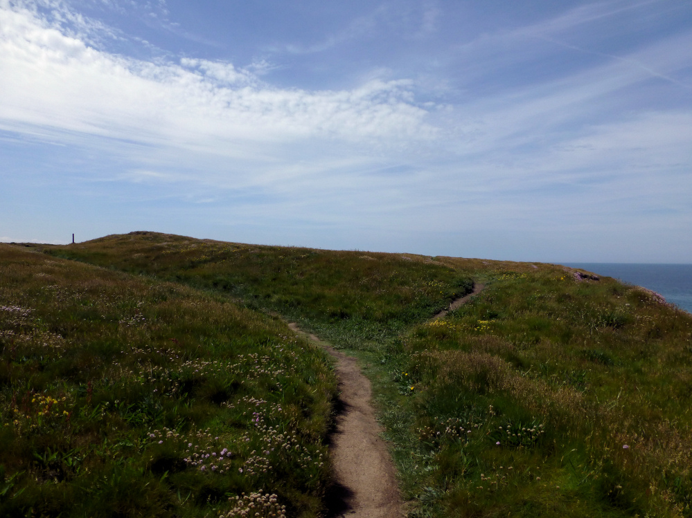
The single rampart of the northern promontory.


Looking through the inner doorway to the outer. The interior is filled with bluebells and must have looked spectacular a few weeks ago.

The doorway between the beehive chamber and the rectangular chamber. The corbelling can be seen above the doorway, as can the little alcove to the right.

The original outer doorway into the beehive chamber.

The beehive hut.


With Zennor Hill on the skyline.


One of the massive granite slabs in the kerb, surrounded this year by just-gone-over bluebells.

Towards prominent Carn Galva.

Looking west across the West Penwith Moors towards Carn Kenidjack, visible as a bump on the centre horizon.

The inscribed side, with Nine Maidens Down behind.

Towards Carn Galva and Hannibal’s Carn.