Open Source Environment agency LIDAR
Image credit: © Environment Agency copyright and/or database right 2015.
Open Source Environment agency LIDAR

The crumbling southern side of the fort. Other visitors give scale to the obvious rampart.

On the south sheer cliffs drop to Mackerel Cove. Looking towards Redcliff Castle and the tourist honeytrap of Bedruthan Steps.

Looking north towards Dinas Head. The Park Head barrow cemetery occupies the nearest cliff top, to the right.

The interior of the fort.

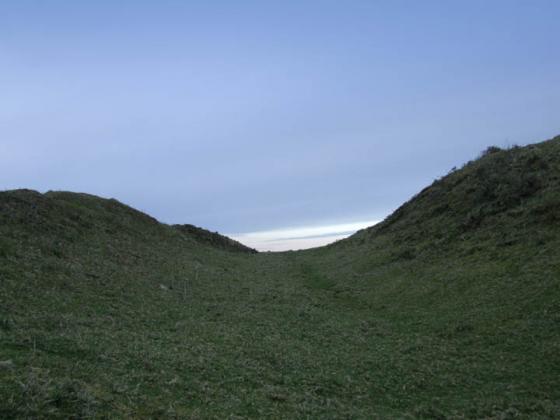
The rock-cut ditch, quite silted up now.

Approaching the fort.