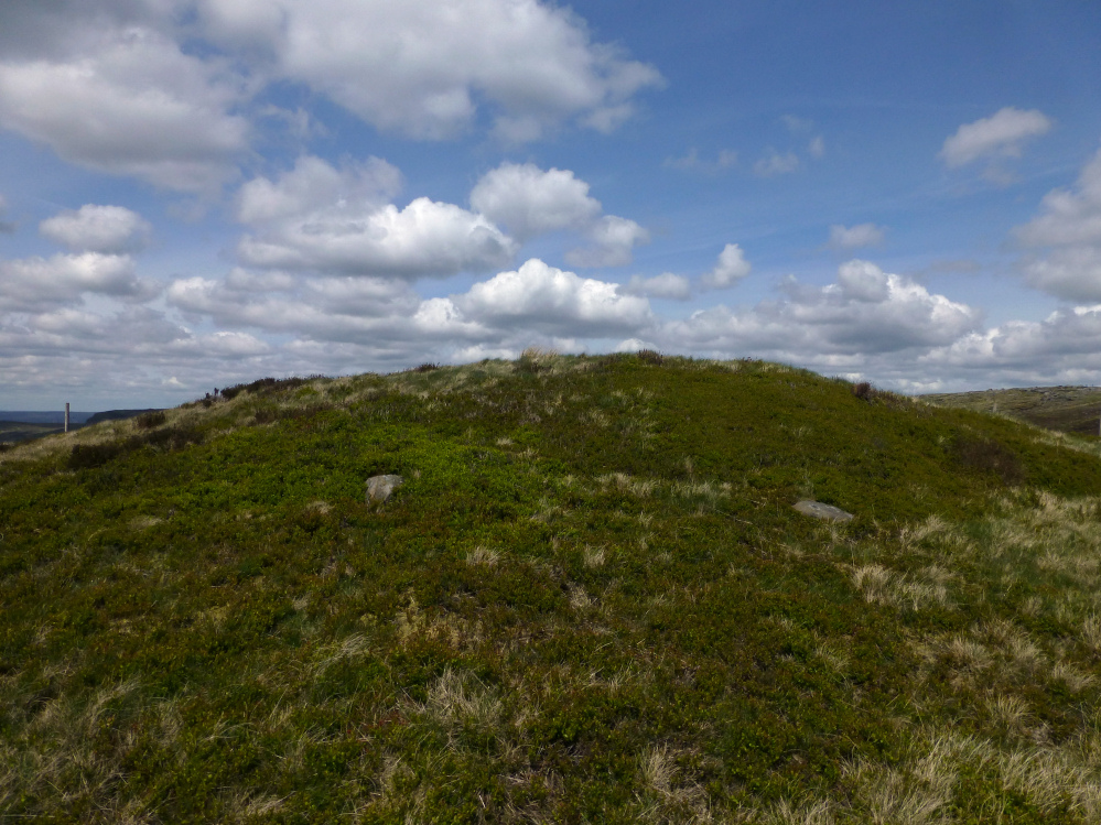
Anyone know when this big hole appeared in the top of the cairn?

A big hole, with an iron bar stuck down it, has appeared in the cairn since last summer. Does anyone know when this happened?

New Pieces Enclosure (centre), flanked by Breiddin Hill on the left and Moel y Golfa on the right. Seen across the Hafren/Severn from near The Maesydd.

Crowther’s Camp is at the northern end of a long, steep-sided ridge that rises to Yr Allt. Seen here from the Hafren floodplain to the north.

Some landscape context from the other side of the Vale of Edale. The barrow is on the high point of the ridge, centre skyline. Mam Tor is the shadowed eminence further left. Looking down Crowden Clough from the Kinder Scout massif.

Lose Hill is the pointed peak. Although it’s not certain that there is a round barrow on the summit, it’s a beautiful place for one, looking over the Vale of Edale.

From the slopes of Foel Lwyd to the southeast. You can just see Bardsey Island and the end of the Lleyn Peninsula on the horizon.

Apologies for the glare. Foel Caethle rises above the coast, behind the wooded hill of Llechwedd Melyn.


Cwm Maethlon (Happy Valley) from Llechwedd to the south. The barrow is in the centre of the picture.

Trum Gelli and Cwm Maethlon (Happy Valley).

The bulk of Trum Gelli seen from Mynydd y Llyn. Somewhere on the rough slopes over on the right is the lovely Eglwys Gwyddelod cairn circle.

The setting beside the Panorama Walk, looking towards the Tarren mountains and Mynydd y Llyn. Llyn Barfog can’t be seen from here.


Looking down on the west cairn (centre). The high hill on the right skyline is Trum Gelli, boasting three Bronze Age cairns.


Looking across Llyn Barfog from the west cairn. The northeast cairn is on top of the rocky knoll, centre skyline.


Llyn Barfog from close to the western Mynydd y Llyn cairn. The northeastern (probably modern) cairn is on top of the rocky knoll on the left.

Llyn Barfog, not very bearded on this visit. No afanc either.

The position of the west cairn, seen across Llyn Barfog.

The northeastern cairn overlooking Llyn Barfog.

The northeast cairn on its rocky outcrop. It’s probably a modern marker, I couldn’t see anything obvious to indicate an earlier structure.

The final remnants of the morning’s rain clouds cling to the summit of Tarrenhendre, hiding the cairn from view.


The southeast side of the fort, dropping steeply away below the rampart. The concrete structure on the left is a WW2 observation post.

The northwestern side of the fort. The site is now planted with conifers.

Neither the Ordnance Survey nor CPAT indicate that there’s anything other than a single rampart around the top of the hill, but this feature parallel with northwest side of the fort is suggestive of a light outer bank.