
The bank of the ring cairn can be seen on the left.
Image credit: A. Brookes (19.6.2015)

The bank of the ring cairn can be seen on the left.


The ring cairn framed between Brown Willy and Little Roughtor.

A superb ring cairn built around wonderful natural sculpture, with jagged Roughtor beyond.

Looking south towards Showery Tor, framed by the two highest hills in Cornwall, Brown Willy and Roughtor.

Looking across the cairn towards Brown Willy.


Arrangement of stones towards the southwestern edge of the mound. These may be suggestive of something structural, like a secondary inhumation. Or not.

Detail of stones in the retaining kerb or circle.

An apparent retaining circle or kerb can be seen on the northern arc of the cairn. There is also an odd linear arrangement of blocks running out from the centre of the cairn.

Much disturbed but still impressive. Looking north towards Crowdy Reservoir and Roughtor Plantation.

Looking SW towards Stannon.

With Showery Tor and Roughtor on the skyline.

Neat little round cairn at the highest part of the group, almost up on top of the ridge.

Looking west, presumably from stock. Erosion is going to fully topple the stone before long.

Looking towards Showery Tor.

The almost fallen stone, looking towards Roughtor.

Much-disturbed round cairn in the extensive group.
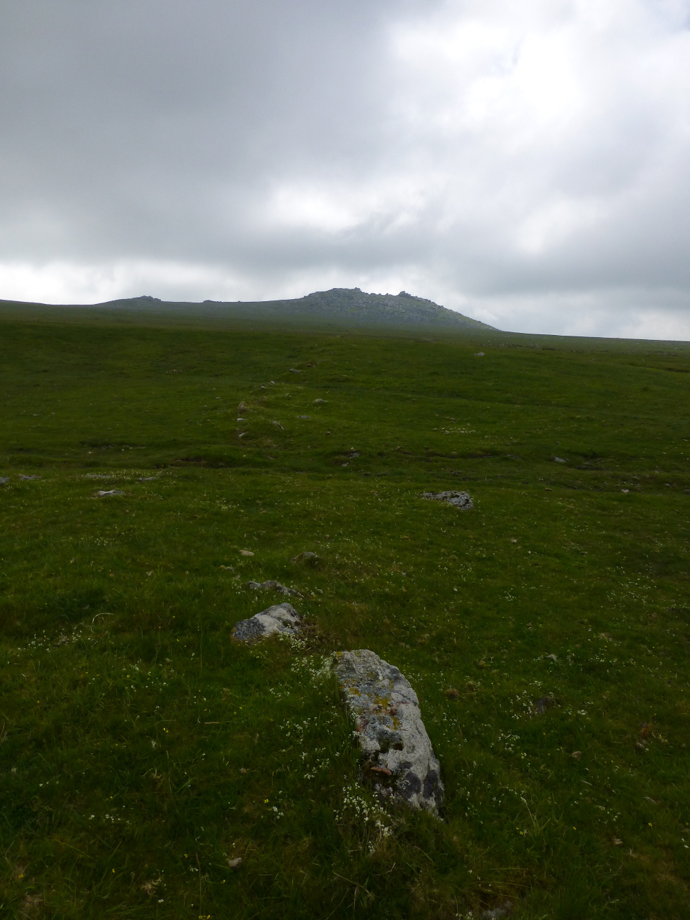
Linear field boundary adjacent to the cairn cemetery. Looking towards Roughtor.


Take away the sea, this could be the Wiltshire downs.


Concrete plug in the top of the southwestern barrow. I’m not sure whether this was just to fill a hole or the remains of something else.

Slightly smaller – but still impressive. The southwestern barrow.

Northeastern barrow from southwestern.

The northeastern barrow. It has a nasty erosion scar, but otherwise is probably the finest clifftop round barrow on the north Cornwall coast.

G/F gives scale to the magnificent northeastern barrow.

The northeastern barrow in its stunning clifftop setting.


The southern extent of the fort drops steeply to Stein Cove.




Approaching from the north presents an excellent elevated view of the ramparts. The outstanding round barrow pair at Whipsiderry can be seen on the skyline.

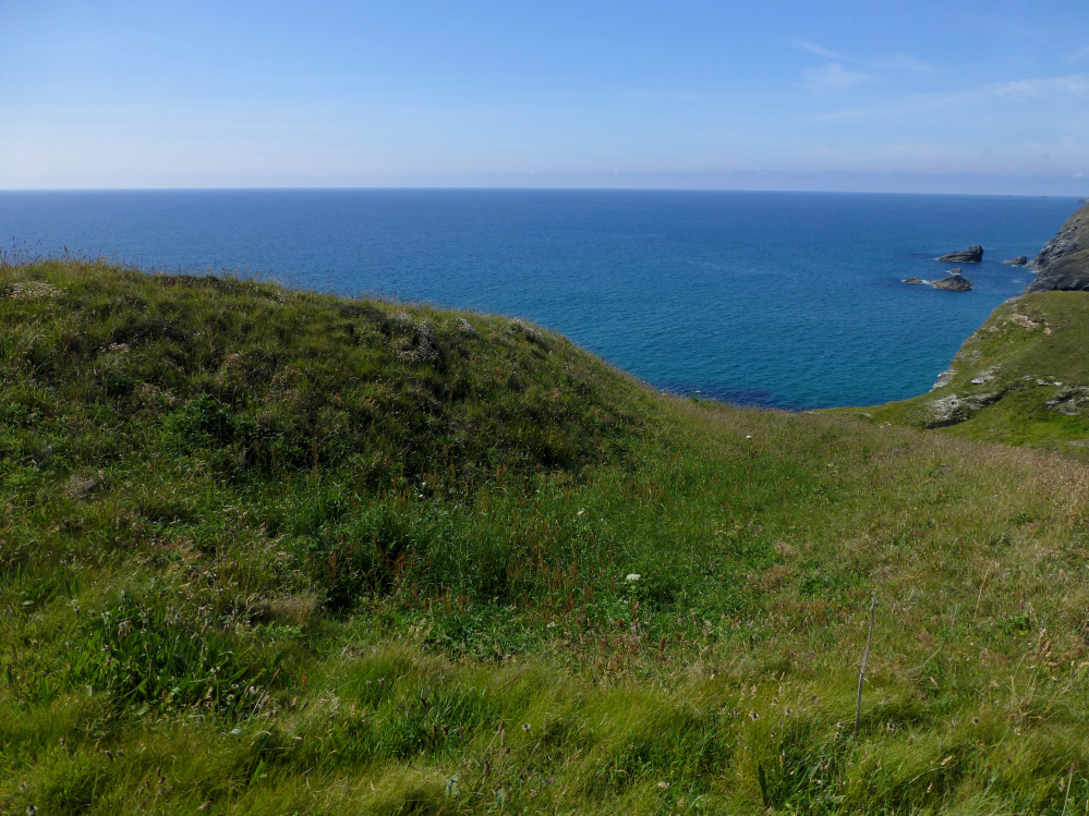
The sea view from the top of the barrow.


There’s a decent barrow hiding under the vegetation.


The fort from the south, the ramparts clearly visible. Park Head fort can be seen beyond.

The overgrown double rampart from the southeast.

Looking over the vertigo-inducing northern side of the fort towards Park Head fort, the next cliff fort north.


The inner rampart, terminating abruptly on a crumbling cliff face.

The outer rampart, which completely hides the inner rampart from this angle.

The fort is on the cliffs far left, covered in dark green vegetation. Bedruthan Steps and the rock stacks attract all the visitors.

The crumbling southern side of the fort. Other visitors give scale to the obvious rampart.

On the south sheer cliffs drop to Mackerel Cove. Looking towards Redcliff Castle and the tourist honeytrap of Bedruthan Steps.

Looking north towards Dinas Head. The Park Head barrow cemetery occupies the nearest cliff top, to the right.