
Roughtor looms over the crest.
Image credit: A. Brookes (19.6.2015)

Roughtor looms over the crest.

Looking north, the backdrop is the manmade result of china clay extraction, but at least turfed over.

Kerbing can be seen on the eastern side of the cairn, albeit not as dramatic as the pointed teeth on the west.

Looking NW towards Stannon stone circle.


Towards Roughtor and Brown Willy, the highest hills in Cornwall. Wonderful Fernacre is located between them.

Two small slabs off-centre inside the circle.


Southern arc, looking east to Brown Willy and Garrow Tor.

The NW arc, looking towards Alex Tor, crowned with a Bronze Age cairn.

Fallen stones on the NE of the circle.

Looking across the circle from the SSE.


The cist in the cairn at SX 1350 7968, looking towards Garrow Tor.

Cairn with fabulous cist at SX 1350 7968. Looking east towards Roughtor and Brown Willy, with Fernacre visible in between (although not easy to see at this resolution).
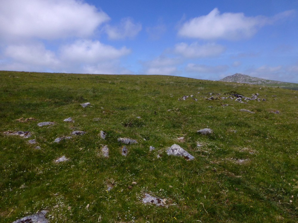
Damaged remains of a cairn at SX 1355 7969.

With Brown Willy on the left (that’s the hill, not the name of the horse) and Garrow Tor on the right.

Louden menhir, with handy equine scale. The recumbent stone on the left looks suspiciously megalithic too.


The tallest of the still-standing stones.


The little outlier to the east, with the circle beyond.

The northern arc, looking towards Brown Willy.

Fallen stone in the northern arc. If upright, this would be pretty much the tallest stone in the circle (even allowing for a third to be buried).

Looking south west. If you could see through the trees and the contours of the hill, you’d be looking roughly at King Arthur’s Hall. Louden stone circle is on the hill on the far right skyline, just left of the white ribbon of track.

The settlement occupies much of the ground between here and the steeper slopes of Rough Tor itself.


Linear feature along the southeast of the settlement, looking towards Louden Hill.

Curving enclosure wall.

Looking across the southern cairn towards the summit. The summit cairn is not visible due to the intervening outcrop.

Looking from the southern cairn towards Roughtor.


The summit cairn from the south. Showery Tor can just be made out on the left skyline.

I wasn’t really prepared for the size of the summit cairn. Seriously impressive.

Looking SW from the summit cairn towards Garrow Tor.

Looking east from the summit cairn. Is that Dartmoor on the skyline?

Arriving at the summit cairn from the north.

Seen from the northwest as the morning’s cloud lifts.

Looking over the eastern flank of Roughtor towards Brown Willy. The tor enclosure is less well-defined on this side.


Multiple lines of stone ramparts on the western side of the tor enclosure. Showery Tor with its excellent ring cairn encircling the summit rock stack is illuminated as the sun starts to break through.

Looking west across the stone rampart of the tor enclosure.

Looking north towards Showery Tor and Little Rough Tor from the western line of the tor enclosure.

Stone ramparts on the western side of the tor enclosure.

The granite stack inside the ring cairn. To me, its swept back lines convey a sense of dynamic motion.