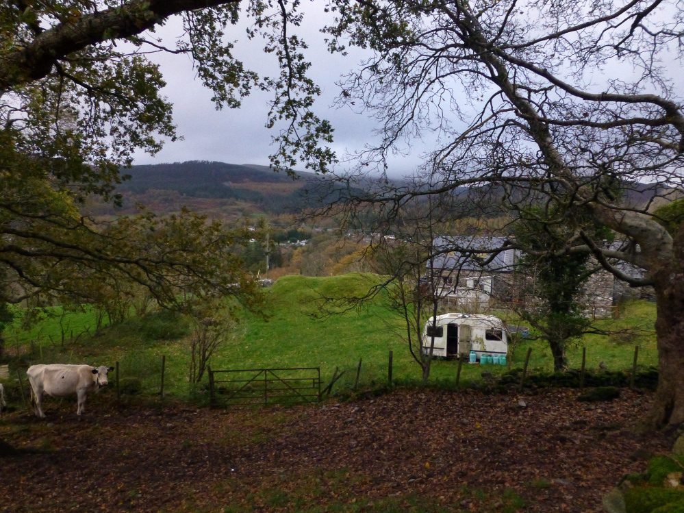
The sizable barrow sits behind a farmhouse. Seen from the nearby footpath.
Image credit: A. Brookes (7.11.2015)

The sizable barrow sits behind a farmhouse. Seen from the nearby footpath.
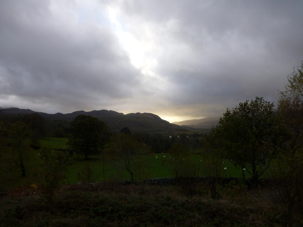
Seen from Dolgellau golf course as the sun sets above the Mawddach. The fort is on the outcroppy area to the left of centre.
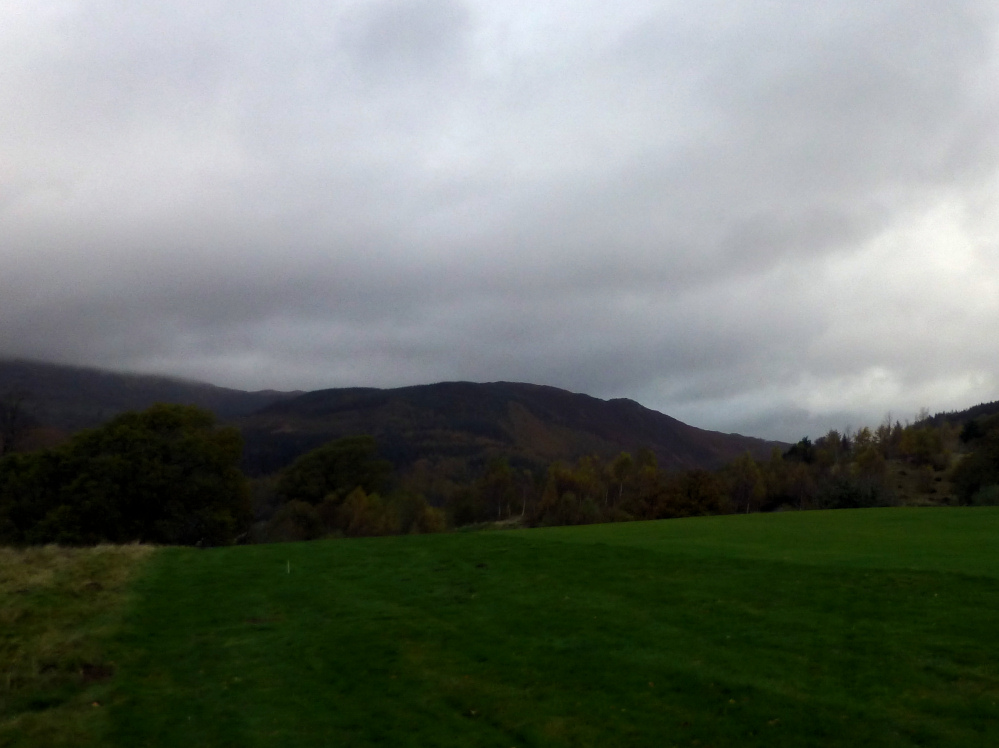
Foel Offrwm in fading light, seen from Dolgellau golf course. The lower enclosure is the sticky-outy bit.


The long barrow seen through the trees as the light begins to fail.

Autumn sunset filters through the trees of Barrow Piece Plantation, the woodland screen between the long barrow and the Cotswolds escarpment.


The northern side of the fort and the Cotswolds escarpment.

The southwestern flank, looking towards Cooper’s Edge floating above the temperature inversion.


Birdlip Camp seen from Crickley Hill, as the intervening valley fills with fog.

Zoom on the Iron Age rampart, from Barrow Wake to the south.

Crickley Hill rises above the autumn temperature inversion filling the vale of Severn.

Passing visitors give some scale to the north-eastern end of the rampart, the best preserved section.

The rampart is more discernible towards its north-eastern end.

The very reduced southern end of the rampart.

The southern corner of the fort. The single rampart runs at a right angle from where the footpath marker is, with the enclosed promontory straight ahead.

The sunken track leading to Birdlip Camp. This is probably the original approach.


Looking west along the top of the barrow.


Evidence of the technique used to break up the facade stone, using feather and tare or plug.


Looking across the least overgrown hut circle towards Sperris Quoit.

Looking across the southern cairn towards Mounts Bay.
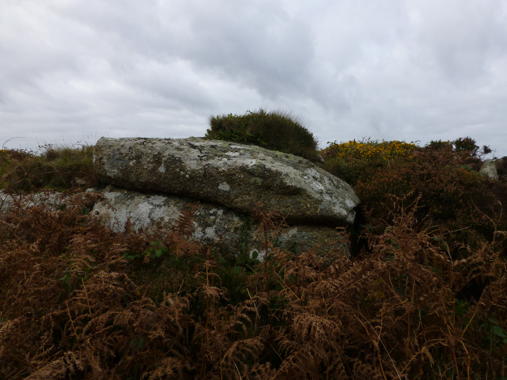
Rock outcrop built into the kerb of the southern cairn.

Side slab of the ruined cist at the centre of the southern cairn.

The excellent kerbed southern cairn. The hill on the centre skyline is Castle-an-Dinas crowned with an Iron Age hillfort.

The massive northern cairn, sadly disappearing under the thick vegetation.

The two cairns on the skyline, from Sperris Croft. The hilltop is very overgrown, any step off the “path” is a leg-shredding struggle against gorse and bramble.

Looking west from the quoit you can see Zennor Quoit, Mulfra Quoit, the ridge of Nine Maidens of Boskednan and Watch Croft.


The single upright stone remaining, with the outcrops of Sperris Croft behind.

Looking east towards Trendrine Hill, topped with a couple of fine Bronze Age cairns.

The site has been much-cleared since my last visit, revealing the full extent of the remaining stones.

The neighbouring outcrops provide this suitably inspirational proto-quoit.


St Buryan church tower behind.


Seven years since I last came here. Where does the time go?


The enigmatic arrangements of stones on the edge of the circle.
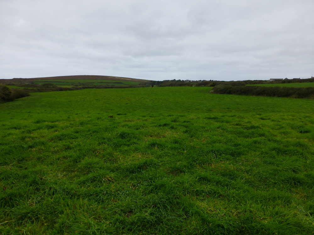
Looking from the mound back across the field to the chambered tomb.

For a second there I thought I was back down in the Cotswolds.