
From the direction of the chambered tomb.
Image credit: A. Brookes (22.10.2015)

From the direction of the chambered tomb.

I’ve been aware of this place since first opening the Modern Antiquarian, all those years ago. How has it taken me so long to come here?


The possible long barrow can be seen in the far corner of the field.

Chapel Carn Brea is the prominent hill in the background.


The bump on the skyline is Carn Galva, Ding Dong mine is over to the right, highlighting what a wonderfully compact peninsula this is.

Looking east over the northern cairn to Mount’s Bay. Not the best visibility, but St Michael’s Mount indicated.


Northern cairn, with kerbstone in the foreground and capstone buried in the centre.


Substantial kerbing on the mutilated southern cairn.

Looking south over the southern cairn. St Buryan church tower can be seen on the skyline, the sea beyond.
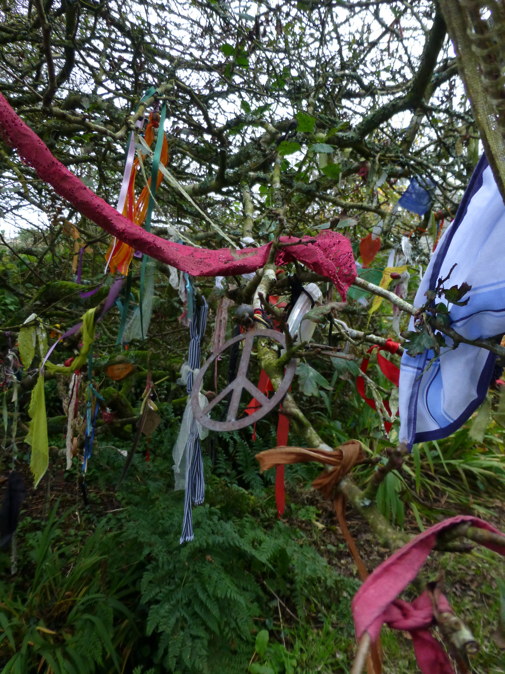
Ah, the ancient tradition of hanging rusting and non-biodegradable tat from trees near holy wells.


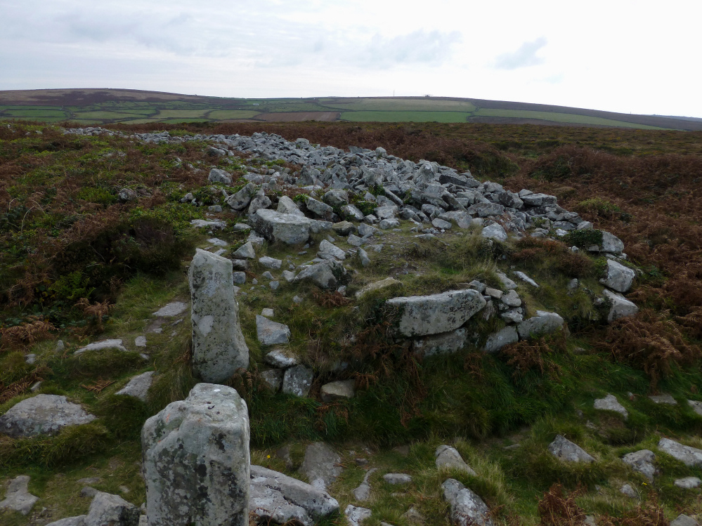
Kerbed round cairn to the NNW of the main Boskednan cairn.


Looking southeast towards Mounts Bay, with the Lizard Peninsula a dark line on the horizon.

Looking east. The prominent hill on the left is Watch Croft, the highest point in West Penwith, marked with cairns and a standing stone. Also in this landscape are Nine Maidens stone circle, Men an Tol, Men Scryfa, various barrows, Bosullow Trehyllys courtyard house settlement – it’s all crammed in here!

Carn Kenidjack and Carn Bean (with radio mast and round barrow) on the western skyline.
The immensely thick inner wall, at its entrance.

Impressive surviving courses of the massive inner wall.

The outer entrance with the inner beyond.

From Chun Castle hillfort.

The footprint of the surrounding mound is clearly defined.


Another view of the possible hut circle to the north of the defended extent.

What looked to me very much like a hut circle to the north of the ramparts. There’s no reference on either Coflein or GGAT though.

Two of the three lines of ramparts on the north of the fort.

Triple lines of ramparts on the northern side, where the natural slope is at its least steep.


Double ramparts on the southern side of the fort.

Stone blocks (sandstone) protrude from the ramparts in a few places.


The fort is sufficiently prominent to rise above the temperature inversion filling the Usk valley with cloud.


The thick morning mist started to lift on the fields to the west.


Evening shadows, looking across the monument towards Moelwyn Mawr and Moel y Gest.
