The round barrow to the NNE of the long barrow, the long grass acting as unconvincing cover for a couple of deer.
Image credit: A. Brookes (20.12.2015)

The round barrow to the NNE of the long barrow, the long grass acting as unconvincing cover for a couple of deer.

Prominent Cherhill from Easton Down to the southeast.

Round barrows at Beckhampton Firs, the eastern end of the North Down cemetery. Bishop’s Cannings 86 far left, Bishop’s Cannings 87 right.

Bishop’s Cannings 87 bowl barrow, the easternmost monument in the North Down cemetery, at Beckhampton Firs.

Happy Solstice all – yesterday’s sunset at West Kennett.

There’s a great view of the Cynon valley from rocks close to the cairn, but the monument itself is set back on the summit and fails to take advantage – something that’s true of many Bronze Age cairns in South Wales.

A modern mast intrudes into the setting now.

Looking SSW towards the Glamorgan coastline, with the Severn/Hafren and Somerset beyond.

The edge of the cist. I foolishly stuck my foot into the narrow opening and went in up to my thigh.

The cairn, looking NW. The rising ground to the left of trig pillar is Craig y Llyn (Neath).

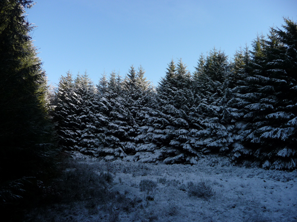
Snow-covered Twyn Bryn Bychan rises above the forest. Seen from Mynydd Merthyr to the north. There is a cairnfield in the forest as well.

I think this is probably the stone described by GGAT as an “outlier” of the northern monument, but as for the cairn/hengiform/enclosure itself, I didn’t find anything amongst the vegetation and fallen trees.


Looking over the cairn with the central slab visible. The distant hill is (I think) Merthyr Common.

Showing the thickness of the slab inside the cairn.

Shield-shaped slab inside the cairn, possibly the cover from a central cist.

Looking southeast and highlighting the substantial size of the cairn.

Looking northeast. A pointier mini-cairn has been made from rearranging some of the stones.

Looking west. The conifers form a dense screen to the south, stopping the low sunlight from hitting the cairn.

Looking northeast across the ring cairn. The bank is visible in a few places where it stands above the snow, like the brown patch in the foreground.

Looking southeast across the ring. Gwersyll hillfort and platforms cairns are in the forestry on the hill to the right.

The ring cairn is not the easiest thing to photograph. The near-edge of the bank is marked by the spikier vegetation, left of centre. From there you can follow the arc round to the left, before it curves round just short of the other little bush, right of centre, before completing the circuit over on the right edge of the image. Looking down to the Cynon valley.

Gwersyll fort is on the conifer-planted hilltop, left of centre. The Twyn Blaen-nant ring cairn is in the middle ground, beyond the row of spaced trees.

Lanscape context for the site of Carn Buarth Maen, looking ENE towards Merthyr Common. The cairn was recorded as being on the edge of the forestry, alongside the verge of the track.

Good luck to anyone trying to find Carn Buarth Maen under all this lot.

The “lost” cairn, Carn Buarth Maen, is/was here somewhere. It’s very overgrown and the snow makes identifying any stonework practically impossible.

The Cynon valley from Carn Pentyle Hir.

Biggish slab on the top of Carn Pentyle Hir. The snow made any further investigation difficult.

Looking southeast across Carn Pentyle Hir. There are further cairns and a hillfort on the ridge to the right.


There are a number of upright stones around the edge of the cairn, which might suggest a kerb, but they’re not earthfast and are just as likely to be clearance stones added later.
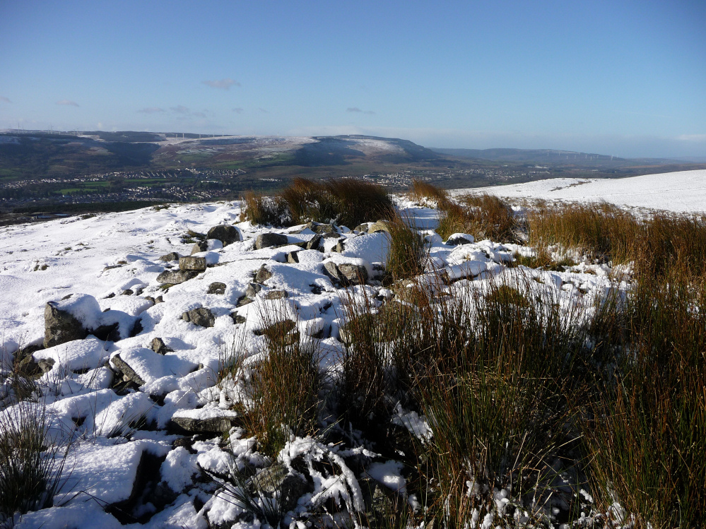
Carn Pentyle Hir, the most substantial of the cairns on Mynydd Aberdare, overlooking the Cynon valley.

And looking over Cistfaen towards Merthyr Common across the Taff valley.

Looking across Cistfaen cairn towards Rhos Gwawr on the other side of the Cynon valley.

Slab on top of Cistfaen cairn, presumably removed from the central cist that gave the cairn its name.

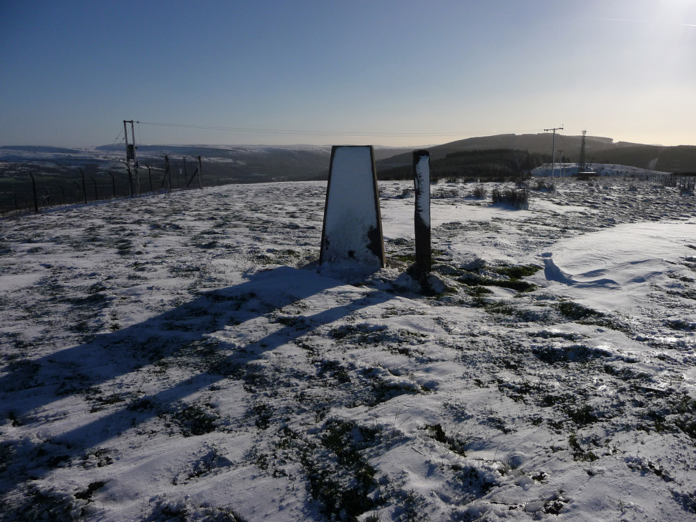
Looking down the Taff valley from Carn Tyle Hir. Further cairns are situated along the ridge on the right.
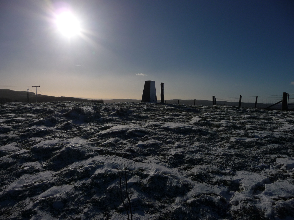
the possible Carn Tyle Hir cairn, a slight mound underneath the trig pillar.

Carn Tyle Hir is on the summit of the hill. The cairn here is uncertain, but the views across towards Fforest Fawr and the Brecon Beacons are terrific. It certainly wouldn’t be an unusual site for a Bronze Age cairn.

Hirwaun Common and the Cynon Valley, seen from Blaen-nant below Mynydd Aberdare to the east.

The barrow can be seen just beyond the gate. Craig y Castell North is on the hills beyond, the Mawddach estuary is the valley to the right where the sun is setting.
Sadly this was the last picture my camera took before it died. RIP.

If you can ignore the less than picturesque immediate surroundings, the barrow is perfectly situated on the edge of high ground looking down on the valley of the Mawddach.