Image credit: texlahoma


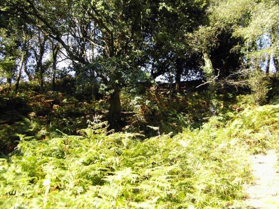
Thickthorn Down Tumuli
In the background Dorset Cursus (Start) Long Barrows
From SE
16/09/2007
“When Stuart Piggott and his team of excavators from the Royal Commissiom on Ancient Monuments began digging a neolithic period oval shaped barrow on Thickthorn down, above Gussage St Michael in the foothills of Cranborne chase, they were constantly asked if they had yet discovered the golden coffin. Not only was there no gold, however, but Piggott’s excavation in 1933 found nothing else either of what should have been the primary interments in the 5,000 year old mound.
The barrow may have been the cenotaph for a warrior who was killed elsewhere. All that was left by the original builders were a couple of chalk-cut phallic objects which were found in the lowest layer of silting in the ditch which surrounded the mound. Hundreds of years later the mound had been dug into and re-used for three other burials. Piggott and the locals were equally puzzled that it had been built to cover nothing whatever; the story of the golden coffin stuck tenaciously until the site had been completely cleared. the mound was reconstructed after the excavation had finished.”
From Mysterious Dorset by Rodney Legg.
This is very similar to the story about Cowleaze barrows near Milborne St Andrew, minus the lightning.
Details of Long Barrow on Pastscape
A Neolithic long barrow located on the top of a ridge on Thickthorn Down, circa 250 metres southeast of the southwest terminal of the Dorset Cursus (Linear 41) and less than 150 metres southwest of the longbarrow ST 91 SE 21. Listed by RCHME as Gussage St Michael 12 and by Grinsell as Gussage St Michael II. RCHME described the barrow as a mound aligned northwest-southeast, circa 100 feet long, 60 feet across and 8 feet high. The ditch, which surrounds all but the southeastern end, measured 23 feet across and up to 3 feet deep. The barrow was completely excavated in 1933 by CD Drew and Stuart Piggott, assisted by Alexander Keiller and WEV Young among others. Drew and Piggott had suggested that the mound was preceded by a turf-built mortuary structure. However, re-analysis of the published sections suggests that, like a number of other barrows on the southern English chalklands, the mound was in fact constructed in a series of bays, perhaps defined and divided by rows of hurdles. No human remains were found in a primary position either beneath the mound or within the ditch. The primary ditch fills included sherds of Early Neolithic pottery, 2 carved chalk phalli, and a quantity of animal bone, with particular concentrations occurring in the ditch terminals at the southeast end. This pattern of deposition continued into the late Neolithic, with Peterborough Ware and animal bone again focused on these terminals. 4 secondary crouched inhumations, associated with Beaker pottery, were inserted into the centre of the mound, arranged in a line along the long axis of the barrow. One was also accompanied by a bronze awl. A few Beaker sherds also came from the ditch. 3 pits beneath the mound contained chalk rubble, burnt flints and charcoal. 3 postholes were found at the open end but their date and relationship to the mound are unclear. A radiocarbon date of 3210+/-45 bc (uncalibrated) was obtained from a red deer antler pick found on the old land surface beneath the mound.
(25) Long Barrow (96451317), near Thickthorn Farm in the extreme E. of the parish, lies 280 ft. above O.D. on the almost flat summit of a Chalk ridge. The oval mound, which has been heavily ploughed, measures 110 ft. by 70 ft. and is 3 ft. high. It is aligned S.S.E.–N.N.W. There are traces of a ditch, which seems to have encircled the mound (C.U.A.P., ANC 26, 28).