Creag nam Buth viewed from the roadside.
Image credit: Les Hamilton
Creag nam Buth viewed from the roadside.

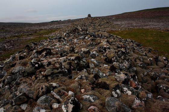
The uninspiring summit of Crean nam Buth

Mere traces of foundation stones on the southeast flank of Creag nam Buth

Creag nam Buth

A few foundations blocks at Creag nam Buth

Visited: June 25, 2018
This remnant broch, also known as Upper Suisgill, seems only to have been discovered by the OS as recently as May 1961: it is not shown on any previous historical OS map.
Carn Nam Buth is extremely dilapidated, and while it has been categorised as a ‘possible’ broch on account of size, shape and position, it may simply have been a ditched homestead or dun. It occupies the summit of an impressive knoll that has been artificially steepened, and which would have provided an easily defended position overlooking cultivable land, immediately north of the A897 Kildonan road and 180 metres east of the bridge over the Suisgill Burn.
A visit entails an easy uphill walk over grass to a largely heathery dome showing little remaining structure apart from a hint of foundation course on the southeast flank.