Ord Hill seen over the sprawling metropolis of Inverness. The viewpoint is close to Druidtemple clava cairn.
Image credit: A. Brookes (12.10.2014)
Ord Hill seen over the sprawling metropolis of Inverness. The viewpoint is close to Druidtemple clava cairn.

Ord Hill (centre) from Balloch, across the Moray Firth.

Steep-sided Ord Hill (dark, in the centre of the picture) seen across Fortrose Bay.

25/09/2012 – view from Chanonry Point towards tree covered Ord Hill with it’s summit fort

25/08/2012 – No change with the trees blocking the view but they make for a nice walk round this fort


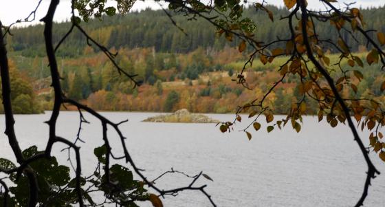
Very nice walk Forestry Commission walk, accessed by talking the Drumsmittal turning off the A9 (just north of Kessock bridge) or from the picnic area on the southbound carriageway.
One of the four hillforts with direct line of sight to Craig Phadraig hillfort, above Inverness. Heavy tree coverage means that only Knockfarrel to the west is easily visible.
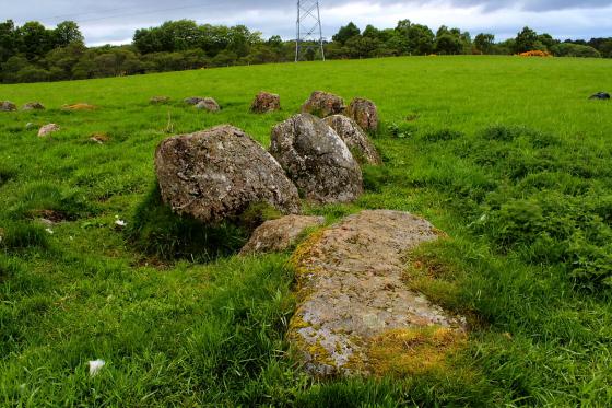
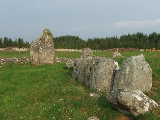
There are extensive remains of the walls of the south west side of this vitrified fort, of which I’ve posted photographs.
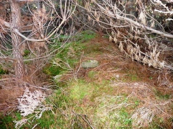
The superb views in all directions that you might expect from this site are rendered almost totally nonexistant by dense forestry.