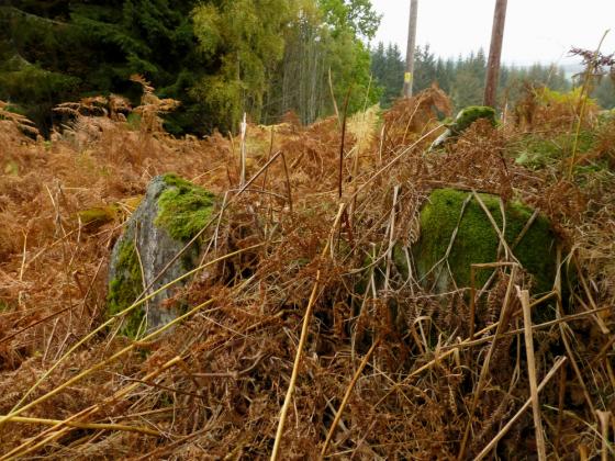
The north west top rampart, mainly filled in, just slightly round the corner is the best preserved section.
Image credit: drew/B
The north west top rampart, mainly filled in, just slightly round the corner is the best preserved section.

The rampart on the south east arc.
The best preserved part of the rampart.

The wall at the top must have been huge!

The dun from the south, two ramparts between me and the top.

The centre of the dun.

Looking south west from the bottom of the fort. (the new great unwashed posing in the background)

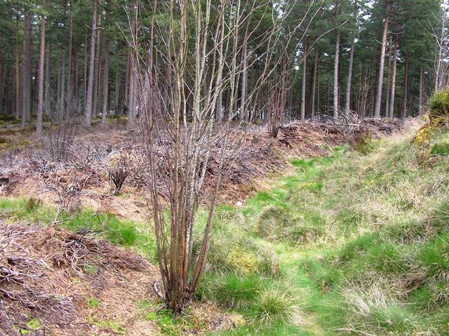
Looking north west, the ramparts are largely overgrown!

From the centre of the dun, looking north east and highest rampart.

The rampart swings west.

Impressive ramparts on the north east.

Spread wall on the south east.

Handy info.

Handy map, though you can’t really get lost.
After the stunning site at Culbokie Henge we headed east to Culbokie on the B9169 taking the first minor road that heads south(ish). Keep going until a forestry car park, this has two informative boards about the dun.
Through the woods to the north the village of Culbokie can be seen, showing how the village has grown since the Canmore photo. It seems to me that the eastern side of the Black Isle has a lot of new builds.
The dun had three ramparts which, at the moment, can be best seen on the north due to some heather burning. Fallen stonework indicates how big these defences must have been, the innermost rampart has spread to over 5m wide surrounding an area of 18m. The complete width seems very close to 60m with a clear entrance on the south west.
One of the best duns I’ve seen.
Visited 10/4/2019.
All links should be like this!