The south west wall.
Image credit: drew/A/B
The south west wall.

On top of the south east wall.

Looking towards the southern wall, beyond there is a path of sorts, not recommended for getting to the fort as going down it was bad enough.

Note the snow on the eastern defence, the previous day near Carrbridge I’d been walking in snow, later on during this hike we’d get caught up in snow showers.

Part of the natural defence on the south west.

The north east section, our approach.

From inside the fort, the top of the western rampart.

Fallen wall to the south east.

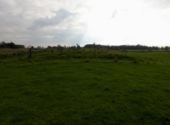
The northern rampart.

Fallen wall on the west.
It is very difficult to find places to park on the minor roads amongst the hills above Beauly. However we eventually parked between Ruisuarie and Drumindorsair. The track heading north, on this day, is a mud bath but leads to the much better forestry track, after jumping a small burn, which leads to the fort after taking the track heading north at the T junction.
As the track veers west head south west cross country to the fort, therefore enter the fort from the north east. The trees are well spaced so access to the fort is relatively, beware of fallen trees.
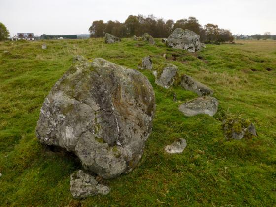
Stone defences which surround the fort are well covered in turf and heather but must have been impressive as they are well over 3m wide. Some built areas survive especially in the west. No entrance seems clear but facing stones to the south east suggest entry to me. Anybody attacking from from the south east would be sore pushed as it is very, emphasis on very, steep.
So we left the fort via this steep route back to the track. A and B managed perfectly well, whilst I perfected some forward rolls.
Visited 2/11/2019.