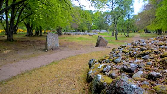
General view of Drumashie Moor, looking towards Loch Ashie. The cairns and hut circles are located in a muddy, waterlogged and overgrown landscape. Choose a dry day and take some wellies!
Image credit: A. Brookes (27.4.2012)
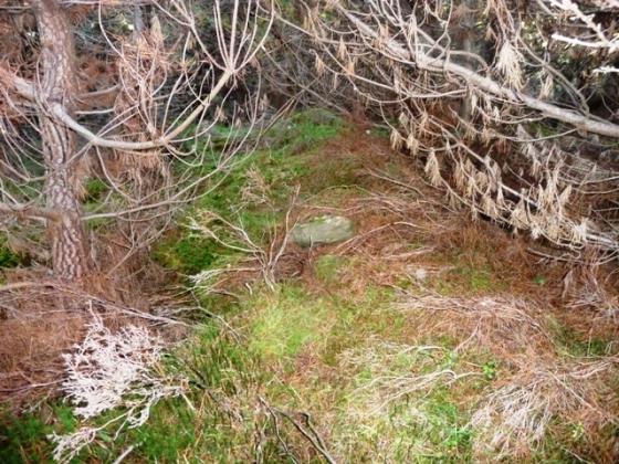
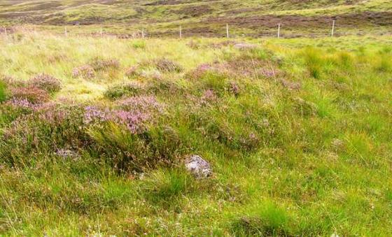
General view of Drumashie Moor, looking towards Loch Ashie. The cairns and hut circles are located in a muddy, waterlogged and overgrown landscape. Choose a dry day and take some wellies!

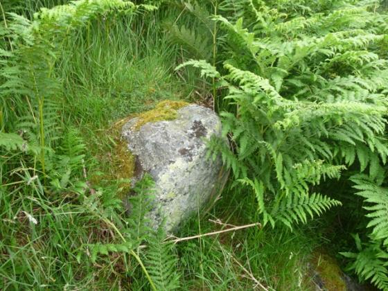
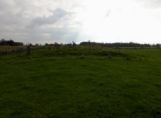
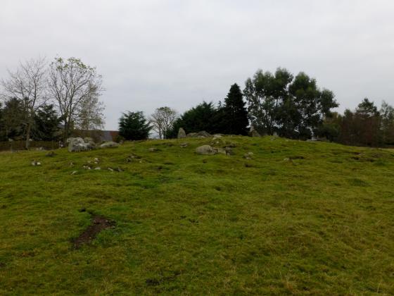
Hut circle, Drumashie Moor.
The area around Loch Ashie is the site of a reported “phantom battle” (or battles). The fullest version I have found is in the excellent “The Guide To Mysterious Loch Ness” by Geoff Holder (2007 Tempus). There appear to have been two different phantom battles:
The first was reported in newspapers in 1870-1 and was seen shortly after dawn on a May morning. In that report, the battle seems to have been contemporary, with “large bodies of men in close formation and smaller bodies of cavalry facing an attacking army marching from the east”.
The same battle was seen during the First World War and then at some time between 1950-73 by a group of picnicking Americans, who according to Geoff Holder’s book “took it to be a local pageant”.
The second battle was seen in the 1940s when a “mist-bound shepherd heard and saw a small-scale battle involving wild-looking, bearded, long-haired men in ragged clothes, armed with wooden clubs and short-bladed swords. The shepherd hid behind a rock but realised the warriors were not aware of him. After about ten minutes of combat, the mist lifted and the scene disappeared.”
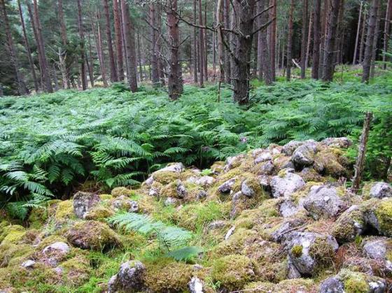
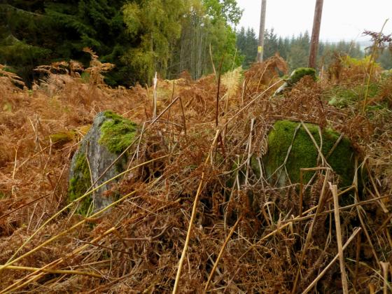
Hut circles strung out alongside General Wade’s Road across Drumashie Moor, to the NW of Loch Ashie. Canmore details:
Hut circle at NH 6365 3684
At NH 6365 3684 on a ridge in cleared woodland there is a stone-walled circular hut and an associated field system.
The hut measures c. 11.5m in diameter between the centres of a mutilated wall of indeterminate thickness. In the S is an arc of stones set on edge, uncertainly the inner or outer face. Another stone across the wall in the ENE may indicate the entrance passage, but there is no corresponding break in the wall.
A field measuring about 75.0m by 40.0m on the E side of the hut is bounded by a field wall which springs from the hut c. 1.5m N of the possible entrance and rejoins it in the S arc. The field system is comprised mainly of field walls with occasional stone clearance heaps. (Visible on OS air photograph 67.198.006)
Visited by OS (N K B) 2 Feburary 1970.
Three hut circles centred at NH 631 360
Centred at NH 631 360 on an undulating SE-facing hillside, is a settlement of three stone-walled huts (A – C) and an associated field system. (All measurements of huts are given between wall centres.)
Hut ‘A’ measures c. 11.0m in diameter with a wall spread to c. 2.0m all round. Only one outer facing stone is visible, in the S arc. The simple entrance in the E arc is mutilated.
‘B’ measures c. 13.0m NW-SE by c. 11.5m with a wall spread to c. 3.0m all round. No entrance can be seen.
‘C’ is c. 12.0m in diameter with a wall spread to c. 2.5m all round. Several outer facing stones are evident in the NE. Flanking the N side of the simple, mutilated entrance in the SE arc is a prostrate slab, possibly a portal stone, measuring 1.2m by 0.8m.
The field system is comprised mainly of ruined field walls, and occasional stone clearance heaps and lynchets, but details of cultivation plots have been obscured by previous afforestation.
Surveyed at 1:10,000. (Visible on OS air photograph 67.198.037.)
Visited by OS (N K B) 17 April 1970.
Finds of flint arrowheads and polished stone axehead have been found in the vicinity.