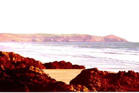
I had seen this site on the map but until now had never seen or heard anyone talk of it. Last night I was shown an arial photo and within the next couple of weeks I will go and have a look at what has been described as a low bank.
I am amazed at the amount of settlements that we have in this small corner of South East Cornwall. Is it a coincidence that many of them are on the high land above the Giants Hedge?
Articles
Sites within 20km of Ten Acre Settlement
-

Watergate Menhir
photo 3description 2 -
Barcelona Ring
description 1 -
Yearles Wood
description 2 -
Hall Rings
description 2 -

Pelynt Round Barrow Cemetery
photo 3description 7 -

Bake Rings
photo 1description 2 -

Duloe
photo 76forum 3description 16 -
Mabel Barrow
description 1 -

Bury Down
photo 7forum 1description 2 -

Giant’s Hedge
photo 4forum 1description 5 -
Carne Cist
description 1 -

Buckabarrows
photo 3description 1 -

Essa Standing Stones
photo 18description 5 -
Triffle Long Barrow
description 1 -
Paderbury Top
description 2 -

The Tristan Longstone
photo 9forum 1description 6link 2 -

Largin Castle
photo 1description 1 -

Castle Dore
photo 5description 4 -
Taphouse Barrows
description 1 -

Crowpound Menhir
photo 2description 2 -

Crowpound
photo 1description 4 -
Settlement West of St Neot
description 1 -

Trethevy Quoit
photo 111forum 11description 14link 1 -

Berry Castle
photo 2forum 1description 2 -

Mutton Down Menhir
photo 3description 2 -

Draynes Common Cairns
photo 1description 1 -

Trebinnick Mound
photo 3description 1 -

Long Tom
photo 18description 3 -

Caradon Hill (southern group)
photo 22description 1 -

Prideaux Hillfort
photo 3description 1 -

Tregarrick Tor Menhir
photo 2description 2 -

Walla Barrow
photo 4description 1 -

Letter Moor
photo 2forum 1description 2 -

Caradon Hill (northern group)
photo 20description 1 -

Carbeans Rocks Luxulyan
photo 3 -

Trewalla Cairns
photo 10description 1 -

Minions Mound
photo 9description 3 -

The Pipers (St Cleer)
photo 29description 6 -

The Hurlers
photo 137forum 3description 28link 4 -

Cadson Bury
photo 1description 1 -

Craddock Moor Circle
photo 29forum 1description 5link 1 -

Lesquite Quoit
photo 19description 7 -

Helman Tor Menhir
photo 5description 1link 1 -

Craddock Moor cairn cemetery
photo 31description 4 -

Saint’s Way Logan Stone
photo 6 -

Craddock Moor Stone Row
photo 9description 3 -

Craddock Moor Embanked Avenue
photo 2description 2 -

Rillaton Barrow
photo 23forum 2description 12 -

Cheesewring settlement
photo 2 -

Rillaton N Cairn
photo 6description 1 -

Bury Castle
photo 6description 1 -

Helman Tor
photo 19forum 1description 1 -

Craddock Moor Stone Setting
photo 3description 1 -

Carburrow Tor
photo 15description 4 -

Carburrow Quoit
photo 7description 2 -

Helman Tor Enclosure
photo 2description 2 -

Craddock Moor settlement
photo 4 -

Castle Canyke
photo 1description 3 -

Bunnings Park Earthworks
photo 3description 1 -

The Cheesewring
photo 40forum 1description 13link 2 -

Stowe’s Pound
photo 35ondemand_video 1forum 4description 4 -

Luxulyan Arse Stones
photo 14forum 2description 4 -

Brown Gelly Cairns
photo 9description 2 -

Treninnow Gatepost
photo 1description 1 -
Treninnow Stone Monument
description 1 -

Langstone Downs settlement
photo 4 -

Menear Longstone
photo 6forum 1description 2 -

Corner Quoit
photo 4description 1 -
Sharptor field system
description 2 -

Langstone Downs (Withey Brook)
photo 8description 1link 1 -

Cardinham Moor
photo 4description 1 -

Sibleyback Menhir
photo 6description 2 -

Langstone Downs Cairns
photo 24ondemand_video 1description 2 -

Newel Tor hut circles
photo 2 -

Rame Head
photo 2description 1 -

Black Head
photo 4description 2 -

Gwallon Menhir
photo 10description 6