Pitting on the edge of the woods. It’s very hard to say if this is due to flint extraction or just a farmer’s hole full of rubbish and if there was ever any evidence in the field behind this it has long been ploughed out.
Image credit: A R Cane
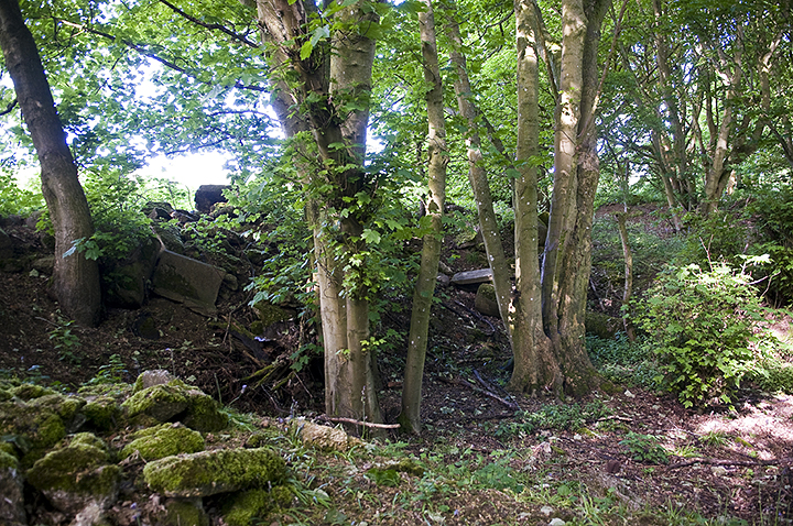
Pitting on the edge of the woods. It’s very hard to say if this is due to flint extraction or just a farmer’s hole full of rubbish and if there was ever any evidence in the field behind this it has long been ploughed out.

More disturbance in the undergrowth.

Looking back from the North West. The mines, according to the map, would have been just to the right of the photo over the crest of the hill near the tree line.


