Open Source Environment agency LIDAR
Image credit: © Environment Agency copyright and/or database right 2015.
Open Source Environment agency LIDAR


The roman bank and ditches looking south.

The inner northern bank looking east.

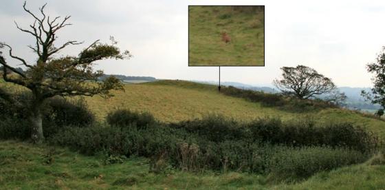
The inner east bank looking north, the depressions to the left are hut circles.

The southern banks and ditch looking east.

The eastern entrance and hornworks.

The northern range of banks and ditches.

The southern ramparts looking west.

The eastern ditches and banks, the curve follows the contour of the hill.

The original southern entrance.

The southern outer bank and ditch.

The southern extent of the roman fort looking east.

The roman ditches and bank cutting through the original iron age banks on the northern edge of Hod.

A piece of worked flint found in the out- throw from a badger’s sett on the path leading up to Hod.
This has been confirmed as an “end” scraper by the county Portable Antiquities Scheme finds liaison officer.

The roman additional fortifications looking south.

The ditch between the two east banks.


What a monster climb it is to get up here , shows how unfit I am. A beautiful clear day , Hambledon is in clear view to the west , and is so massive it looks closer than it probably is. I think because of the steep climb , there are never many people up here ,only saw one bloke walking his dog in two hours. On the way up the hill I found a piece of worked flint near a badgers sett.
[visited 27/12/05] I’ve been pondering on visiting this place for years, finally getting off my arse to see this and hambledon in the same day. So, firstly, this place is huge. I’m not surprised the Romans went to the additional hassle of cornering off part of this massive fort for their pad, the iron age ramparts would have required many hundreds to defend properly. Walking the ramparts in December is a chilly affair but the views either side of Hambledon are awesome, looking out down the side of Cranbourne Chase and onto the vast plain in front of you.
Access is for the reasonably fit, the car park is at the bottom of the hill then its up a steep slope to the fort.
In the TMA book Julian suggests you climb Hod Hill first and this is very good advice. I loved Hod Hill – but ANYTHING would be an anti-climax after Hambledon!
It’s like hearing a great band for the first time – you want to tell everyone about it and keep it a secret all at once. On a misty Thursday in October I had the whole place to myself and felt honoured to be alone in this magic kingdom.
The National Trust booklet ‘The Cerne Giant & Dorset Hill-Forts (2000) which is definately available at the Kingston Lacy house and might be available at other Dorset properties, gives the following directions to the hill fort at Hod Hill, “From Blandford Forum take the Lower Shaftesbury Road (A350) and beyond Stourpaine village turn left to Child Okeford. The Hod Hill car park is about 1km along this road on the left. The footpath from the car park follows a steep incline first through woodland and then along the edge of a field to the north-west corner of the hill-fort”.
It adds that the name ‘Hod Hill’ is Old English for hood or shelter and that ‘hill’ was added to Hod in the 18th Century. The earliest documented reference to the place name dates from 1270.
Iron Age fortifications over-run by the Romans in 44AD. Hod Hill is the largest Iron Age fort in Dorset, running to 54 acres and accommodating up to 250 roundhouses.
It also offers a rare example of a Roman fort inside an Iron Age one. The Romans’ garrison housed 600 foot soldiers and over 200 cavalry, safe within palisade and ditch defences.
Nice aerial picture, and a little bit of info.