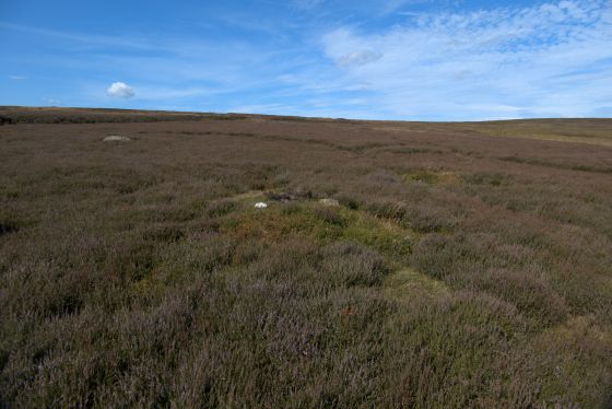
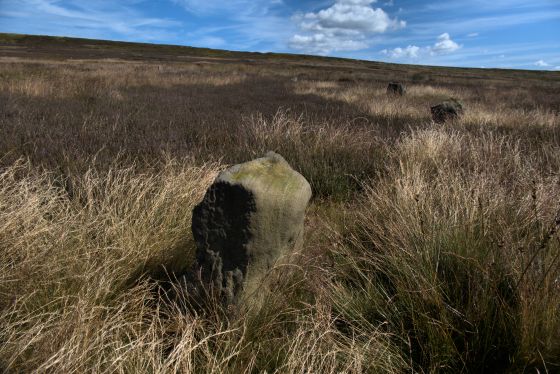
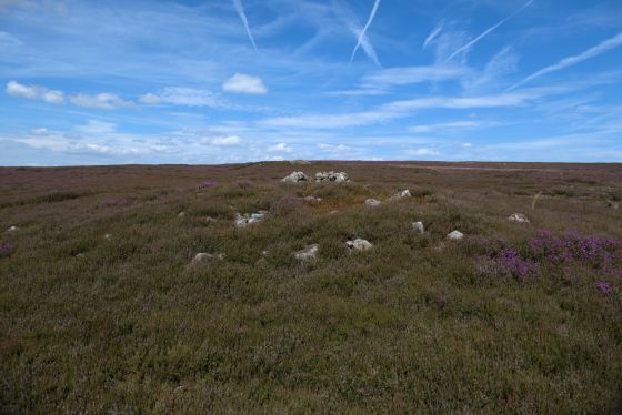
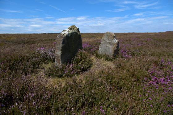
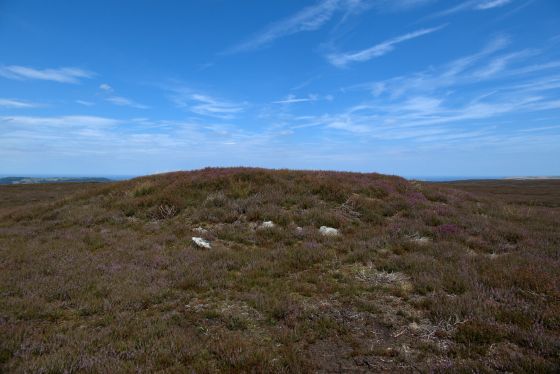
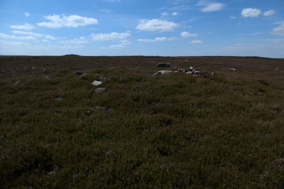
Another view of the oval shaped mound towards the northern end of the cairnfield.
Image credit: A. Brookes (29.7.2024)

Another view of the oval shaped mound towards the northern end of the cairnfield.

Towards the northern end of the cairnfield we came across this irregular shaped mound. It’s oval rather than round but the larger stones in the foreground suggested a kerb of some sort enclosing the stony mound.

Stonework and an excavation scoop in the large round cairn on the eastern side of the track.

The large round cairn on the eastern side of the track.

Large round cairn on the eastern side of the track.

Small cairn right on the west side of the track. Looking west.

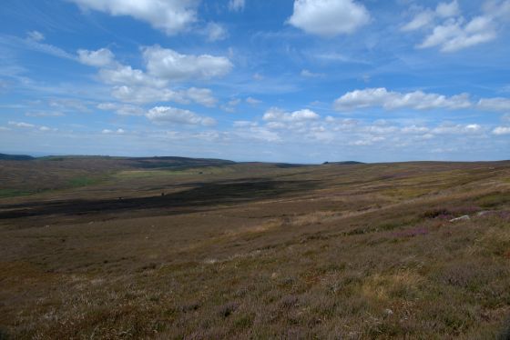
General view of the site from the southeast. The track bisects the cairnfield, which is on either side before the ridge rises up to Commondale Moor. Commondale stone circle is on the plateau to the left. The summit of Roseberry Topping can just be seen on the skyline, far left.
Information from National Heritage records:
The monument includes a prehistoric cairnfield situated on the ridge at the south end of Commondale Moor. The cairnfield comprises a group of at least 42 sub-circular mounds of stones spread over an area approximately 350m north west to south east by 120m north east to south west. The majority of the mounds are concentrated in a large group at the north of the monument with a smaller group at the south and isolated individual mounds lying in between. The cairns vary in size from 3m to 8m in diameter and are up to 1.2m high. They are constructed from small to medium sized stones and some are built around naturally occurring earthfast boulders. The smaller mounds are the result of clearing the ground of stones in order to improve it for pasture and cultivation. Some of the larger mounds are identified as burial mounds. The cairnfield lies in an area in which other prehistoric monuments are also located. These include further cairnfields and field systems, round barrows and linear boundaries. The surface of the track crossing the monument is excluded from the scheduling although the ground beneath is included.