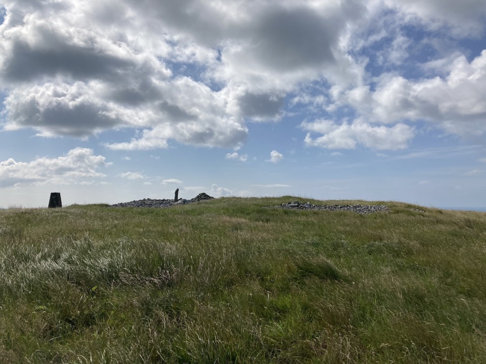
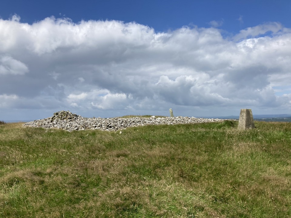
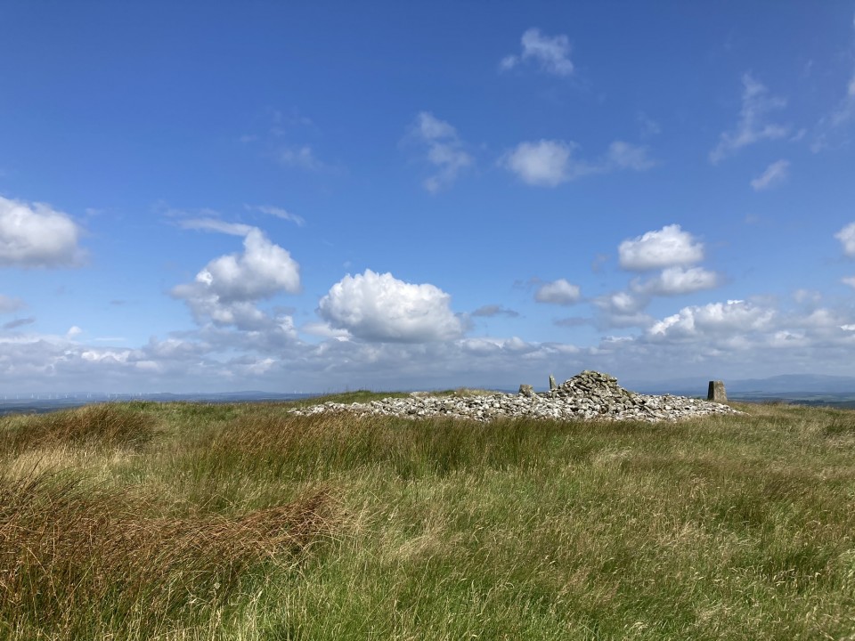
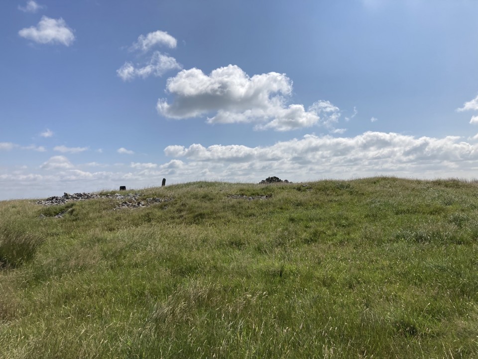
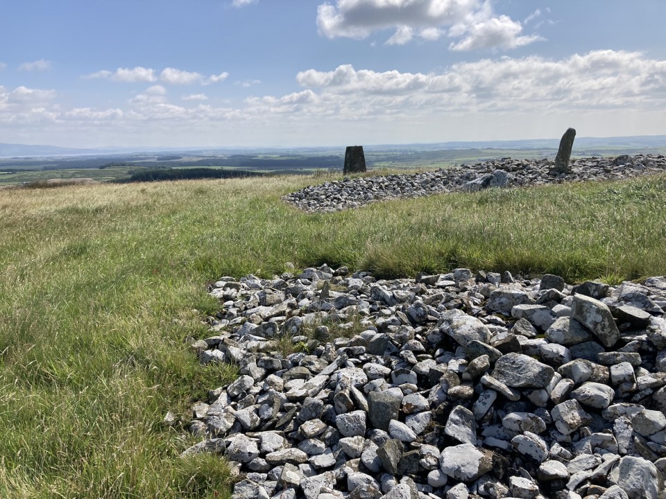
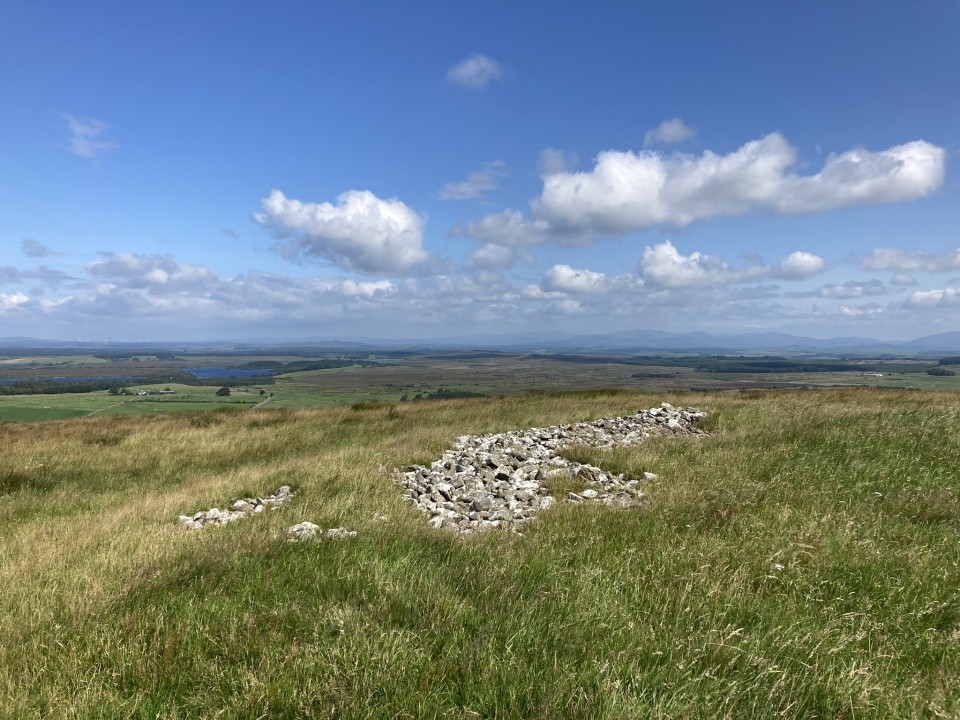
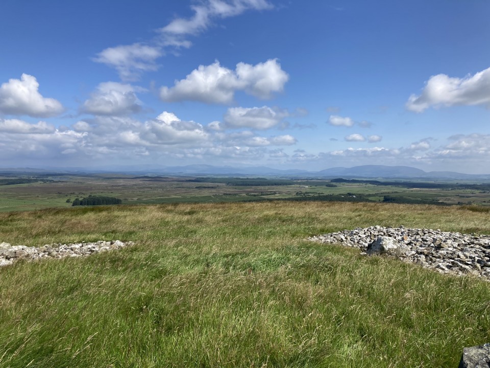
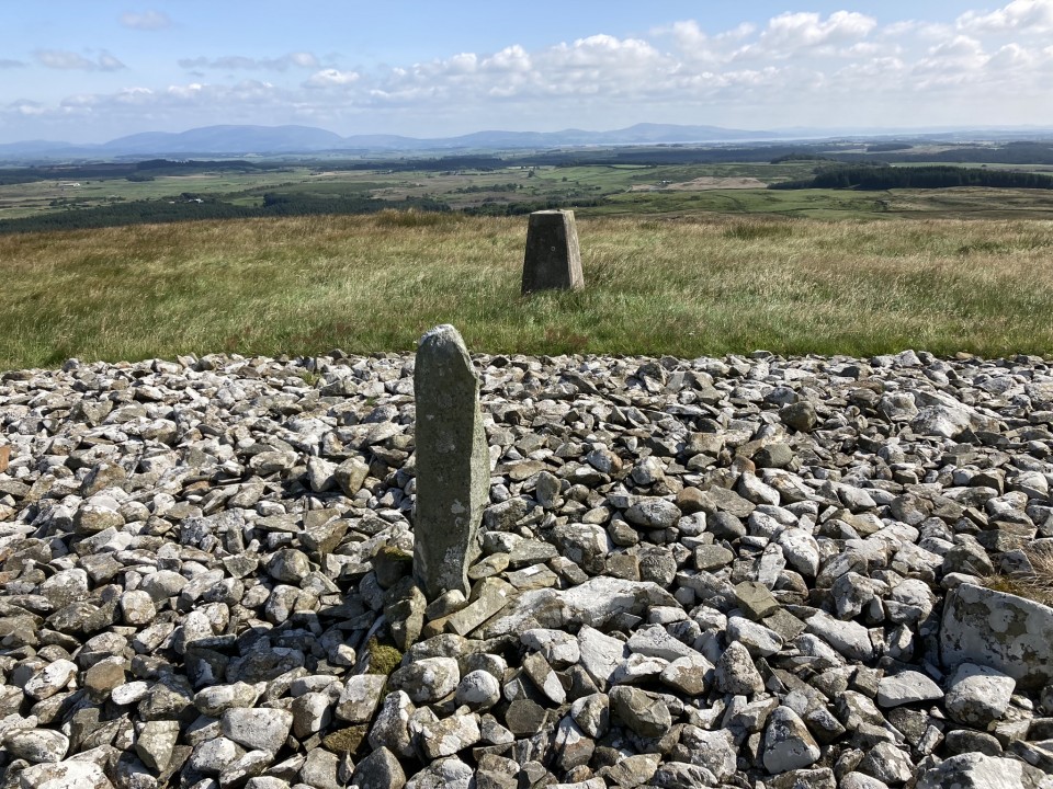
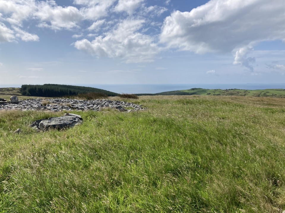
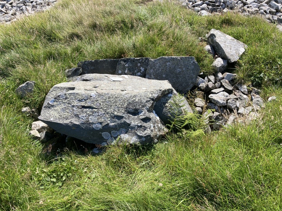
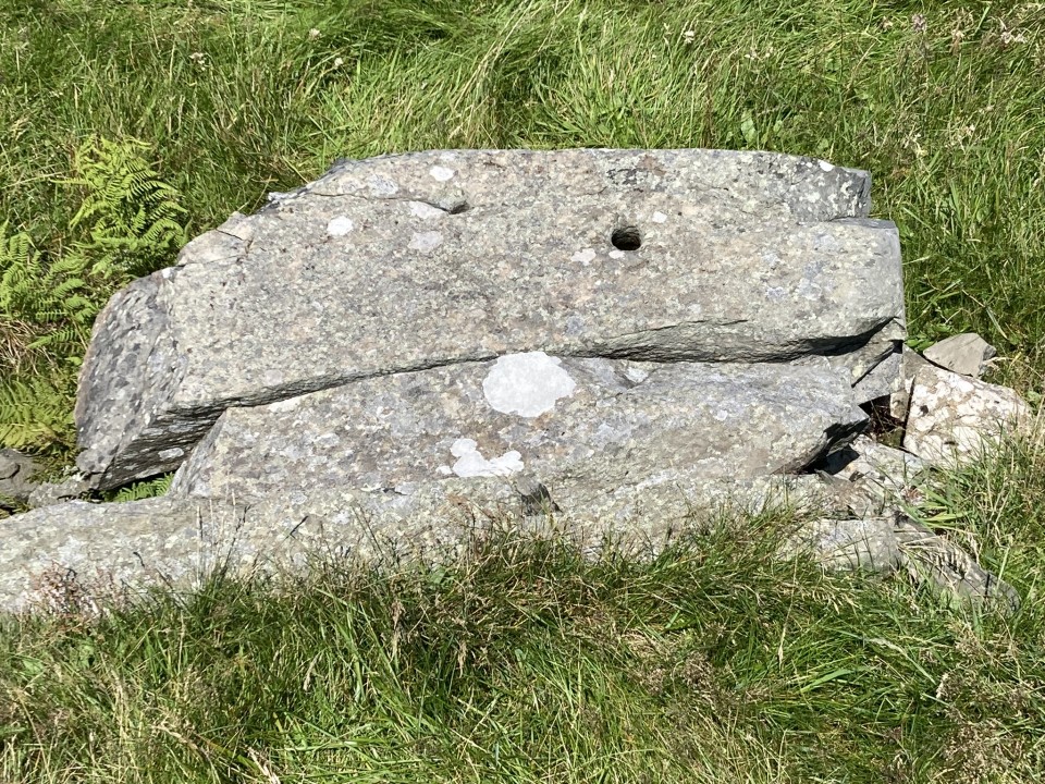
Mochrum Fell (Elrig) Cairn is located c. 1.7 miles NW of Elrig in Dumfries and Galloway. It was constructed on the summit of Mochrum Fell (Elrig) with panoramic views. The sub-circular cairn measures c. 70 feet in diameter and 3 feet high. The perimeter is delineated by a belt of small stones with gaps in the N and SW. A stone slab, c. 3 feet high, has been erected as a standing stone in the E arc and a marker cairn, c. 3 feet high, has been built on the SE perimeter. These features are presumably modern additions to the cairn. The grassy centre of the mound has been cleared of stones. Canmore ID 62897 suggests that a central cist was destroyed by a bonfire previous to 1911. There is a central rectangular depression occupied by a large split rock with two large drill holes on its upper surface. The depression measures c. 4 feet long x 3 feet wide x 1 foot deep on a NE-SW axis. A c. 3 feet long slab on the SE edge could have been a cist side slab.
Directions to Mochrum Fell (Elrig): Take the A747 Port William turn off the A75 at Glenluce. Stay on the A747 for c. 6.6 miles to an unsigned left turn onto the B7005 at NX 27136 49953. Travel on the B7005 for c. 2.2 miles to reach a minor road signed for Kirkcowan. Continue on the B7005 for c. 300 yards to a track opposite Culshabbin Schoolhouse at NX 30667 51023. There is room to park up here. Follow the track S for c. 0.5 mile. Turn right at NX 3104 5036 onto a vague path heading W through rough ground. Stay on this path heading uphill to the obvious summit of Mochrum Fell. The cairn is on the summit of Mochrum Fell. My route is viewable on Mochrum Fell (Elrig) Cairn.