East Threave Cairn viewed from N.
Image credit: Mark Johnstone
East Threave Cairn viewed from N.

East Threave Cairn viewed from E.

East Threave Cairn viewed from S.

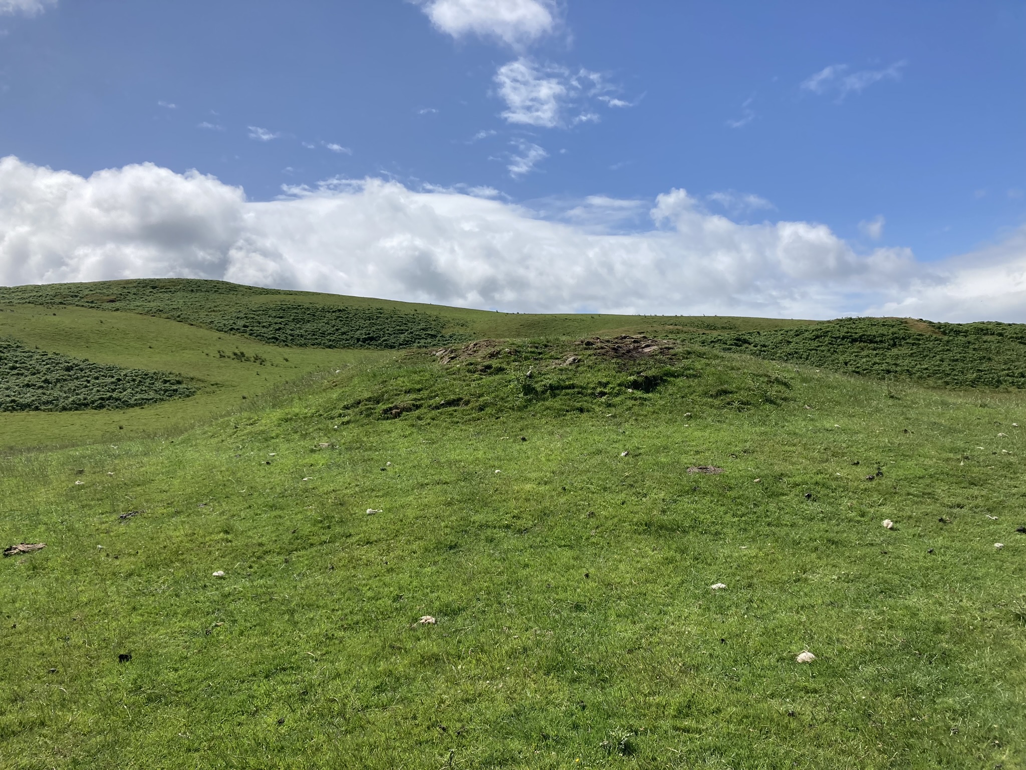
East Threave Cairn viewed from W.

Possible Kerb Stone on E Arc of East Threave Cairn.

Erosion on W Arc of the Summit of East Threave Cairn.

Central Hollow of East Threave Cairn viewed from W.
Directions to East Threave Cairn : Take the B741 Dailly road off the A77, N of Girvan. After c. 5 miles stay straight on for Maybole at the Dailly junction. Continue towards Maybole for c. 1 mile to a minor road on the left, signed to Kirkoswald. Take this single track road for c. 1.2 miles to a sharp left at a farm road with a cattle grid. After c. 0.3 miles on this farm road bear right onto a rough track. Follow this muddy pot holed track for c. 0.6 miles to a gateway on your left at NS 25887 04226. There is room to park on the right. Make your way though the gate towards East Threave Cairn in the grassy field.
Visited 02.07.23
East Threave Cairn is located in pasture land c. 2 miles NNW of Dailly in South Ayrshire. The grassy round mound is in a hollow on the edge of a moraine c. 0.5 miles ESE of East Threave farm. According to Canmore 40882 the cairn is 13m in diameter and 1.5m high. An earth set stone, possibly a kerb stone, is visible on the E Arc. There is some erosion on the W half of the summit. A central hollow c. 0.5m deep has been created by excavation on the summit of the cairn.


