
Captain’s Bridge (Drummochreen) W Hillfort viewed from Captain’s Bridge.
Image credit: Mark Johnstone
Captain’s Bridge (Drummochreen) W Hillfort viewed from Captain’s Bridge.

Defensive Ditch & Rampart on W Flank of Captain’s Bridge (Drummochreen) W Hillfort.

Defensive Rampart on W Flank of Captain’s Bridge (Drummochreen) W Hillfort.

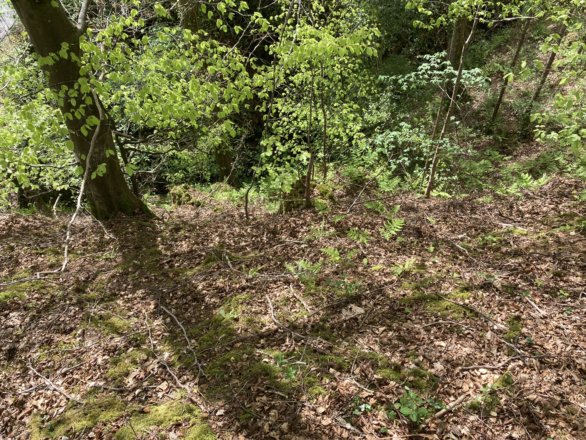
N Flank of Captain’s Bridge (Drummochreen) W Hillfort.

E Flank of Captain’s Bridge (Drummochreen) W Hillfort.
S Flank of Captain’s Bridge (Drummochreen) W Hillfort.

W Flank of Captain’s Bridge (Drummochreen) W Hillfort.

Enclosure of Captain’s Bridge (Drummochreen) W Hillfort viewed from W.
Directions to Captain’s Bridge (Drummochreen) W: Take the B741 Dailly road off the A77, N of Girvan. After c. 5 miles stay straight on for Maybole at the Dailly junction. Continue towards Maybole for c. 1.7 miles to a farm junction on the left at NS 28593 03605. Park up and walk c. 120 yards W along the dirt track to a green track on the left. Walk 5 yards along the green track. Look left to see the outer bank and ditch of the fort. Climb over the bank to enter the enclosure of Captain’s Bridge (Drummochreen) W fort.
Visited 04.05.23
Captain’s Bridge (Drummochreen) W Hillfort is located immediately W of Captain’s Bridge on the B741, c. 4 miles S of Maybole in South Ayrshire.
The E flank of the hillfort has been truncated by the construction of Captain’s Bridge, leaving a 20 foot sheer rock face. The N and S flanks are protected by natural contours. There are remains of a defensive ditch and rampart on the exposed W flank of the fort. The ditch is c. 10 feet wide and 1 foot deep, the rampart c. 5 feet high. The open enclosure, sloping gently from W to E, has a sparse population of trees. It measures c. 20 yards E-W and 18 yards N-S. There are no man-made features visible in the enclosure.
Canmore ID 40869 has further details of Captain’s Bridge (Drummochreen) W Hillfort.
Captain’s Bridge (Drummochreen) W on Google Maps


