
Howmoor Dun viewed from N.
Image credit: Mark Johnstone
Howmoor Dun viewed from N.
Howmoor Dun viewed from S.

Howmoor Dun viewed from W.

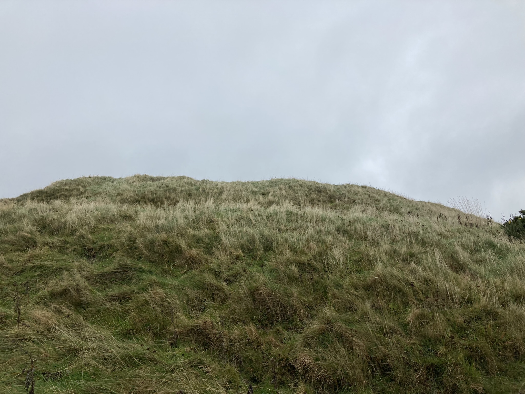
N Flank of Howmoor Dun.

E Flank of Howmoor Dun.

S Flank of Howmoor Dun.

W Flank of Howmoor Dun.

Rampart on W Arc of Howmoor Dun.

Ditch on W Arc of Howmoor Dun.

Ditch & Rampart on W Arc of Howmoor Dun viewed from E.
Gap in Rampart on SE Arc of Summit Plateau of Howmoor Dun.

Trench on SW Arc of Summit Plateau of Howmoor Dun.

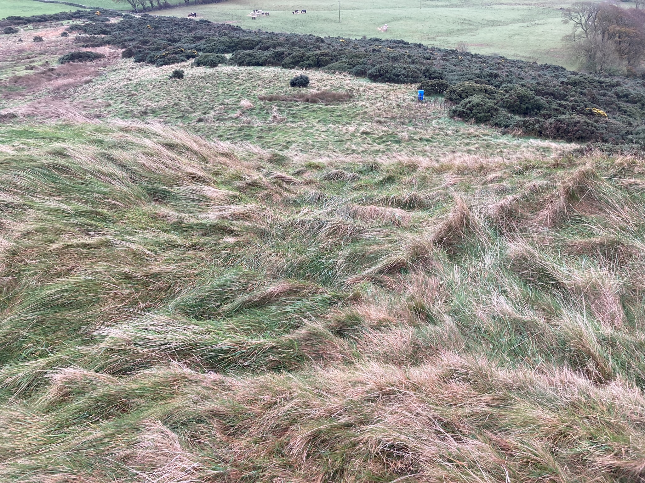
Summit Plateau of Howmoor Dun viewed from W.

Central Hollow of Howmoor Dun viewed from W.
Visited 24.10.22
Howmoor Dun is built on a natural mound c. 2 miles NW of Maybole. The dun has an oval summit plateau measuring c. 30 yards E-W & 25 yards N-S. It rises c. 20 feet above the surrounding land. It is covered in rough grass over an uneven surface. There is an intermittent earth rampart c. 2 feet high round the perimeter of the plateau. The only substantial stone on the summit is in a trench on the SW Arc of the plateau. Canmore ID 40952 attributes this to stone-robbing. In the centre of the dun there is a circular hollow c. 20 feet in diameter and 1.5 feet deep. The dun is well protected with steep flanks on all sides. On the W flank there is an additional ditch and rampart defensive system.
Directions to Howmoor Dun: Take the B7023 at the roundabout on the W edge of Maybole. After c. 0.9 miles take the right turn at Enoch Lodge House for Ayr (B7024). After c. 0.9 miles turn left onto an unsigned lane at a crossroads. After c. 150 yards there is a 3-way fork. Follow the middle lane for c. 0.5 miles to reach a lay-by for a path to Dunure. Walk along the track towards a quarry. Pass by a large cow shed. At the entrance to the quarry bear NE up a grassy slope into a field. Follow the edge of the field SW for c. 200 yards to reach Howmoor Dun. My route is viewable on Howmoor Dun (go to Links).
Howmoor Dun on OS Mapping
Howmoor Dun on Canmore


