The Modern Antiquarian
Log in
|
Register
Home
Latest Posts
Forums
Maps
Help
Browse Sites
News
Blog
Contributors
The Books
Select
-
Belgium
Denmark
Eire
France
Germany
Greece
Italy
The Netherlands
Norway
Portugal
Republic of Malta
Spain
Sweden
Switzerland
United Kingdom
Northern Ireland
County Fermanagh
Carrickmacsparrow
Court Tomb
Carrickmacsparrow (Court Tomb) on The Modern Antiquarian, the UK & Ireland's most popular megalithic community website. 6 images, plus information on many more ancient sites nearby and across the UK & Ireland.
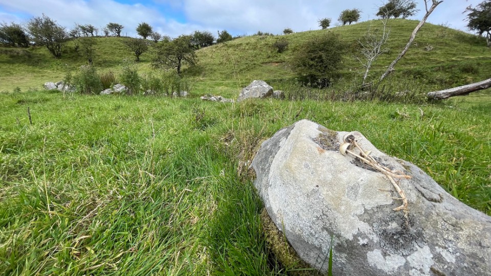
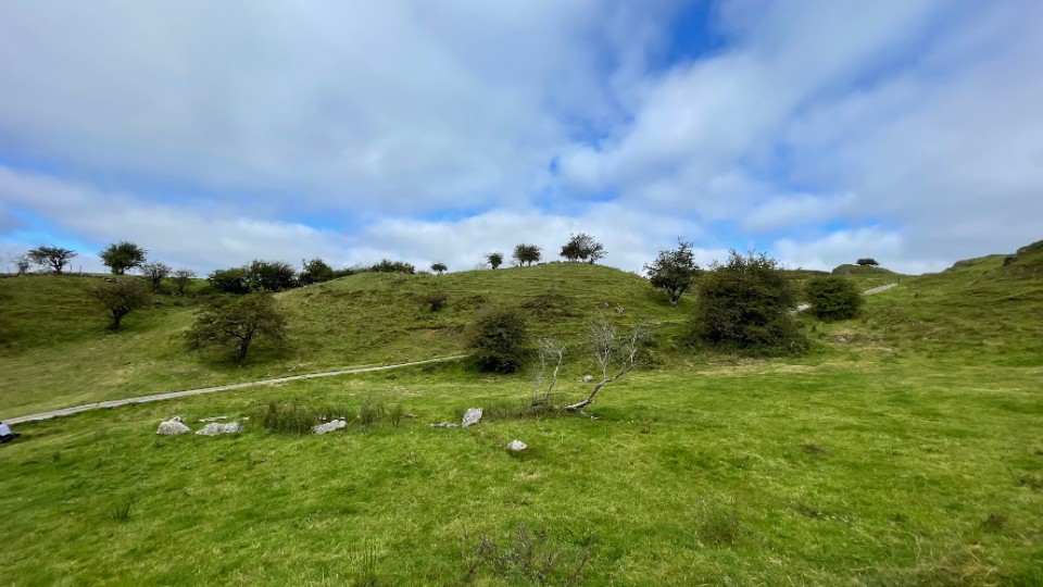
Image © ryaner
OS Ref (GB):
Latitude:
54° 18' 50.13" N
Longitude:
7° 47' 18.09" W
Added by
ryaner
Images (6)
0 discussions
Start a topic
Show |
Hide
Web searches for Carrickmacsparrow
Flickr
Google
Google Images
Megalithomania
Bing
Stone Pages
Wikipedia
Show map
(inline Google Map)
- Sites within 20 km -
-
Templenaffrin (4.15km WSW) (6 posts)
Aghanaglack (5.06km W) (16 posts)
Clyhannagh (5.96km SW) (12 posts)
Reyfad (6.14km NW) (14 posts)
Cavancarragh (6.25km WSW) (5 posts)
Rushin (6.29km WSW) (2 posts)
Cullentragh (7km SW) (5 posts)
Lanliss (7.58km SW) (12 posts)
Kilrooskagh (7.68km WSW) (5 posts)
Burren (N) (7.73km SW) (2 posts)
Legalough (7.81km SW) (2 posts)
Legalough (7.81km SW) (4 posts)
Legalough (7.81km SW) (4 posts)
Duckfield (7.87km SW) (4 posts)
Manragh Upper (7.89km SW) (0 posts)
Burren (E) (7.96km SW) (24 posts)
Kilnameel (7.99km SW) (0 posts)
Killinagh (8.17km WSW) (10 posts)
Burren (Central II) RA (8.19km SW) (4 posts)
Burren (Central II) (8.19km SW) (8 posts)
Burren (Central) (8.26km SW) (12 posts)
Burren (Central, W) (8.27km SW) (13 posts)
Burren Central (III) (8.46km SW) (3 posts)
The Rocking Stone (8.66km SW) (1 post)
Manragh Upper (8.75km SW) (1 post)
Burren (SW) RA (8.81km SW) (2 posts)
Burren (SW) (8.87km SW) (9 posts)
Garvagh (9.84km SW) (4 posts)
Moneygashel (10.17km SW) (6 posts)
Moneygashel (10.31km SW) (7 posts)
The Shaking Stone (10.34km W) (0 posts)
Mullaghboy (10.44km SW) (3 posts)
Garvagh (10.57km SW) (0 posts)
Legland (11.5km WNW) (0 posts)
Greenan (11.79km SE) (9 posts)
The Shannon Pot (12.26km SW) (3 posts)
Gortaloughan (12.55km NE) (2 posts)
Brockagh Lower (12.78km WSW) (2 posts)
Drumgormly (14.95km WNW) (0 posts)
Breagho (15.12km ENE) (0 posts)
Dog Little (15.46km WNW) (0 posts)
Killadeas (15.49km NNE) (8 posts)
Cloghcor (15.67km E) (0 posts)
Corracloona (16.43km W) (12 posts)
Cavancarragh (17.03km ENE) (3 posts)
Mountdrum (17.05km ENE) (6 posts)
Mountdrum (17.13km ENE) (7 posts)
Mullyknock or Topped Mountain (17.2km ENE) (5 posts)
Coolbuck (17.41km ENE) (7 posts)
Cavantillycormick (17.43km ENE) (9 posts)
Coolbuck (17.46km ENE) (4 posts)
Coolbuck (17.49km ENE) (0 posts)
Topped Mountain (18.12km ENE) (5 posts)
Aghnacally (18.31km SE) (9 posts)
Cloghtogle (18.31km ENE) (4 posts)
Carrickbrannan (18.36km SW) (5 posts)
Ballyreagh (19.26km ENE) (6 posts)
Carrigeengeare (19.93km WSW) (2 posts)
- Add -
-
Add news
Add an image
Add fieldnotes
Add folklore
Add miscellaneous
Add a link
-
Add a site
Add a nearby facility
Add an alternative name/spelling
Images
(click to view fullsize)
Add an image
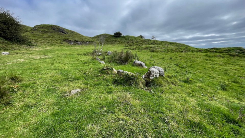
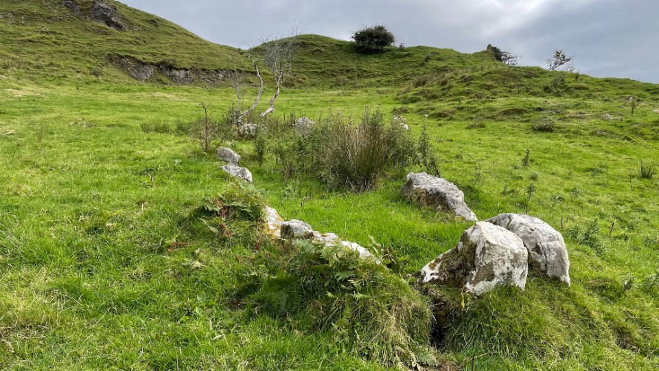
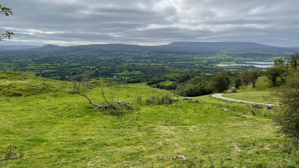
 Image © ryaner
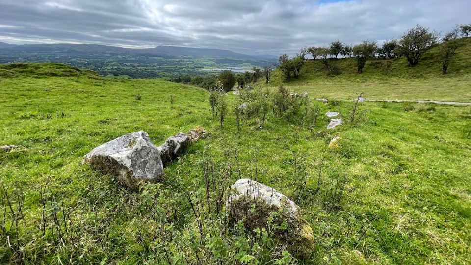