The Modern Antiquarian
Log in
|
Register
Home
Latest Posts
Forums
Maps
Help
Browse Sites
News
Blog
Contributors
The Books
Select
-
Belgium
Denmark
Eire
France
Germany
Greece
Italy
The Netherlands
Norway
Portugal
Republic of Malta
Spain
Sweden
Switzerland
United Kingdom
Northern Ireland
County Londonderry
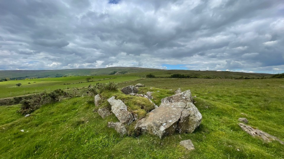
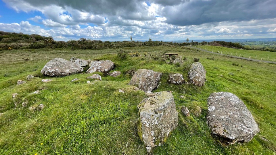
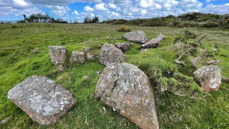
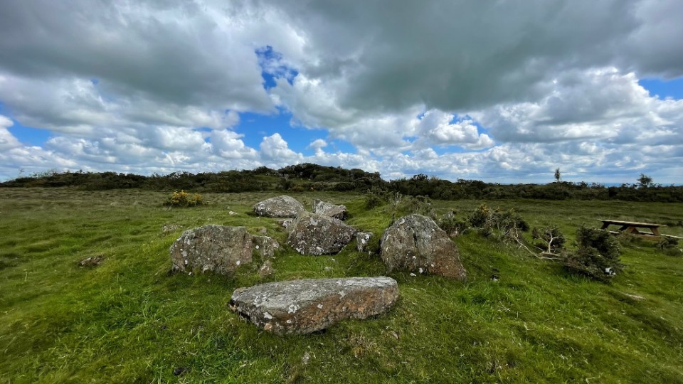
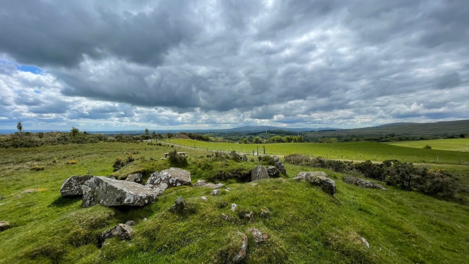
Slaghtneill
Wedge Tomb
Slaghtneill (Wedge Tomb) on The Modern Antiquarian, the UK & Ireland's most popular megalithic community website. 5 images, plus information on many more ancient sites nearby and across the UK & Ireland.
Image © ryaner
OS Ref (GB):
Latitude:
54° 53' 45.08" N
Longitude:
6° 43' 0.11" W
Added by
ryaner
Images (5)
0 discussions
Start a topic
Show |
Hide
Web searches for Slaghtneill
Flickr
Google
Google Images
Megalithomania
Bing
Stone Pages
Wikipedia
Show map
(inline Google Map)
- Sites within 20 km -
-
Knockoneill (2.52km NNW) (13 posts)
Tamnyrankin (4.29km NNE) (10 posts)
Carn (9.03km W) (7 posts)
Boviel (9.55km W) (5 posts)
Moneydig (12.26km NE) (3 posts)
Kilhoyle (12.36km WNW) (5 posts)
Castledawson (16.01km ESE) (1 post)
Crevolea (17.42km N) (0 posts)
Tullybrick (18.23km SSW) (7 posts)
Ballybriest (now in An Creagán) (18.46km SSW) (5 posts)
Ballybriest Court (18.52km SSW) (16 posts)
Ballybriest Wedge (18.61km SSW) (13 posts)
Craigs Lower (18.71km ENE) (9 posts)
Goles (19.07km WSW) (7 posts)
Craigs (19.15km ENE) (5 posts)
- Add -
-
Add news
Add an image
Add fieldnotes
Add folklore
Add miscellaneous
Add a link
-
Add a site
Add a nearby facility
Add an alternative name/spelling
Images
(click to view fullsize)
Add an image
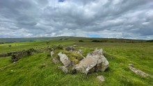 Image © ryaner