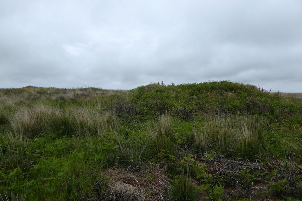
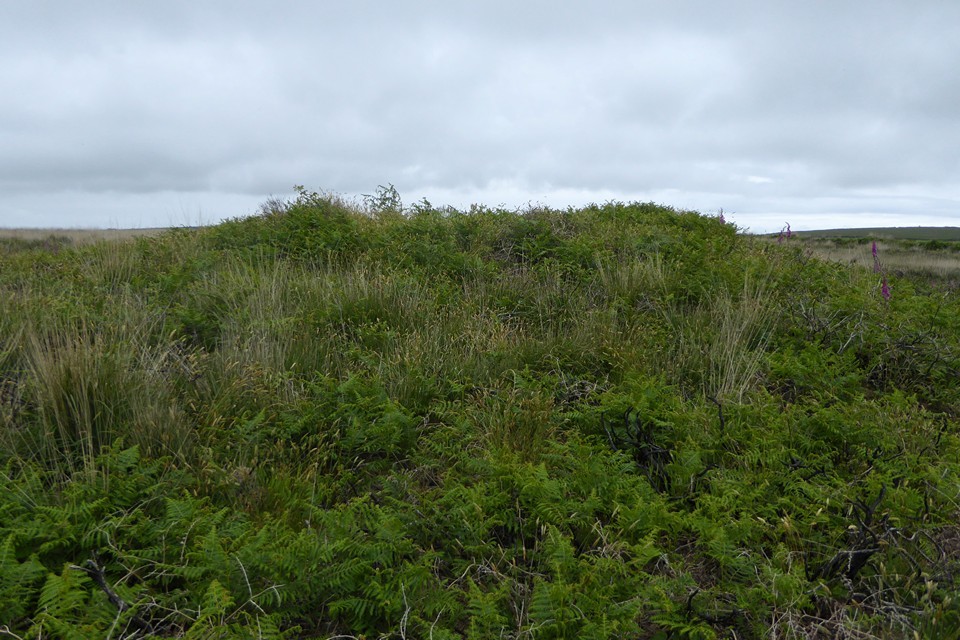
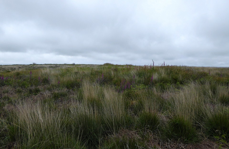
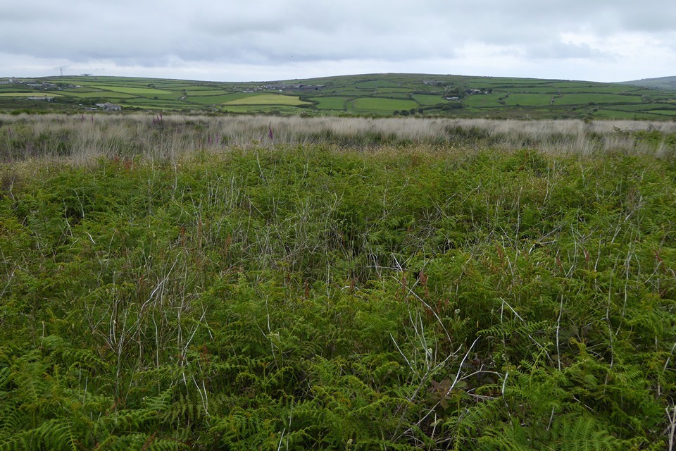
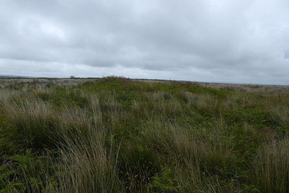
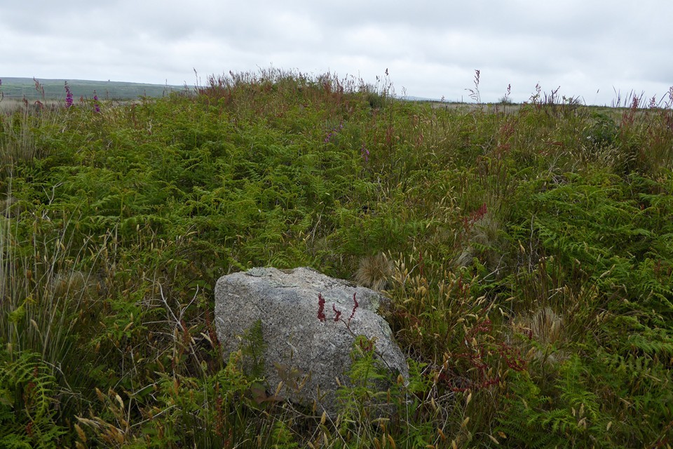
A linear group of three barrows on Bosvenning Common. Extracts from the Cornwall & Scilly HER, WNW-ESE:
WNW barrow (SW 4138 3130)
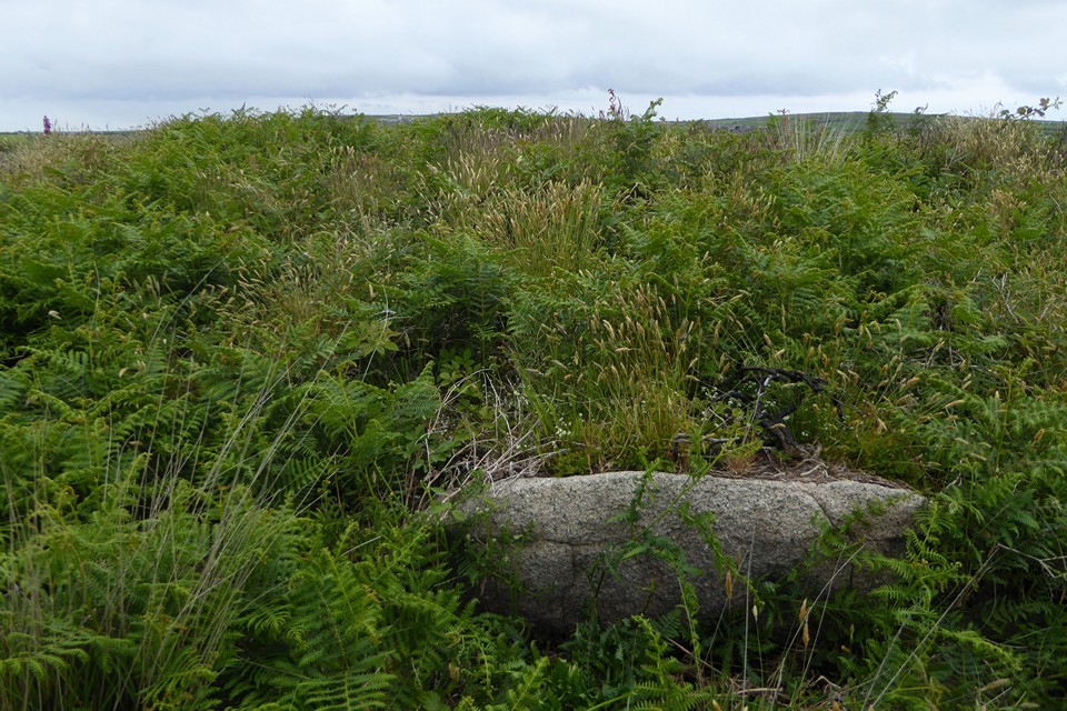
The site was partially excavated by WC Borlase in 1862. Extant remains comprise an overgrown earth and granite mound, overgrown with heather and bracken, standing 1.4m high, into which an excavation pit, 0.8m deep was dug, presumably by Borlase, in 1862. Part of a cist was found at the bottom of the pit. No further details. The monument is included in the Schedule. The barrow is visible on aerial photographs as a low earth and stone mound and was plotted as part of the NMP.
Central barrow (SW 4141 3129)
It is unclear whether the site was excavated by WC Borlase though others in this group clearly were. Surveyed by the OS in 1961 who remark on its slightly different constructional make up from neighbouring sites 16171.2 and 16171.1. A fact recorded by Russell who used it as a ring of stones around a natural boulder. Extant remains comprise an overgrown mound of stone and granite rubble 12m in diameter and 0.8m high. A pit dug south of the centre of the site, 0.6m deep, dismissed as a cist, indicates disturbance and two large stones visible on the mound's surface on its south-west side may be part of a kerb. The monument is included in the Schedule. The barrow is visible on aerial photographs as a low earth and stone mound and was plotted as part of the NMP.
ESE barrow (SW 4143 3127)
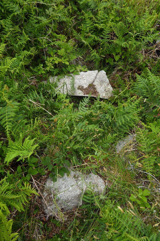
The site was excavated by WC Borlase in 1862 which accounts for its mutilated condition. Extant remains comprise an overgrown earth and granite mound 1.4m high and 10m in diameter. A single granite stone set on edge in situ is probably the remains of a cist. The OS in 1961 noted more recent displacement of stone though the CAU survey adds no further details. The monument is included in the Schedule. The barrow is visible on aerial photographs as a low earth and stone mound and was plotted as part of the NMP.


 Posted by thesweetcheat