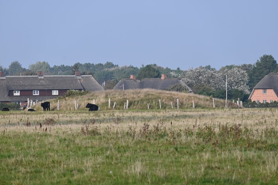
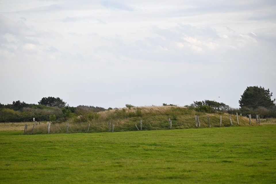
At the lighthouse of Kampen lies a group of burial mounds. One of them is the Gonnenhoog, which lies northeast of the lighthouse. The other two groups are the Brönshooger group and the Jüdelhooger group, which are southwest and southeast of the lighthouse.
To get to the burial mounds, coming from Wenningstedt on the L52, turn right at the traffic lights in Kampen into the Braderuper Weg. After 180 m, just after you pass the Restaurant Club Rotes Kliff on the left side, turn right into Alte Dorfstraße. After about 100 m turn half left into the Brönshooger Weg. The roads leads directly to the lighthouse of Kampen, however about 300 m before you reach the lighthouse, the road is closed to public traffic. Gonnenhoog lies about 150 m after the road is closed, to the left 75 m in a field.