
The peat layer is at the base of the dunes. The Bronze Age cairn was located above, before its rescue and relocation to the visitor’s centre.
Image credit: A. Brookes (10.9.2019)
The peat layer is at the base of the dunes. The Bronze Age cairn was located above, before its rescue and relocation to the visitor’s centre.
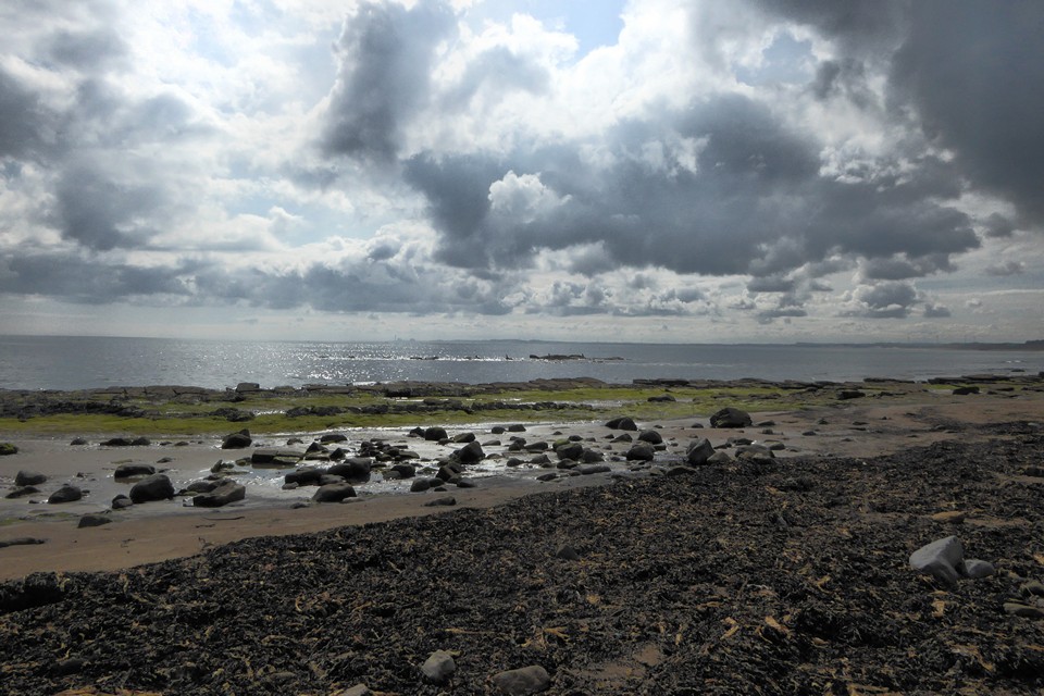
Looking across Druridge Bay towards Lynemouth from Low Hauxley. This scene would have been filled with woodland in the Mesolithic,

Another fallen tree in the peat layer.

Tree trunk protruding from the ancient peat layer at the base of the Low Hauxley dunes.
Brief Statement on Rescue Recording of an Eroding InterTidal Peat Bed Containing Prehistoric Worked Timber and Human and Animal Footprints
February 2011
Staff from Archaeological Research Services Ltd undertook recording of an inter-tidal peat deposit at Low Hauxley, Northumberland, between the 21st and 23rd December 2010. The work comprised the cleaning (using hand tools) and planning of an area of footprints of both animal and human origin, along with extensive digital photography of the deposit and its context.


