This gate is the starting point for a visit to the broch. Thing’s Va can just be discerned as a tiny hump on the horizon, about a kilometre away.

This gate is the starting point for a visit to the broch. Thing’s Va can just be discerned as a tiny hump on the horizon, about a kilometre away.

Almost there! This is the view of Thing’s Va’s grassy mound from the approach path.

This image is a composite of six phtographs across the summit of Thing’s Va broch.

The entrance passage at Thing’s Va, heavily overgrown but still discernable.

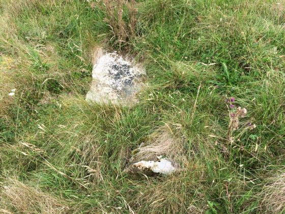
This, presumably, is the ‘probable guard cell’ reported by Canmore.

This is a probable section of heavily overgrown inner wall-face at Thing’s Va
Possible evidence of a medieval Norse parliament meeting place may have been found at an archaeological site in the Highlands.
Visited: June 18, 2019
Though highly impressive when viewed from the air, Thing’s Va broch has few redeeming features when visited on the ground.
Aerial view of Thing’s Va (Image: Caithness Broch Project)
Thing’s Va sits atop a low hill just west of Thurso, as illustrated above.
The best starting point for a visit is a lay-by on the A836 at OS: ND 0867 6923.
Walk down the road (towards Thurso) for about 400 metres, and a few metres farther than the gated loop of old road, you will find a gate to a field. Inside the field, a good path heads southwest up the field through mainly grassy terrain with a sprinkling of gorse. You can just make out the broch on the horizon ahead.
If you count the drystane field dykes to your left as you pass them, Thing’s Va is on the right just after the 4th dyke. The walking distance is a shade over a kilometre.
Sadly, there is absolutely nothing particularly impressive on the ground at this site these days. The broch rises as a grassy mound within a recently emplaced surrounding fence. Annoyingly, although there is a gate for visitors, whoever installed it drilled the posthole for the securing bolt somewhat on the small side: I couldn’t budge the bolt and had to clamber over the gate.
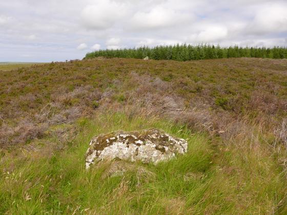
The entrance passage to the broch, heavily overgrown, is still discernable, and there are a few sections where fragmentary masonry protrudes. Also visible is what could be a guard cell as a deep pit in the turf, and here and there can be seen short sections of walling.
Canmore provides considerable information concerning features that have been observed in the past, but with this recent (2007) caveat: “A recent survey showed that most of the features described by the Commission are not now visible”.
Historical Note
Thing’s Va broch is a drystone, hollow-walled structure built by the Middle Iron Age inhabitants of Caithness. Much later, some time after the mid 9th century CE, the remains of the broch were used as a meeting place by Norse incomers.
The name “Thing” comes from an Old Norse word meaning a “meeting place”, and variants are found in place names elsewhere, such as Tingwell in Shetland and Dingwall in Ross & Cromarty (source: The Public Information Board at the site of Thing’s Va).
More about the Iron Age Broch.


