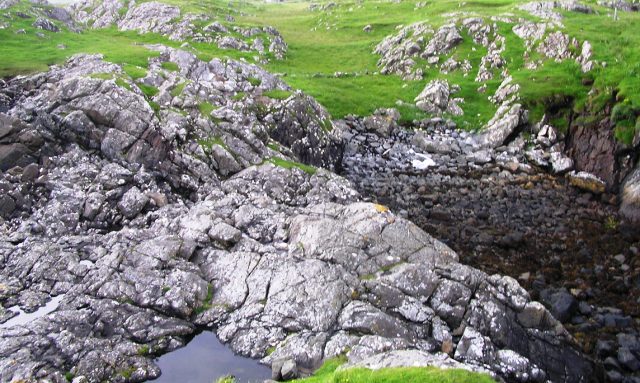
To get to the mainland proper you must scramble over these rocks and then crossover on the dyke. The grass is a boggy nightmare.
Image credit: drew/amj
To get to the mainland proper you must scramble over these rocks and then crossover on the dyke. The grass is a boggy nightmare.

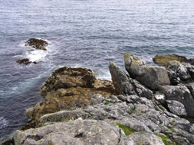
Taken from down near the sea in the south west.

South west part of the dun.

The top of the dun.

Eastern defences, nature helping.

From the north.
the western tip of the dun.

Looking south.
After surviving the mud spreads of Dun Innisgall we travelled further along the coastal road to the township of Strond. We parked at the first cattle and looked towards the Atlantic. A and B headed to Borrisdale (a good move) whilst I headed west.
This dun is the smallest I’ve seen and I believe that nobody could have lived here, this was the place were the last stand would have taken place. From the cattle grid head west and downhill until a fence. The mysterious mounds associated with the area are much in evidence. Jump the fence, cross a grassy section (boggy in bits), head slightly south and a small cliff face is reached. Opposite this cliff is the dun.
I climbed down and crossed the slippery rocks, reached the other side and climbed up into the dun. Finding a safe path up is difficult so take care.
Not much of the dun remains as erosion has washed a lot of it away. As mentioned before this wouldn’t have been very big anyway as I discovered when I made it to westernmost point of the dun. What is left of the defensive wall is on the east side of the dun. Other parts of the wall can be spotted in the sea and on the slippery rocks used to reach the dun.
Truly brilliant site, truly brilliant scenery and truly scary as the tide was rushing in and started to cover my exit route.
As with all of these places that we think of isolated nowadays back in the Iron Age (and before) maybe more people lived here. There are a lot of sites in this area and near to this dun some cup marks have been found, indeed this coast line has evidence of several rock art sites. Certainly in prehistoric times this small part of Harris seems to have been well populated.
Visited 30/7/2017.