
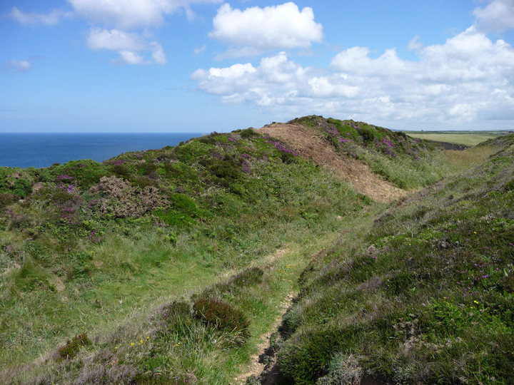
Looking towards St Agnes Beacon.
Image credit: A. Brookes (17.6.2019)
Looking towards St Agnes Beacon.


The inner bank, looking WSW towards The Knavocks and West Penwith.


GF gives scale to the earthworks.

The inner ditch.

Looking across the banks.

Open Source Environment agency LIDAR
Inner rampart and ditch.

The inner rampart, now guarding nothing but thin air. Looking east – St Agnes Beacon is on the skyline (centre).

The west end of the ramparts falls away over a sheer cliff.

Crane Islands, seen from the inner rampart. The spoil at the foot of the cliff was part of the collapsed fort.

Looking westwards along the inner ditch.

The (inland) annexe is very overgrown with gorse and brambles. Looking across to the fort ramparts.

Crane Castle (what’s left of it) perches at the top of the cliff, slightly left of centre. The ramparts can be seen. The landslip at the foot of the cliff shows how precarious this site’s continued existence is.
Very little remains of this cliff fort which looks like it’s gonna completely disappear in the next couple of generations. what would have been a headland defended by a ditch across the narrow neck has now disappeared; a few yards of the defensive ditch, cut into the crumbly cliff rab still 4 feet deep,august 2001.


