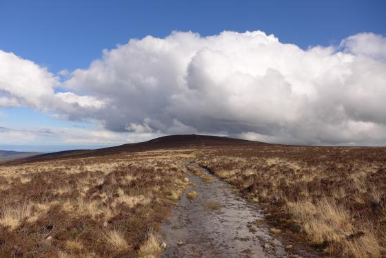
Details of barrow on Pastscape
SS 804433 (approx) Exmoor 27, Longcombe Burrow shown on map of 1819 (in Authy 2). If correctly marked it is on the Exmoor/Oare boundary, but Exmoor 11 (SS 84 SW 19) is not far away. (1)
In the perambulation of September 1815 the boundary is described as proceeding in “an easterly direction along several Boundary Stones through a place called Lannicombe Burrows (SS 84 SW 46) to a Boundary Stone in the centre of a Burrow called Long Comb Burrow” (2). The barrow is shown on a map of 1816 (in Authy 3) on the Oare Common boundary about half-way between Badgworthy Water and Toms Hill Corner but MacDermot (2) states that it has “entirely vanished”. The material was probably used during construction of the forest wall (a wall around the boundary of the former Exmoor Forest was constructed in 1820-4). (2-3)


