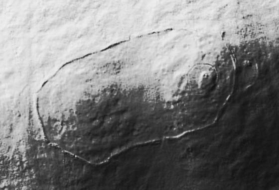
To the north of the Wooler to Kirknewton road, in a lay-by with the bulk of Yeavering Bell to the south, stands the Gefrin monument. The plaque tells us this was the site of Gefrin, but we look upon an empty field. Some sheep graze peacefully. Yet this is the site of, probably, one of the most important archaeological discoveries of the century.
St. Bede in his Historia Ecclesiastica gives the township of Ad Gefrin its only real historical reference. Even then he is vague as to its actual location, saying only that it stands near to the river Glen in what is now known as the Glendale area. He links Ad Gefrin with the baptisms performed in the Glen by the missionary Paulinus in 627AD. In the thirteen centuries that have passed since, according to Bede, the palace was abandoned and with no visible evidence for its existence, Ad Gefrin became a place of legend.
In 1949 Dr. J.K.St.Joseph, Curator in Aerial Photography at Cambridge University was looking for previously unknown Roman military sites in northern England. A severe drought made conditions ideal for aerial archaeology. As he flew over the Glendale area he noticed, and photographed, an impressive series of crop marks in an otherwise innocent field. More crop marks were seen further north near Milfield. In time a full aerial survey was made.
Between 1953 and 1962 a detailed archaeological excavation to the site was undertaken led by Brian Hope-Taylor of Cambridge University. Although marks of buildings were observed to both the north and south of the present day road it was in the field to the north of the road where attention was focussed. Here the land rises and forms a gravel whaleback which would have stood clear of the marshy terrain present in the area when Gefrin was conceived. This area would have been the natural through route for travelers at the time. Today, with efficient field drainage, the Milfield. plane is a lot dryer than it once was. The excavations revealed a complex of great halls or palaces, some over eighty five feet in length, of timber construction and built to a very high standard. Ancillary buildings such as kitchens, a weaving shed and buildings with probable religious significance were identified.
A large timber theatre or outdoor assembly building is one of the remarkable features of the site. The rotund nature of this structure has sparked the speculative and fanciful Arthurian link to Gefrin.
Although there is evidence of older, Neolithic, remains on the site (burials and traces of a stone circle) it is thought work on Gefrin could have started in around 600AD. The site was in use for over 150 years and there were distinct phases of construction, the theatre, for example, being extended at one point from six to nine rows of seats, thereby doubling it’s capacity. Some of the halls were modified and some demolished entirely.