Slightly odd one. Coflein has the following, which conjures up visions of a shapely, slender stone, not to mention a gauntlet thrown down to the TMAer:
Standing stone on Garn Ddu. It is c 1m high tapering to a point at the apex, and is set in a stone-lined socket. No trace of the stone could be found(GGAT). At time of 2003 field visit stone not located.
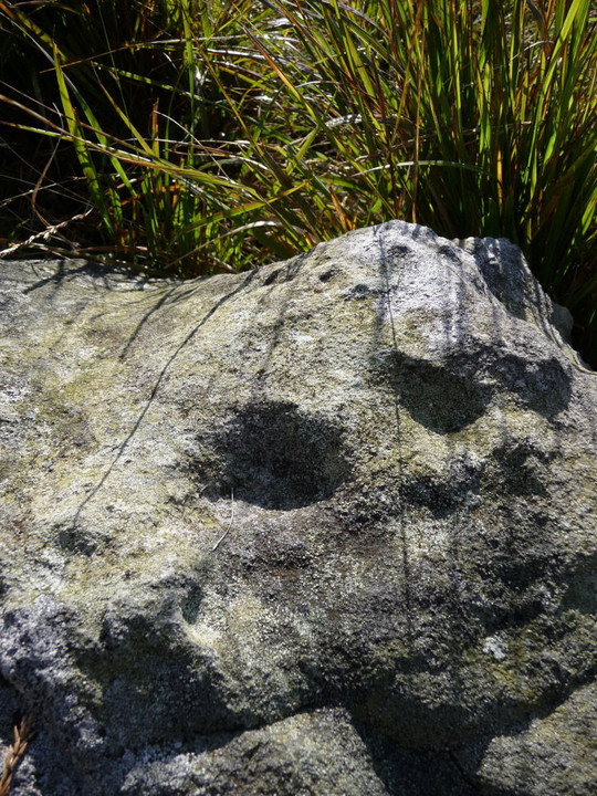
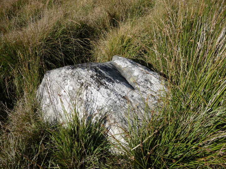
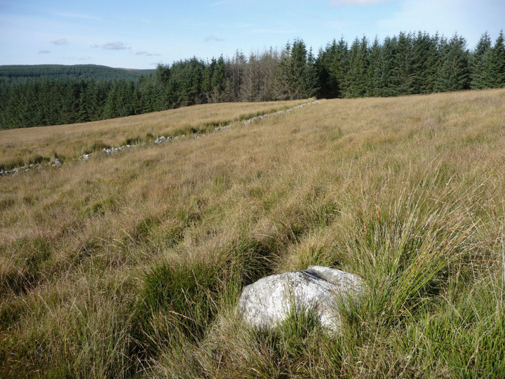
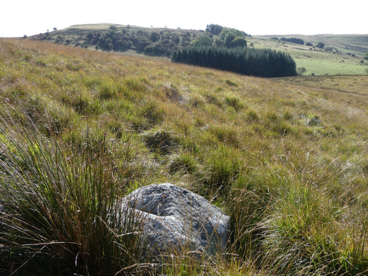
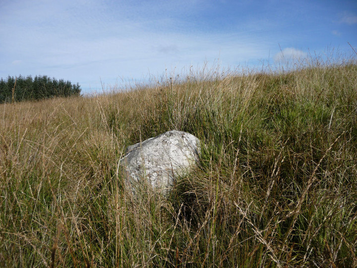
The realiity is rather less shapely. It is about 1m (bit generous) and it does taper, but it's more a squat block.
Directions
There are two ways to find the stone, one makes for an easier find, but is more difficult to negotiate, the other is easier to negotiate but less likely to find the stone:
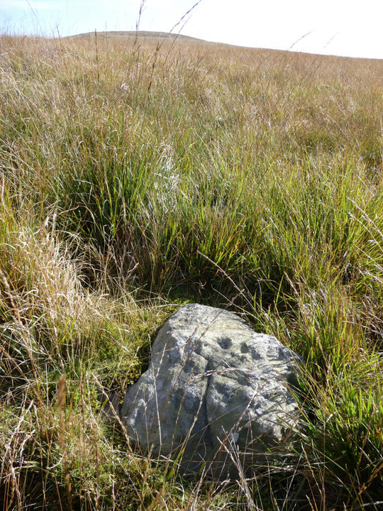
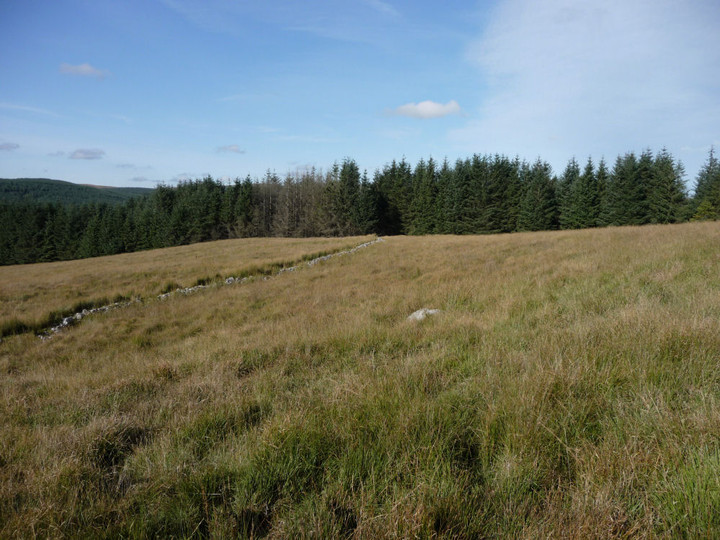
Route 1 (wet): Follow the bridleway up from Llywn-on Reservoir past Fedw (look out for modern standing stones in the garden). Carry on along the path as it climbs through the woods. When you come out of the wood, into open moor (access land), follow the fence-line SSW. The ground is very boggy and marshy, wear decent boots! You will come to a corner where a very low drystone wall heads away east, curving away from a straighter fence to leave a little elongated "D" shape enclosure between the two. Walk alongside (or on) the wall, keeping an eye on the grassy slope rising to your left. When you get almost to the end of the wall, the stone is revealed as a low spot of grey-white in the surrounding reedy grass.
Route 2 (Drier): Follow the bridleway up to the access land as Route 1. Rather than turning SSW, carry on along the bridleway. After a maybe 100 yards, head due south down the slopes to your right. (If you reach a ford on the bridleway, you've gone too far). You may see a small stone amongst the grass halfway down the slope, with what looks a little like a cupmark in its top. If you find this, you're going the right way. Keep going straight down the slope, before you reach the drystone wall at the bottom, you should see the top of the stone protruding from the grass.
NB: I have had to assume that this is the stone, on the basis that (a) it's precisely where the Coflein blue dot is (b) it tapers and (c) there aren't any other stones in that area at all.

 Posted by thesweetcheat