Just to give you an idea of size. Outcrop bearing 8 year old human male.
Image credit: Howburn Digger
Just to give you an idea of size. Outcrop bearing 8 year old human male.

One of the larger cups.


Looking south.
The Air Cleuch burn tumbles down a steep sided gully in the hills above the Dalveen Pass. The Pass is an ancient routeway up from Galloway a few miles below. The rocky outcrop bears many cup marks and juts out above the right bank of the burn, about a hundred yards upstream from the wee bridge on the A702. The views are spectacular. The site looks across at the Daer/ Clyde watermeeting where the farm of Crookedstane has a standing stone. Together, the hills of Upper Clydesdale and the Moffat Hills mark the watersheds of the three main rivers in Southern Scotland, the Nith, the Tweed and the Clyde.
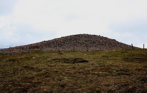
A couple of hundred yards above the outcrop, the Roman Road crosses the burn on its way from the lonely fortlet at Durisdeer to the fort at Crawford. Between the cupped outcrop and the A702 are three rather curious flat topped mounds. There are also earthworks of an ancient settlement a few hundred yards to the west and beyond that a ruined medieval bastlehouse. The hillside is littered with platform settlements, cairnfields and Bronze Age funerary sites. In the hills just a mile to the north, Lead, Gold and Silver were mined throughout the ages. This area is now pretty much deserted save for a few bored sheep, but it was a very busy place for us humans in the past.
Summer or winter, the site really has a desolate, empty feel and despite the nearby M74’s best efforts, the silence of the empty hills wins over with peace, perfect peace.