01/08/2021 – Good to be out of the trees and see the top in sight. Approached from west.
01/08/2021 – Good to be out of the trees and see the top in sight. Approached from west.

The eastern most part of the wall.

Part of the south west defences, natural rock and wall.

The western side of the south wall.

Looking north, Knock Hill in the far distance, towards Nether Dumeath (RSC).

The front door.

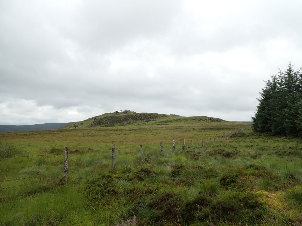
Looking from south west to north east.

Remnants of the southern wall.

Tree almost looks as old as the fort.

Looking north west

The southern defences.

From the centre of the fort looking north.

Looking south east onto the River Deveron.

Northern defences.

A plateau before the main fort, eastern side.

From the Corinacy cairn.

From near Aswanley Cairn.

Taken from Cairnhead.

Half way up from the road to the east.

Looking North.

Looking West.

The forts interior.


A glacerial looking down onto the River Deveron.

First line of natural defences.

Taken from the Glass to Cabrach road.
Historic Environment Scotland ruled that plans for a wind farm were ‘too advanced’ to change the designation of the Craig Dorney hill fort site to one of ‘national importance, despite new evidence.
More info :
aberdeenlive.news/news/aberdeen-news/no-protection-historic-aberdeenshire-hill-9174705
One of my favourite sites, always a privilege to visit. Aberdeen Live have even pinched one my photographs!!!
01/08/2021 – It’s a bob up and down from the road for this one really but we were making a day of it though so approached from the west. Starting from Glacks of Balloch, we headed up and round Garbet Hill to Craig Watch and then east through the trees to Craig Dorney. We were here to walk a few tops and not for the hillfort. Just a nice bonus. Bits of ditch visible here and there. Fence on top was a little tricky. Of more interest is the craggy lump the hillfort sits on. Its prominent position gives it a fine view up and down the River Deveron. I was very taken with it. To the SW are the rocks of the Craig Luie and looking NE, the wonderful lumps and bumps of Craigs of Succoth. They are nice visible sections of the Succoth-brown Hill Intrusion, bedrock formed approximately 444 to 485 million years ago. This intrusion is believed to extend to a depth of 2.5 km.
Nice website for the rocks under our feet. The 3D is fun and also good for grid references and spot heights. mapapps.bgs.ac.uk/geologyofbritain3d/
After bombing up the road after todays disaster I headed first for Craig Dorney Hillfort, this the second visit in much better weather conditions. The walk from the road isn’t far but after recent snow there was still some tricky places – snow/bogs.
There are three lines of natural defences, the original architects weren’t stupid, with steep rocks covering the north, south and west. The remains of a rampart and an ancient path encircling the hill can still be seen. Also still standing guard is a massive glacerial, keeping an eager eye on the valley below. To be fair there is good all round views. As the Who sang ‘You can see for miles and miles and miles.........‘
Re-visited 10/4/2010.
Leave the A920 Huntly to Dufftown road at the Haugh of Glass sign post and follow this road till it’s end. Turn left at the war memorial and travel south for about 3 miles going past the Nether Dumeath RSC. The fort/hill are easily spotted thanks to it’s unusual shape.
There is no path to the top so beware of hidden holes and bogs. At the top a cairn has been built in the midst of the fort. All that remains are ditches and one or two bits of dyke. The view from the top gives spectacular views up and down the Deveron valley. Best visited on a sunny day!
Visited 23/07/09.
Ah, Craig Dorney. I feel sure he was in that programme with whatshisface? No, Rhiannon, the name means ‘Stony Hill’, from Creag: hill and Dornach: stony, as you can read amongst many other local etymological gems in Celtic Place-Names in Aberdeenshire by John Milne (1912).
Some more aerial images.


