
On the eastern edge of the fort.
Image credit: A. Brookes (12.5.2018)
On the eastern edge of the fort.

Northeastern rampart.
Northeastern rampart above a steep slope.


The northern entrance, flanked by impressive earthworks.

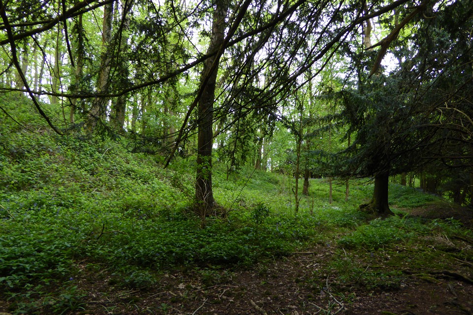
The beautiful wooded interior of the hillfort.

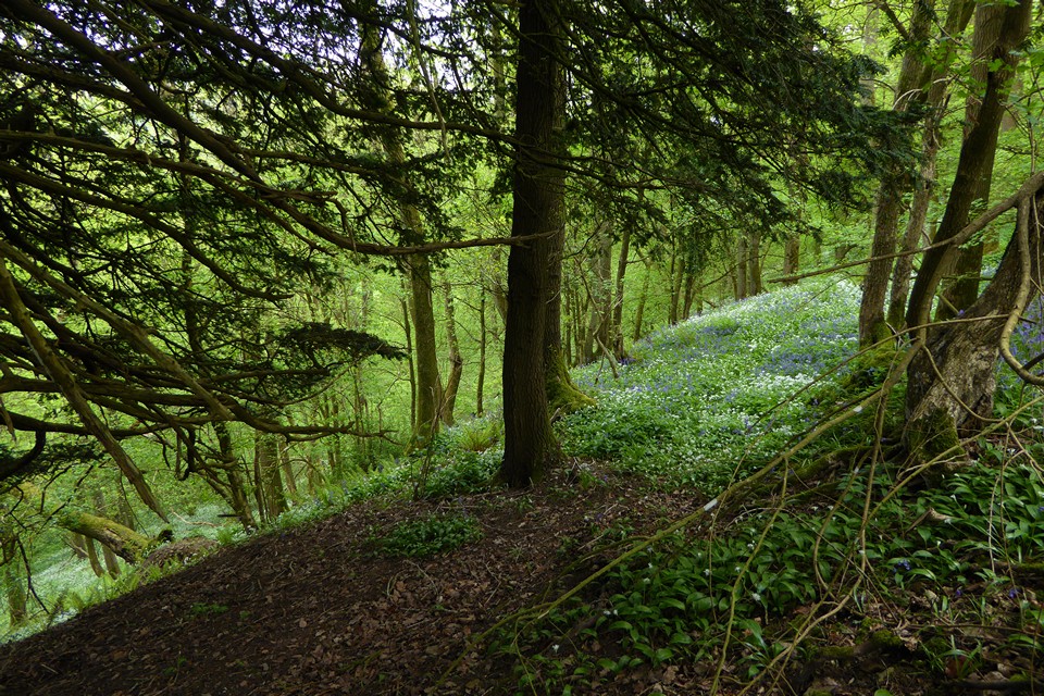
The ditch or berm between the inner and outer ramparts.
Inner rampart (left), berm and outer rampart (right) on the southwestern side of the fort.

Southwestern outer rampart.

The southern entrance.

Cherry Hill is the hill to the left of the church spire. Seen across Fownhope from the southeast, about halfway between Cherry Hill and the nearest hillfort neighbour Capler Camp.
Visited 29.8.11
Boy, did I take the hard way to access this site!
Directions: Take the B4224 north through the village of Fownhope and take the minor road on the right, at the junction, opposite the pub. A short way along this road you will see a public footpath sign on your left. This footpath takes you through the middle of the Hillfort.
Unfortunately I missed the sign post and ended up parking where the trees end to the east of the site. I figured, incorrectly, that all I would need to do is walk up the field and cut across, uphill, to the Hillfort. Sounds good in theory – not in practice!
Firstly, the fence between the field and the trees was head height and triple barbed wire! There would have been no way over this but luckily a tree had fallen and lay across the top of the fence. I clambered up onto the tree and (Tarzan like) balanced my way along the trunk, trying not to fall into the head height brambles either side of me!
Secondly, I was confronted by the near vertical side of the tree covered slope. This was not going to be easy. I literally had to clamber on all fours, pulling myself up from tree root to tree root. You would have to be mad to approach the Hillfort from this direction (say nothing’s best!)
I disturbed a bird of prey on the way up and watched it glide off into the distance – a wonderful sight.
Eventually I somehow managed to reach the top of the hill and was greeted by a woodland scene with little visible signs of any ‘lumps or bumps’. The whole of the site being covered in trees / bushes etc.
I then spotted the path running through the Hillfort and decided to follow it south, back towards the way I should have come in the first place!
When I reached the southern defences I was able to make out quite easily the single ditch/rampart running around the site. From the bottom of the ditch the bank was about 3 metres high – fairly well preserved. I was too knackered to check on the defences to the west and north. There was clearly no need for eastern defences!!
It was then a simple task of following the path down the hill, through the wooden ‘gate’ and out onto the road.
This site is actually easy to access as long as:
A – you are physically able to follow a steep muddy path
B – you don’t try to come the way I did!
From “Herefordshire Register of Countryside Treasures” (1981 H&WCC):
“Cherryhill Iron-age Camp, Fownhope
The hill fort is about 5.5 acres (2.2 ha.) in area and covered by trees and brambles. A prominent N entrance with large ramparts. The E and N sides are defended by natural scarp. Defences on the other sides are defended by a double scarp with wideberm and traces of outer rampart.
Location
3/4 mile NW of Fownhope Parish Church up long footpath.”


