Borrowston Broch as seen from the road.
Image credit: Les Hamilton
Borrowston Broch as seen from the road.

Borrowston Broch viewed from the south.

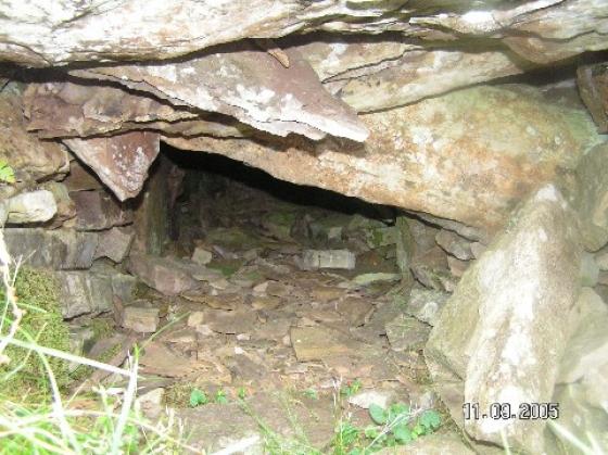
Among the disturbance to the southeast are signs of walling.

Just a hint of wall footings among the vegetatiion.
Visited 24.7.14
Directions:
On the eastern side of the A99.
A short distance south of Thrumster.
The remains of the broch are easily seen from the road and is only a short walk from the road – through a field of sheep. It is now no more than a large grass covered mound approximately 2m high.
CANMORE state:
The remains of this broch have been reduced to a large grass-grown mound situated at the edge of a cultivated field 240m S of Borrowston farmsteading (ND 3291 4381). The main body of the mound measures 35m in diameter by 2.5m in height, but what is probably the position of the broch is marked by a mound measuring 13.5m from NE to SW by 12m transversely and up to 1.2m in height, which rises from its flat top a little W of its centre. A small, probably modern, pit measuring 1m in diameter and 0.5m in depth, has been dug into the upper mound. What may be the remains of a building are situated immediately to the E of the upper mound, where there is a shallow depression about 8m in length. In a corresponding position immediately to the W of the broch the surface of the mound has been heavily disturbed.
(YARROWS04 688)
Visited by RCAHMS (JRS) 12 August 2004