
The drop off on the northern side of this very probable cairn defined by a change in bracken height. What sights beyond…
Image credit: Mike Purslow
The drop off on the northern side of this very probable cairn defined by a change in bracken height. What sights beyond…

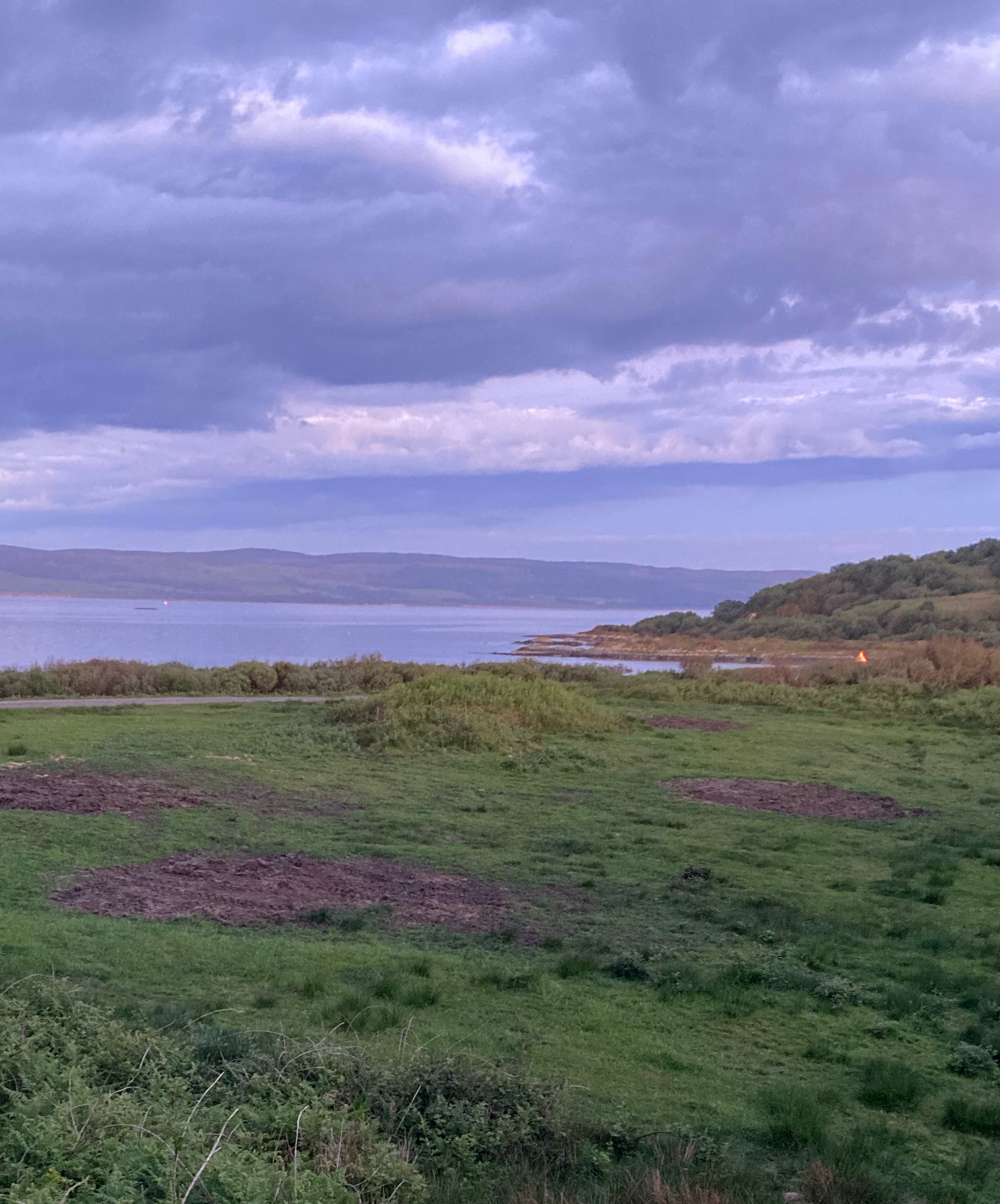
The two cairns with East Tarbert Bay beyond, and beyond that the Sound of Gigha and the Kintyre mainland. A twenty minute ferry trip from Tayinloan to another world: Colonsay in miniature.


From ‘Cycling’, 5th October 1895. (Tip for cyclists in the accompanying article: “Besides the ancient temple at Callanish, there is a modern inn which produced capital oatcakes and butter”.)


From the Illustrated London News, 24th September 1864.

Also called “Kilander’s Stone”. Drawing accompanying an article in the Dundee Evening Telegraph, 12th December 1900.

With trees, in an article in the Dundee Evening Telegraph, 12th December 1900. (It looks a bit pointy? But is labeled Clachan-Iobairt, Bruar. So I assume just a different viewpoint?)

Rubbing of the rock art on the cist cover (in low resolution, sorry, but you can see what it’s getting at). From ‘Further excavations of cairns at Poltalloch, Argyll’ by J. Hewat Craw. PSAS vol. 65 (1931).

“A striking feature of the monuments in the Poltalloch district is the great size of slabs used as standing stones and as the covers and side-slabs of cists. At many places in the neighbourhood can be seen outcrops of rock where such slabs could be got with little labour. One of the most striking of these is shown in fig.13 at Torbhlaren Hill near Kilmichael Glassary. By the process of denudation the slabs stand out isolated from the face of rock, merely requiring to be broken off. Others that have fallen away lie ready for carrying off, on the steep slope below.” from ‘Further excavations of cairns at Poltalloch, Argyll’ by J. Hewat Craw. PSAS vol. 65 (1931).

The N side of this badly degraded dun, top centre, seen from the minor road near Torblaren standing stone. Note the three equally spaced stones lying below and to the left which I think require investigation.


Looking S towards the dun at R, top


Plan showing the hut circles inside, from ‘Field Work in Colonsay and Islay 1944-45’ by Stuart and C.M. Piggot, in Proceedings of the Society of Antiquaries of Scotland, vol 80 (1948).

From the back of this postcard: “Druidical Stones of Buile-Riabhach. Above the pretty Scalasaig Hotel stands this lonely memorial of bygone ages. archive.org/details/nby_LL7057
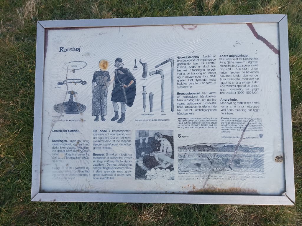
Korshøj, a burial mound in the middle of a roundabout

Korshøj, a burial mound in the middle of a roundabout

Korshøj, a burial mound in the middle of a roundabout

Korshøj, a burial mound in the middle of a roundabout