|

|
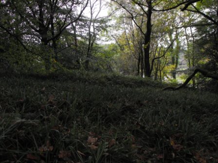
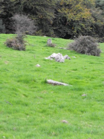
Listed as a possible ringfort in the 'Archaeological Inventory for County Tipperary' this certainly does looks like this is a rath. There is evidence of a bank but no fosse and is roughly 28m in diameter. The proximity to other ringforts in the area also suggests that this is a rath. I will let you judge for yourselves about this one. I didn't set out to see this site but passed it on the way to another rath with a church built inside which is only about half a mile away.
Located in a field off the R491 this site is in a well drained cattle field.
|

|
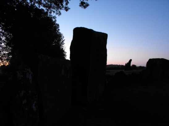
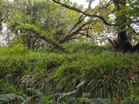
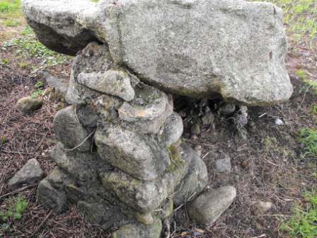
Rather impressive rath located in a bend in the road in the Slieve Blooms and luckily it is signposted. The bank and fosse appear to be in good condition there are substantial earthworks on top of the rath also. It is very steep as raths go. There is also evidence of a souterrain in the NE section of the upper part of the rath. I was unable to locate this as the site is very overgrown.
It is easy to find as the road deliberately goes around it. There are 'no trespassing' signs on the site so permission is advisable. Be careful when climbing this site as it is overgrown and has many hidden ditches and holes...not to mention the barbed wire that surrounds it.
|
   
|

|
  
|
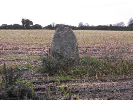
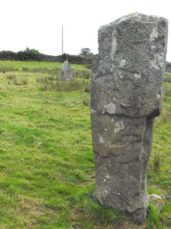
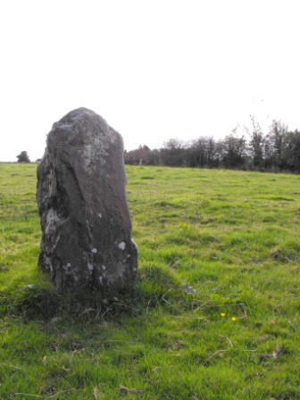
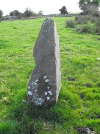
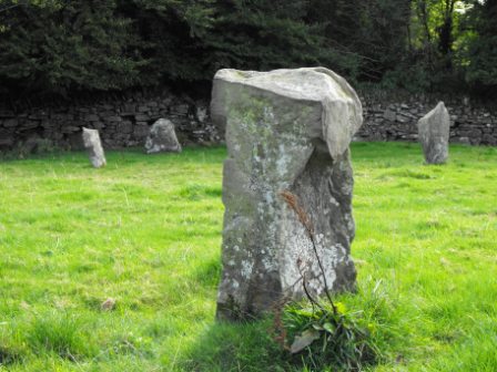
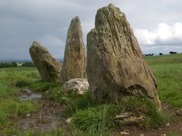
Roughly 1.9m high and 1.2m in diameter at the base and tapering towards the top. The stone is aligned E-W. I could find no other information about the stone apart from what was in the Archaeological Inventory of Carlow.
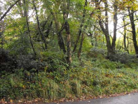
Clearly visible from the road.
|

|
 
|
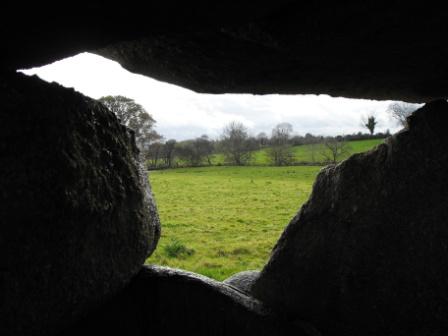
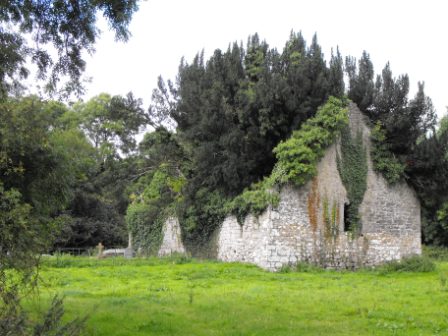
This was a truly great find and I was glad I decided to go there because it was not on my agenda on the day I saw this place. This site is lost in time and unless you set out to find it you could easily walk by without ever knowing that it was there. What is fantastic about this site is that it shows the reusing of a site from an earlier period and has a medieval church within a ringfort.
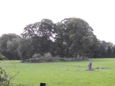
The ringfort is in excellent condition but is somewhat overgrown. It is roughly 55m in diameter with an inner and outer bank and fosse and a walkway leading to the interior. The NE portion of the rath has been levelled somewhat but still visible. This would have been an easily defendable rath as it is located on the summit of hill and would have commanded good views of the surrounding country side before becoming overgrown with trees.
Church – The church is located in the interior of the ringfort and has a small private burial plot attached to it. The church is in a poor state of repair but retains all of it walls to full height but has many trees growing inside. Built in the 15th century beam holes are still visible that would have supported attic accommodation space. Window spaces still survive in the E and W gables.
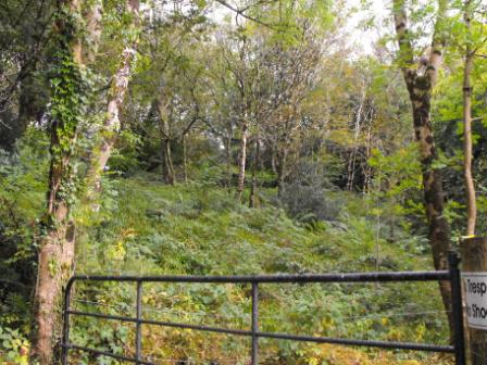
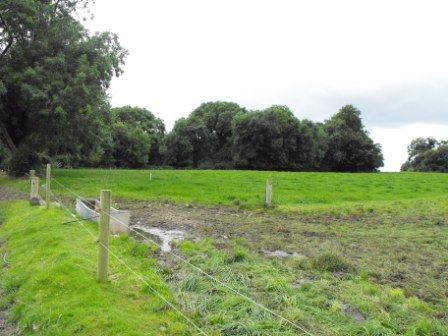
Difficulty – Access from the R491 is through a farmyard which is extremely muddy. When I arrived at the farmyard there was nobody there and there were many electric fences crossing the pathway. I decided to approach the site from the other side of the hill which proved much easier. There was still some electric fence negotiating however when I arrived at the site. The interior of the rath is a little marshy, especially around the small graveyard and many of the graves are collapsing in on themselves so I would recommend staying outside of the plot. The church is closed but the gate can easily be climbed over. The interior is hard to navigate because of the trees and undergrowth. I didn't get as good of a look as I would have liked inside as I unusually came across a badger so I had to make a quick exit.
|

|
| |