(SP 6317 5657) to SP 6328 5680) EARTHWORKS (LB) (1)
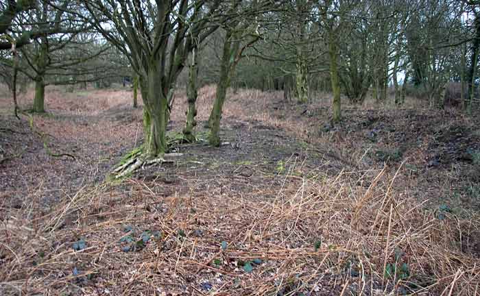
On the N side of the road to Stowe, where it bends to the NE, is an entrenchment in a foss cover. It consists of a double trenched foss, c 6" deep. (2) "In the Earl of Danby's time (c 1600) there were two parks at Stowe, contiguous with each other, well stocked with deer, which upon the complaint of the tenants have since been converted to another use". (The double ditch could well be the remains of a deer leap). (3) Although scheduled under secular works and sites (a) this feature is not an antiquity. The earthworks comprise three parallel banks apparently made up of soil and spoil. This is a typical result of a particular kind of surface quarrying which involves clearing a relatively small working area spread over a broad front. Similar workings on a larger industrial scale are to be seen in this county east of Corby. Published survey cancelled.(a) (4) RCHM rejects interpretation of the linear earthworks (centred SP 6325 5670) as a result of quarrying, or that they are 19th century military works for cannon associated with Weedon Barracks, or a medieval warren. A more acceptable explanation is that they are part of a linear boundary of prehistoric date, possibly reused at a later date as part of a deer park boundary (SP 65 NW 29). [RCHM plan and profile]. Air photographs show that the feature continued N.E. for at least 180m (5)

 Posted by Chance
 Posted by baza