Directions:
Alongside the B1085, to the immediate west of Kennett - opposite a public footpath.
There is just about room to squeeze in at the start of the footpath.
Due to the unseasonal nice weather I was still wearing shorts although this soon proved a bit of a problem as I had to wade through knee high nettles. Yes, they did get me!
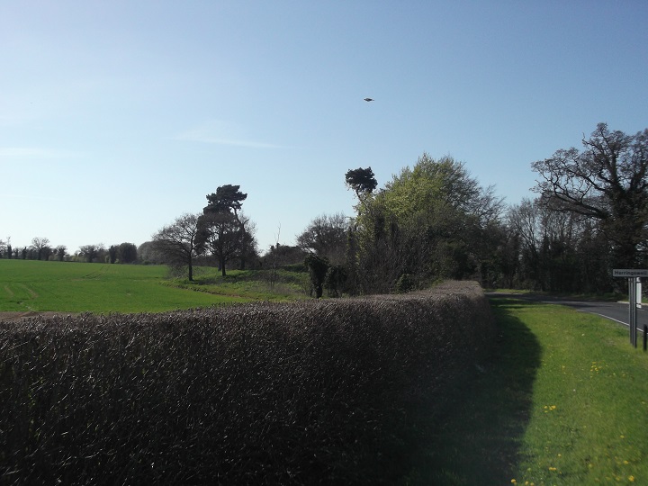
It was worth it though as the barrow is large and in good condition. It is approximately 3m high x 30m across. E.H. state it is undisturbed which I find strange given it is right next to a road. In fact the northern edge of the barrow has been clipped by the road. Still, I am sure they know best!
There are several trees growing out of the barrow - Scotch Pine and Oak. The barrow is surrounded by fields in crop.
Although parking is a little tricky it is well worth stopping off to see this barrow if you happen to be in the area. If so, also go and see the nearby Moulton Medieval Packhorse Bridge (E.H.) - well worth a visit.
A named round barrow, not far from the Icknield Way. The name is 'double' - Howe itself means a mound. The barrow is Bronze Age, though local people perhaps once thought differently - the vicinity is called 'Dane Hill'.

 Posted by Rhiannon