The Modern Antiquarian. Ancient Sites, Stone Circles, Neolithic Monuments, Ancient Monuments, Prehistoric Sites, Megalithic Mysteries

England   Northern England   Yorkshire   North Yorkshire  

The Bridestones

Ancient Village / Settlement / Misc. Earthwork

<b>The Bridestones</b>Posted by fitzcoraldoImage © fitzcoraldo
Nearest Town:Guisborough (5km WNW)
OS Ref (GB):   NZ645121 / Sheet: 94
Latitude:54° 29' 59.55" N
Longitude:   1° 0' 14.14" W

Added by fitzcoraldo


Discussion Topics0 discussions
Start a topic


Show map   (inline Google Map)

Images (click to view fullsize)

Add an image Add an image
<b>The Bridestones</b>Posted by fitzcoraldo <b>The Bridestones</b>Posted by fitzcoraldo <b>The Bridestones</b>Posted by fitzcoraldo <b>The Bridestones</b>Posted by fitzcoraldo <b>The Bridestones</b>Posted by fitzcoraldo

Fieldnotes

Add fieldnotes Add fieldnotes
There are many ways to access this wonderful site. My favoutite is from Commondale along the old 'Monk's trod' path. Once you pass through the gate at the bottom of the Whitely Beck valley you will notice a large earthwork running along the eastern side of the valley, this is Park Pale, the boundary of a medieval deer park. As you gradually walk up the valley, passing the war memorial to two fallen Grenadiers from WWI, you will notice that the skyline ahead is dotted with stones. These are the Bridestones.
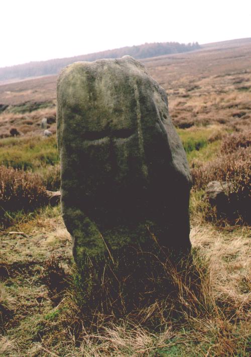
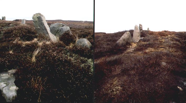
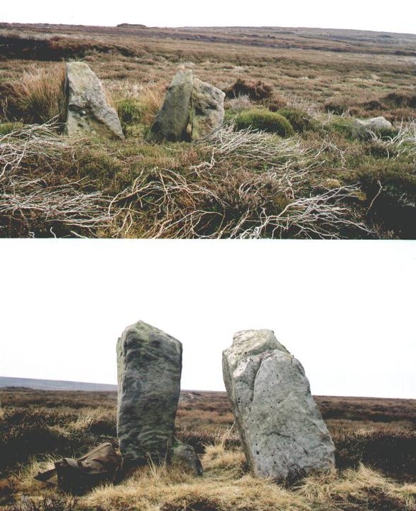
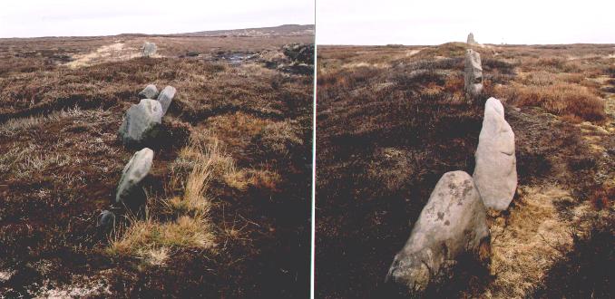
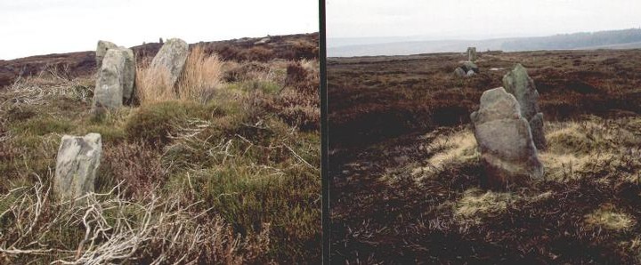
The earthwork starts at the edge of the river valley and runs roughly north-south for about 1 km. Over this distance I counted 55 individual stones all free standing, all very weathered, all ancient. There are other stones scattered about and a cursory glance in the numerous grouse butts shows where other stones have been used.
One of the stones close to the ancient Guisborough road has been marked with a cross and a bench mark.
As you move away from the river valley, the earthwork becomes more defined until it finally peters-out on the moor top 15 metres west of the most northerly barrow.
fitzcoraldo Posted by fitzcoraldo
21st January 2004ce
Edited 22nd January 2004ce

Miscellaneous

Add miscellaneous Add miscellaneous
Blessed is t' bride 'at t' sun shines on,
An' blessed is t' deead 'at t' rain rains on.


Traditional
fitzcoraldo Posted by fitzcoraldo
20th May 2004ce
Edited 20th May 2004ce

"Excavation has confirmed and amplified the postulated construction sequence. The first stage of boundary appears to have comprised an alignment of boulders, perhaps quite closely set in groups or even contiuously, with an associated low mound of upcast. After a distinct interval (long enough for the establishment of a humic layer) the character of the boundary was changed with the excavation of a ditch and the construction of a bank which encapsulated the boulder alignment. It seems possible that the bank was topped by a stone construction which may have served to fill the gaps between the protruding boulders, creating a post and panel effect".

"The Brides of Place: cross-ridge boundaries reviewed"
by Blaise Vyner
Moorland Monuments
CBA Research Report 101 1995
fitzcoraldo Posted by fitzcoraldo
5th April 2004ce
Edited 14th November 2005ce

"We now see the first signs of territorial boundaries-which may have arisen from land hunger-in the shape of long earthen banks with upright stones in them at intervals. Such banks would have been useless as defence works, so were in all probability boundary marks between different families, clans or tribes. Examples can be seen near Hob-on-the-Hill close to the track from Guisborough to Commondale. In the earliest perambulation of the boundaries of the Guisborough estates, this line of stones is referred to as 'The Bridestones', a name which has been long lost".

The North York Moors
Stanhope White
1979
fitzcoraldo Posted by fitzcoraldo
21st January 2004ce

"At the head of the North Ings valley we have one of the most remarkable defence works on the moors, one, moreover, which no one seems to have previously noticed. It begins at an altitude of 925 feet on the edge of a steep bluff above Whitley beck, the small stream that flows down the North Ings valley, and it runs almost due north for a third of a mile, to an altitude of 1,000 feet, where its termination is lost in boggy ground at the very head of the Boosbeck valley on the northern side of the watershed. For the greater part of its length it consists of a broad low rampart of earth and stones, with the remains of a fosse on the west side. On the top of this rampart but towards its eastern edge, there runs a line of at least 35 upright stones, 3-5 feet high, of varied shaped and sizes, unhewn, intensely weatherworn, and in places fixed side by side.
This work is one of the most impressive relics of antiquity in North-East Yorkshire. Had it not been for the fact that the ancient road to Guisbrough has ruthlessly cut through it in many places and that keepers have wantonly used its substantial stones for building the foundations of grouse shooting-butts, it would have been still more impressive".

Early Man in N.E. Yorkshire
Frank Elgee
1930
fitzcoraldo Posted by fitzcoraldo
21st January 2004ce
Edited 22nd January 2004ce