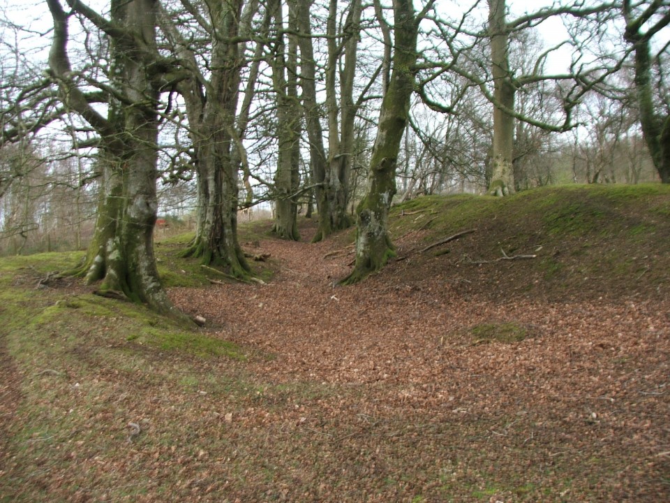
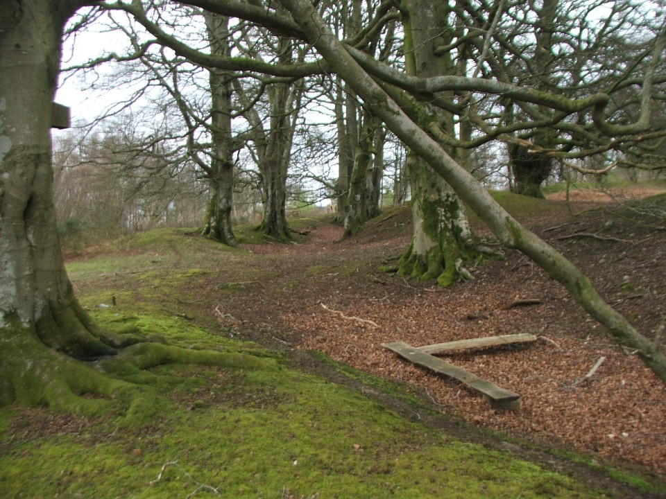
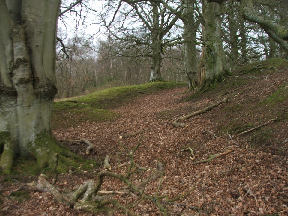
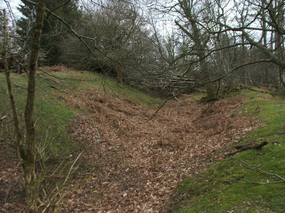
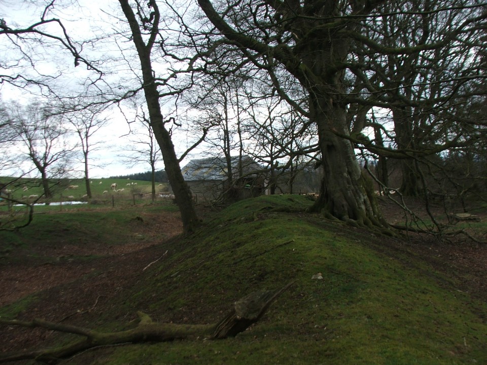
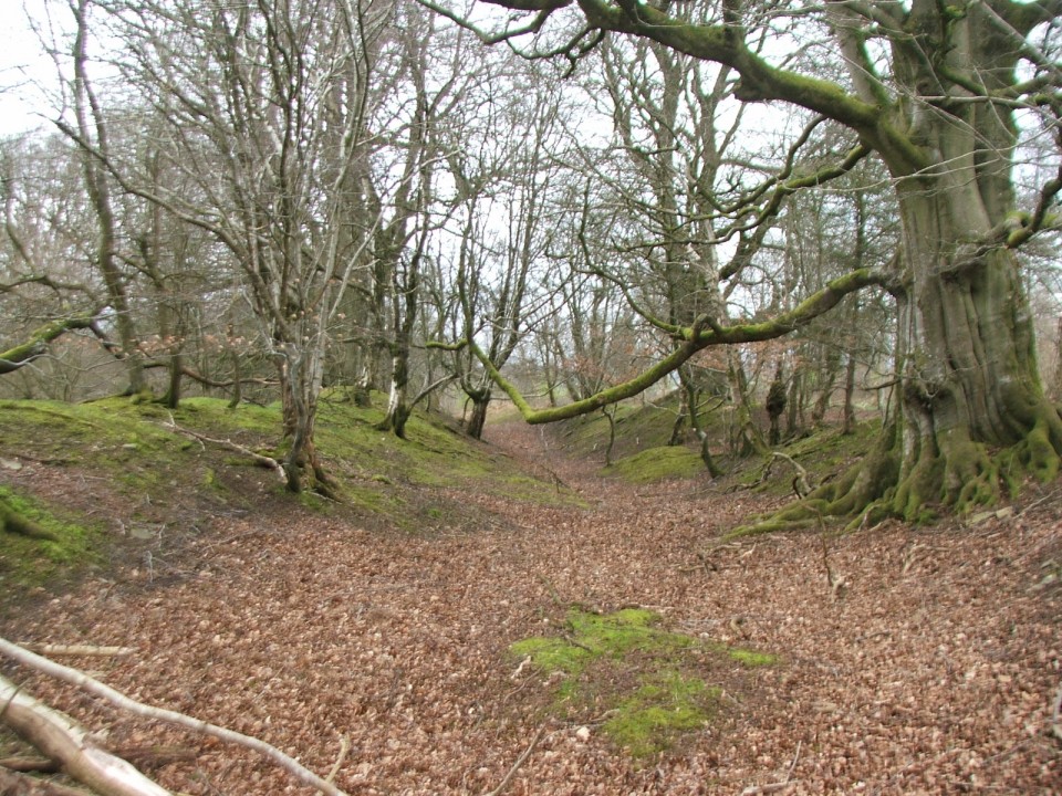
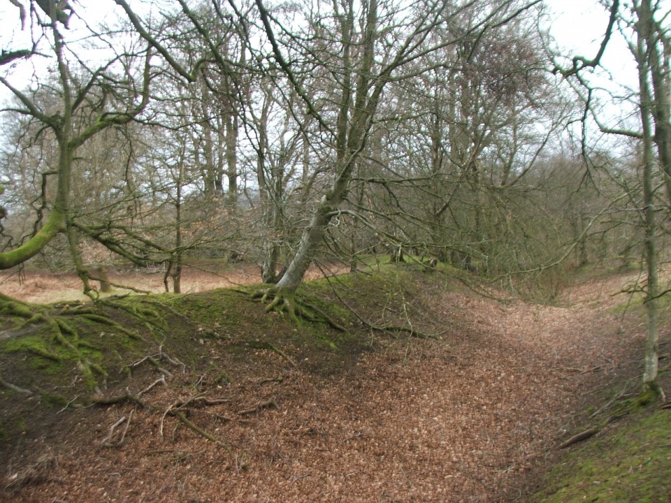
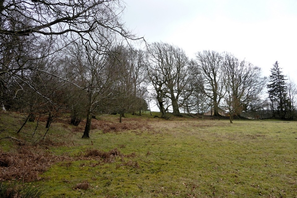
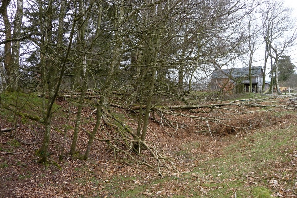
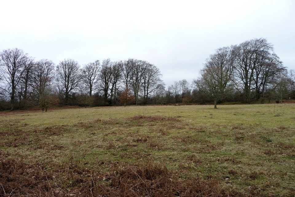
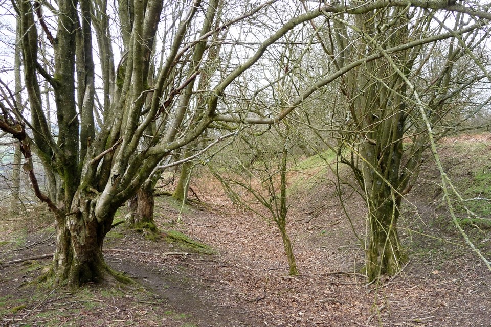
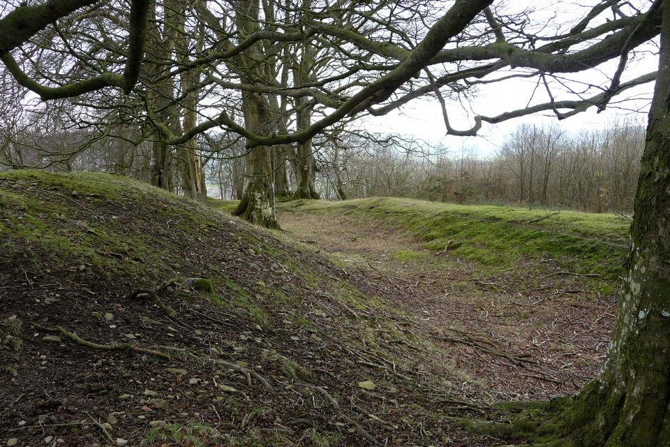
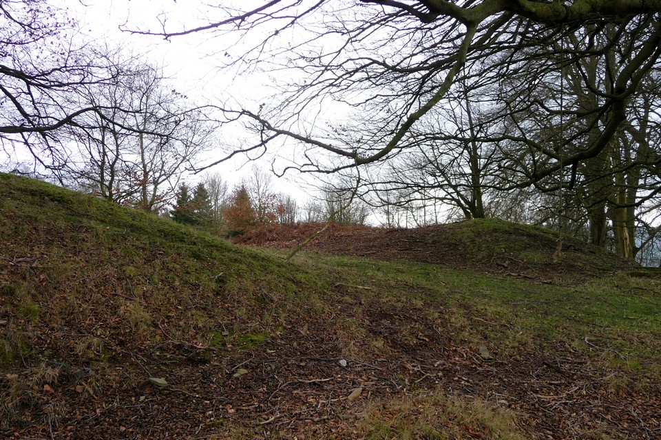
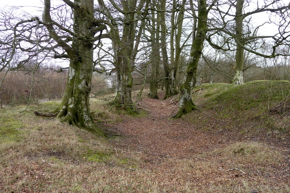
Log in
|
Register
Home
Latest Posts
Forums
Maps
Help
Browse Sites
News
Blog
Contributors
The Books
Select
-
Belgium
Denmark
Eire
France
Greece
Italy
The Netherlands
Norway
Portugal
Republic of Malta
Spain
Sweden
Switzerland
United Kingdom
Wales
Powys
Radnorshire
Castle Ring
Hillfort
Castle Ring (Pen Offa) (Hillfort) on The Modern Antiquarian, the UK & Ireland's most popular megalithic community website. The site also contains a vast wealth of information on many more ancient sites across the UK & Ireland.
No image available
Also known as:
Pen Offa
Nearest Town:
Presteigne (5km ENE)
OS Ref (GB):
SO266635 /
Sheets: 137, 148
Latitude:
52° 15' 51.47" N
Longitude:
3° 4' 32.33" W
0 discussions
Start a topic
Show |
Hide
Web searches for Castle Ring
Flash Earth
Flickr
Google
Google Images
The Megalithic Portal
Multimap 1:25000
Stone Pages
Streetmap.co.uk
Wikipedia
Show map
(inline Google Map)
- Sites within 20 km -
-
Knobley standing stone (2.2km S) (1 post)
Kinnerton Court Stone II (2.21km WSW) (8 posts)
Kinnerton Court Stone I (2.24km WSW) (12 posts)
Crossfield Lane barrow (2.48km WSW) (3 posts)
Hindwell Pool (3.03km SSW) (4 posts)
Hindwell Enclosure (3.04km SSW) (4 posts)
Burfa Camp (3.07km ESE) (1 post)
Hindwell Stone (3.1km SW) (4 posts)
The Four Stones (3.35km SW) (36 posts)
Gilfach Hill (3.53km NNE) (5 posts)
Hindwell Cursus (3.71km SW) (3 posts)
Walton Green Cursus (3.83km S) (2 posts)
Harpton Court Barrow (4.32km SW) (2 posts)
Crossway Barrow (4.41km SW) (0 posts)
Old Radnor Church (4.68km SSW) (5 posts)
Stapleton Henge (5.95km ENE) (1 post)
Bache Hill and the Whimble (6.15km WSW) (24 posts)
Black Mixen (6.98km W) (10 posts)
Shepherd's Well cross dyke (7.88km W) (5 posts)
Wapley Hill (8.05km E) (3 posts)
Kinsham Cupmarked Stone (9.2km ENE) (1 post)
Lower Court (Lower Kinsham) (9.28km ENE) (1 post)
Skyborry (10.55km N) (2 posts)
The Van (11.2km WSW) (1 post)
Bryn y Maen fallen monolith (11.65km WSW) (4 posts)
Llanerch Stone (11.87km WSW) (6 posts)
Milton Cross (12.31km E) (1 post)
Bryn y Maen (12.82km WSW) (5 posts)
Caer Caradoc (13.01km NNE) (4 posts)
Llandegley Rocks (13.17km WSW) (4 posts)
Cwm Maerdy (13.22km WSW) (7 posts)
Fedw (13.43km WSW) (5 posts)
Wern-y-Gaufron (13.78km NW) (1 post)
Melin-y-Grogue (14.02km NW) (1 post)
Coxall Knoll (14.04km NE) (1 post)
Pennant Pound (14.18km NW) (1 post)
Graig Camp (14.39km WSW) (11 posts)
Walford Barrow (14.82km NE) (2 posts)
Castle Ditches (15.12km NE) (0 posts)
Rockhill (15.18km N) (6 posts)
Great Hagley (15.26km NNE) (5 posts)
Pen-twyn Camp (Brilley) (15.37km S) (0 posts)
Giants Grave (15.42km SW) (6 posts)
Six Stones (15.65km SW) (1 post)
Fedw Llwyd (15.79km NW) (1 post)
Pyon Wood Camp (15.91km ENE) (2 posts)
Pen y Wern (15.99km NNE) (8 posts)
Brandon Camp (16.04km NE) (2 posts)
Llanfair Hill (16.19km NNW) (5 posts)
Buckton Round Barrows (16.36km NE) (1 post)
The Rock of Woolbury (16.88km NNE) (0 posts)
Old Stone (Pant-y-Caregl) (16.89km NW) (1 post)
Pawl Hir ring cairn (16.92km WSW) (3 posts)
Gilwern Hill cairns (17.26km WSW) (6 posts)
Gelli Hill Cairn (17.45km WSW) (9 posts)
Cefn Wyfre (17.67km SW) (4 posts)
Gelli Hill (17.75km WSW) (18 posts)
Ffrwd Stone (17.86km WSW) (1 post)
Gelli Hill stone (17.87km WSW) (7 posts)
Cwm Stone (17.87km WSW) (4 posts)
Croft Ambrey (18.24km ENE) (17 posts)
Crossfoot Farm stone (18.38km S) (1 post)
Carregwiber (stone 1) (18.42km WSW) (6 posts)
Carregwiber (18.59km WSW) (8 posts)
Whitcott Keysett (18.81km N) (1 post)
Downton Camp (18.86km ENE) (1 post)
Castle Idris (19.08km NNW) (1 post)
Fron Camp (19.21km NNW) (5 posts)
Castle Bank (19.28km WSW) (11 posts)
The Beacon (19.34km WSW) (5 posts)
Little Hill cairn II (19.56km WSW) (1 post)
Little Hill cairn III (19.62km WSW) (1 post)
Broomy Hill (19.77km WSW) (3 posts)
Little Hill VII (19.84km WSW) (3 posts)
- Facilities within 20 km -
-
Knighton Tourist Infor... (Tourist Information: 9.3 km N)
- Add -
-
Add news
Add an image
Add fieldnotes
Add folklore
Add miscellaneous
Add a link
-
Add a site
Add a nearby facility
Add an alternative name/spelling