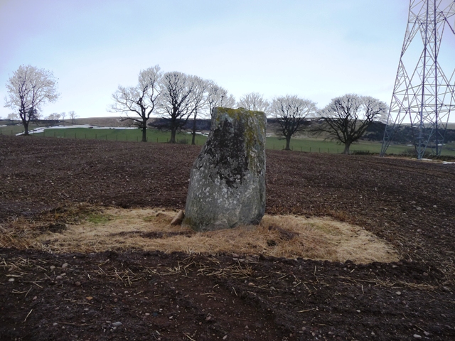
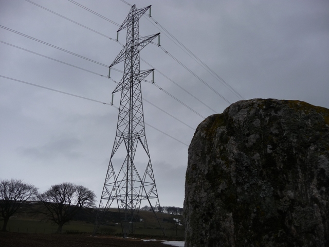
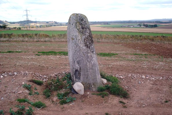
Coming down from the top of Soutra (good karma about this place) I plodded down the hill southwards, jumped the fence and waded to the bottom of the valley. With all the recent bad weather this place is a severe bog but the 'wets' kept me dry. It was also snowing quite heavily, fortunately the wind did a great job and blew it up the valley. After crossing the bog, climb up the other side, jump the fence and the impressive standing stone is a short way in front looking east towards Forfar.
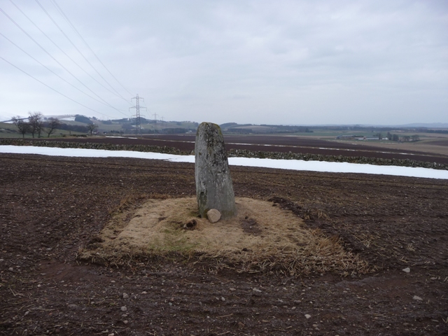
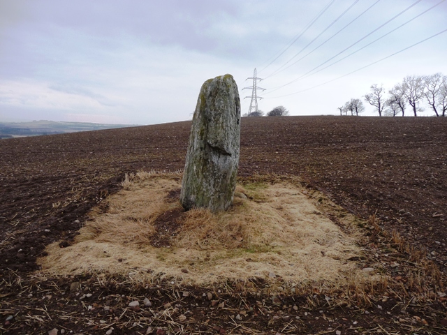
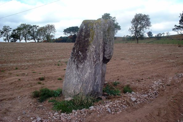
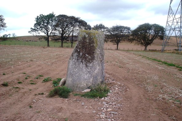
Easter Memus stands at almost 2 meters in height. It is dwarfed by the the pylons but on a cold dark day like today it adds to the atmosphere. With that it was back across the bog and a walk to Law of Windsor to reclaim the car.
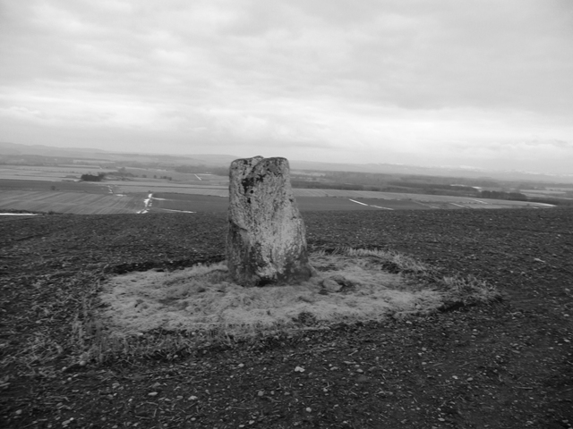
This is a pretty big stone, around 7-1/2 feet tall, and 4 feet wide. It stands in a commanding position on the south side of Soutra Hill, unfortunately now rather dwarfed by the pylons which march along behind it.

 Posted by nickbrand