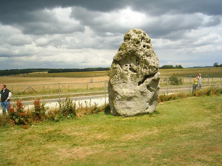
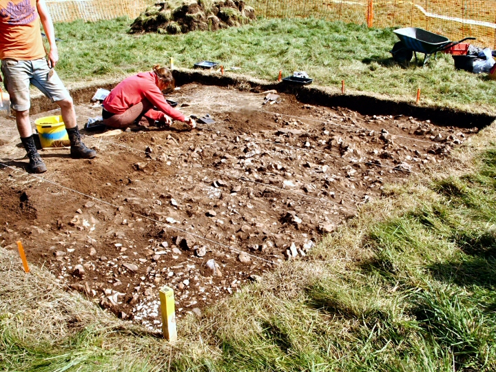
Visited 12.6.10.
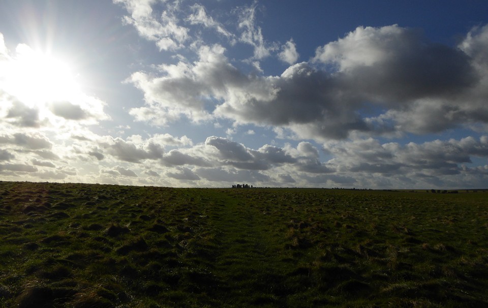
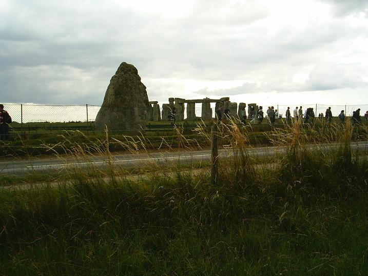
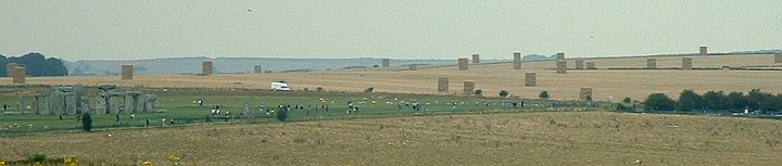
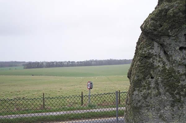
As I am sure everyone knows who has visited Stonehenge, the best place to see the Avenue is just by the fence between the road and the circle. There is a metal bridge where people now cross over the avenue to prevent damage / erosion.
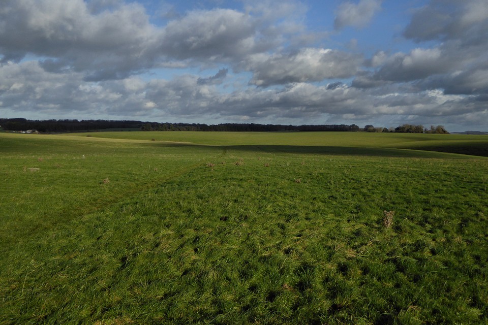
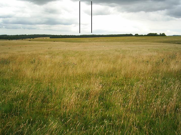
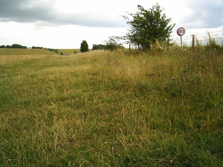
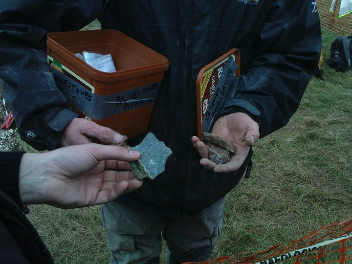
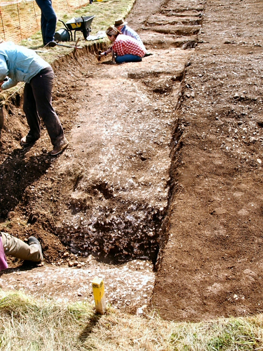
A pair of roughly parallel earthwork banks, each with an outer quarry ditch, running from the River Avon at Amesbury to Stonehenge. The Avenue is generally regarded as representing a processional approach to Stonehenge, and has sometimes been linked with the postulated movement of the blusetones from the Avon to the monument. From the Avon, the Avenue runs about 1km northwest befor curving gently to the west for around 500 metres. It then runs west-north-west in a straight line for 850 metres before turning abruptly to the south-west for a final, straight 530 metre stretch to Stonehenge. The Avenue is circa 34 metres wide near the Avon, gradually narrowing to around 21.5 metres at Stonehenge. Apart from the final straight length towards Stonehenge, much of the Avenue survives only as cropmarks. There is no good evidence to support the idea that the Avenue ever featured a stone setting. Details of all excavations along the course of the Avenue are provided and discussed by Cleal et al (1995). It is regarded as part of Stonehenge Phase 3 (late Neolithic-early Bronze Age, c2500 to 1600BC), and essentially as a single phase monument, contrary to Atkinson's previous phasing. Scheduled.
SU 1230 4224 - SU 1270 4258: The Avenue (AT), (SU 1270 4258 - SU 1416 4155: The Avenue (AT) (course of) (NAT) (1)
Stone records a further northeast extension of the Avenue (to SU 1340 4310) eventually linking to the River Avon at West Amesbury, seen as two dark lines under the plough. (2)


 Maps / Plans / Diagrams:
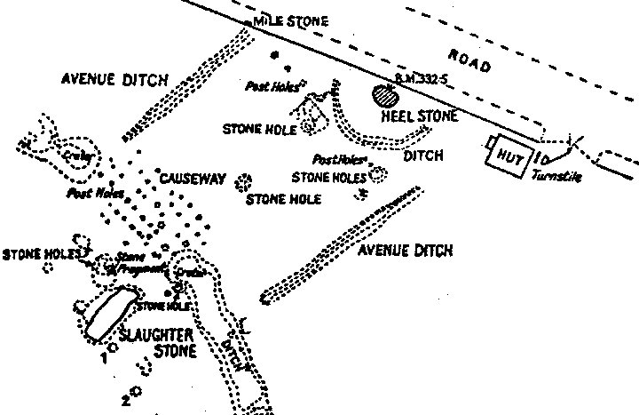 Artistic / Interpretive:
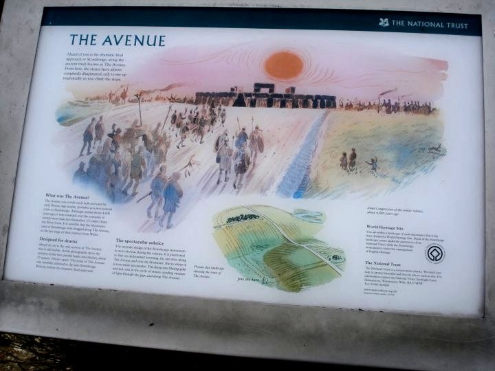
 Posted by Chance
 Posted by Rhiannon